Butterfield Trail to Gadsden Trail Loop – Estrella Mountain Regional Park
Author: chris | Category: Easy Day Hikes, Hiking Trails in the Sonoran Desert | Tags: az, desert hikes, Easy Day Hikes, estrella mountain regional park, phoenix, senoran desert
Butterfield Trail to Gadsden Trail Loop – Estrella Mountain Regional Park
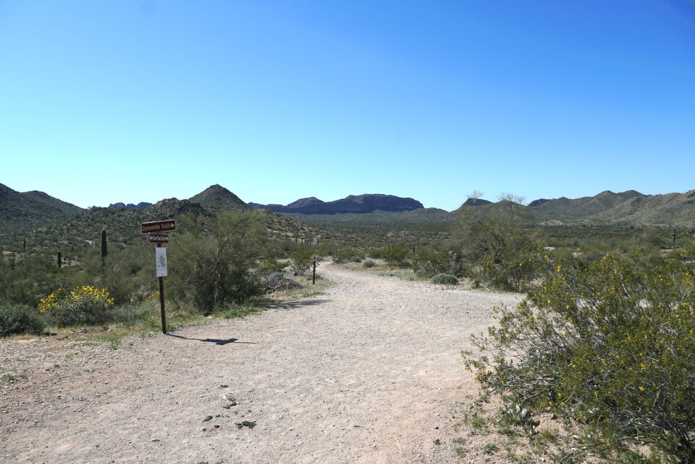
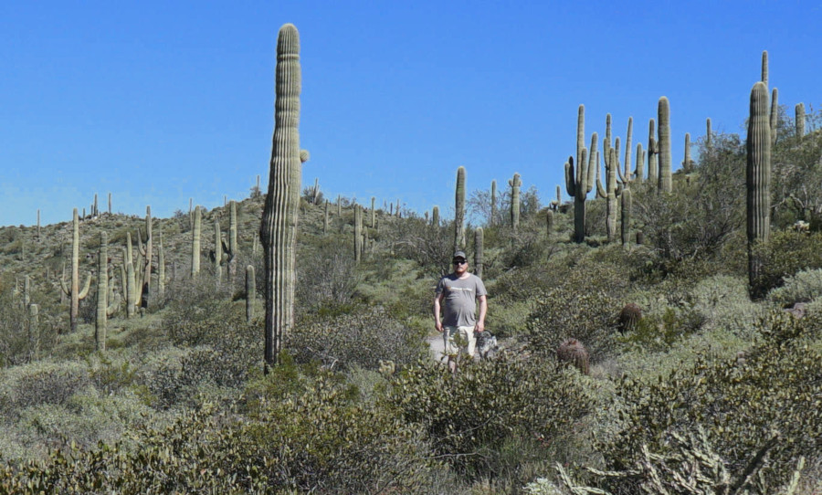
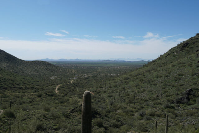
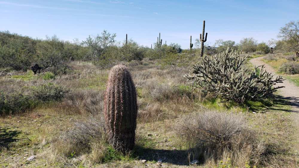
Butterfield Trail
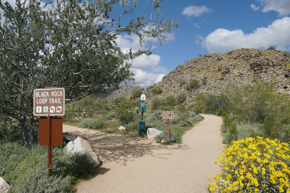
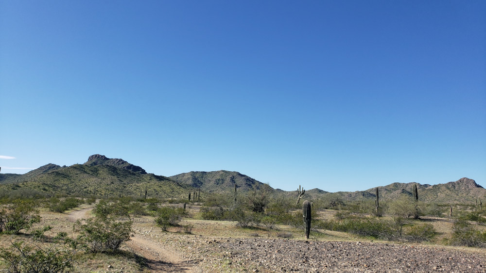
The Sierra Estrella lies southwest of Phoenix, AZ, and the Estrella Mountain Regional Park is the most popular way to access this mountain. Starting at the northern edge of the Sierra Estrella, the Estrella Mountain Regional Park has several trails that lead alongside the popular mountain. One of these trails is Butterfield Trail, which can be combined with Gadsden Trail to form a nice 7.5-mile loop. The trail starts at the Rainbow Valley trailhead and is very easy to follow.
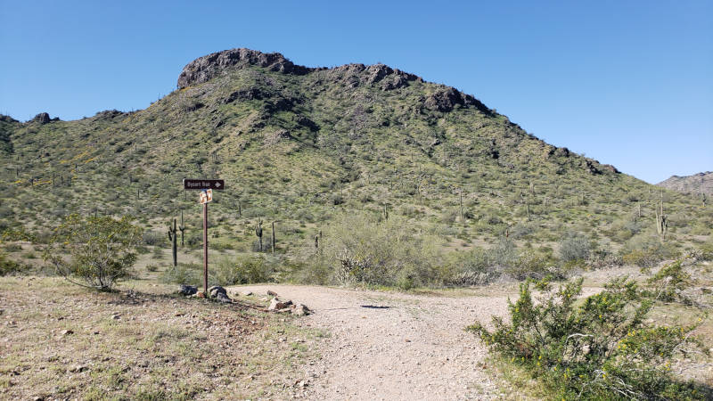
Butterfield to Dysart Trail, an option that makes the loop less than three miles.
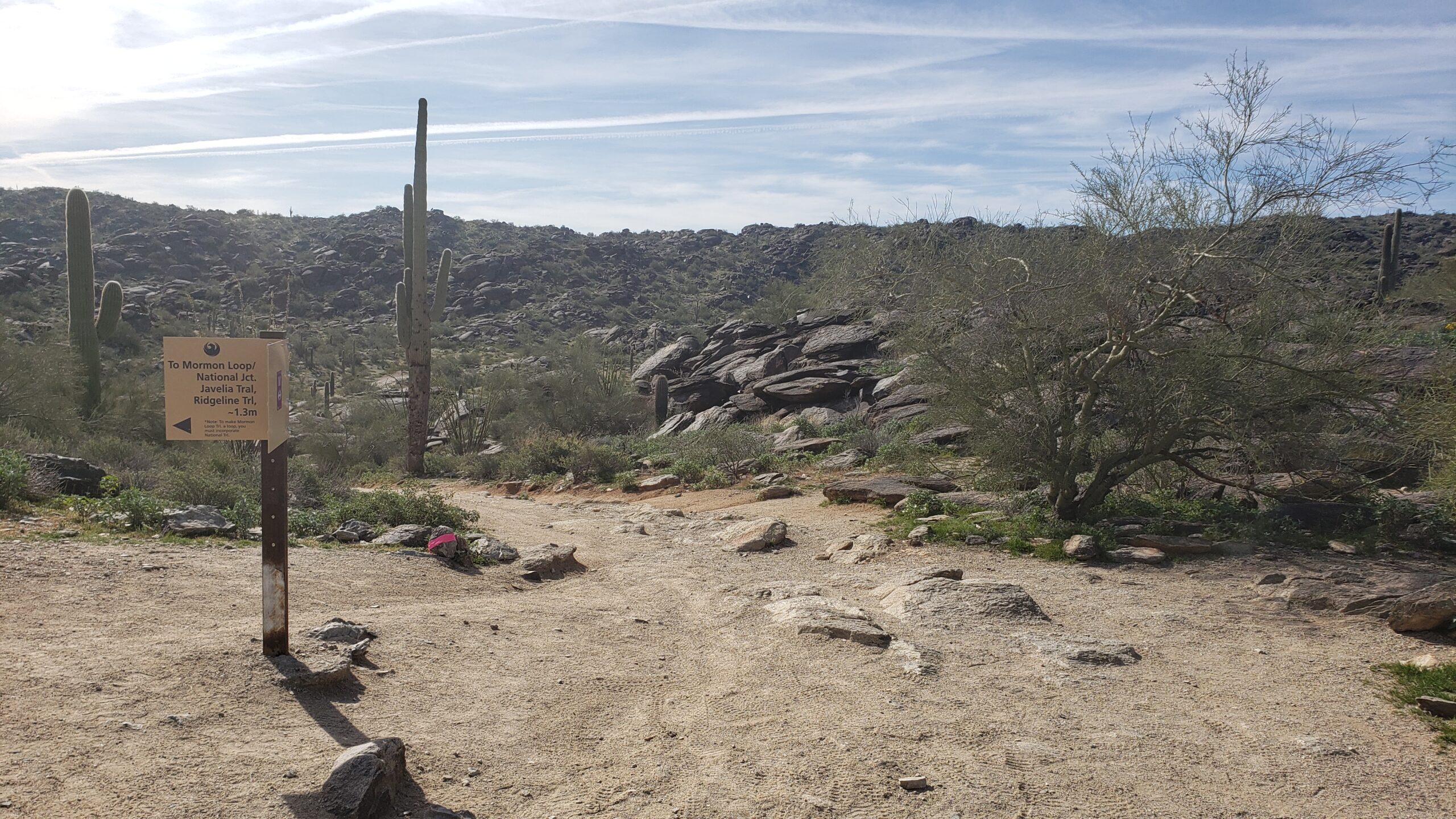
Leaving the Rainbow Valley trailhead, the first turn onto Butterfield appears on the left. Once you’re on the well-signed Butterfield Trail, keep hiking through the Coldwater junction and head south on Butterfield for a mile. At this point, the Gadsden Trail appears on the left heading east. You can pass Gadsden at this junction and hike on Butterfield another 1 1/2 miles to the end of Butterfield, or you can start the loop at the first Gadsden trail junction. I prefer to hike Butterfield down to the end of the trail first, as Gadsden Trail tends to be a little windier on hot days than Butterfield Trail.
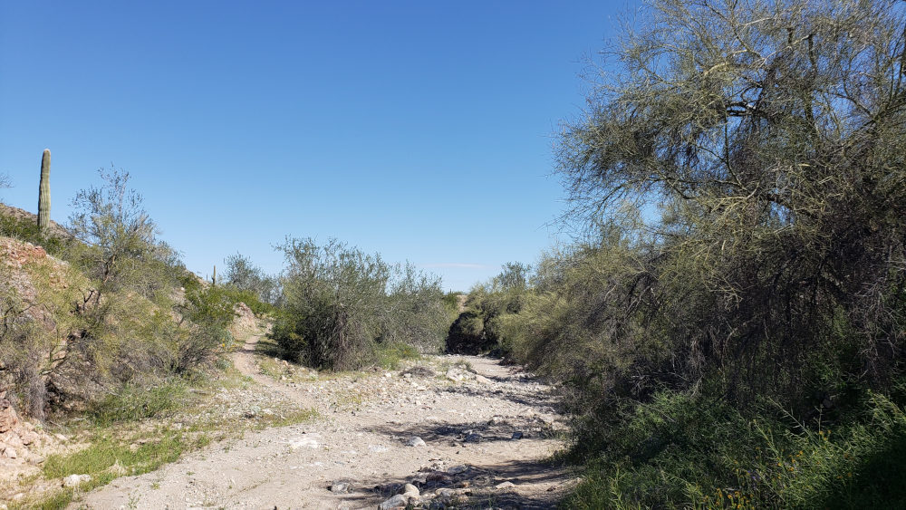
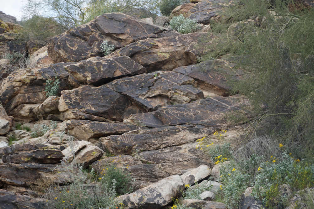
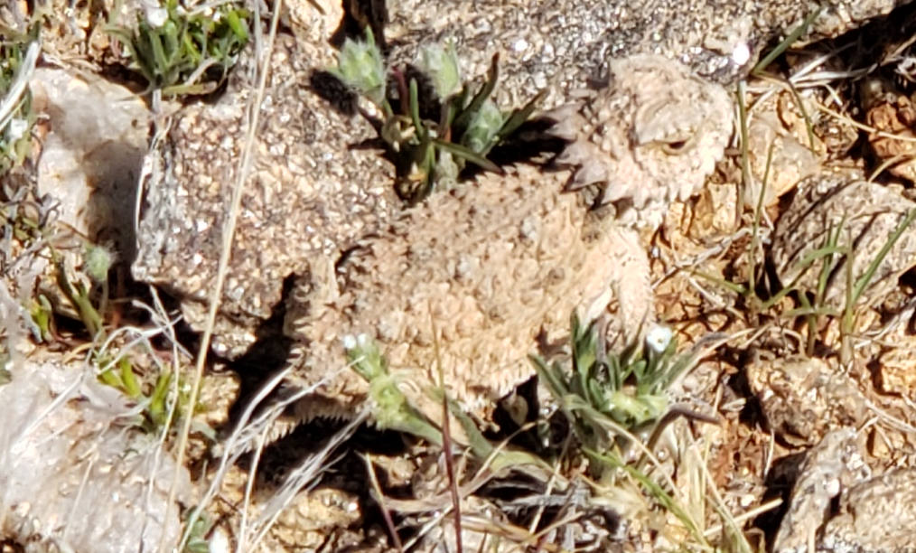
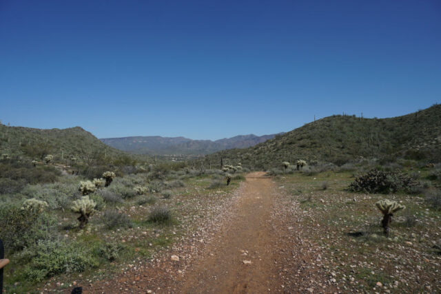
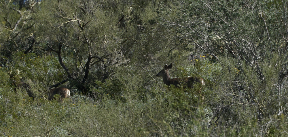
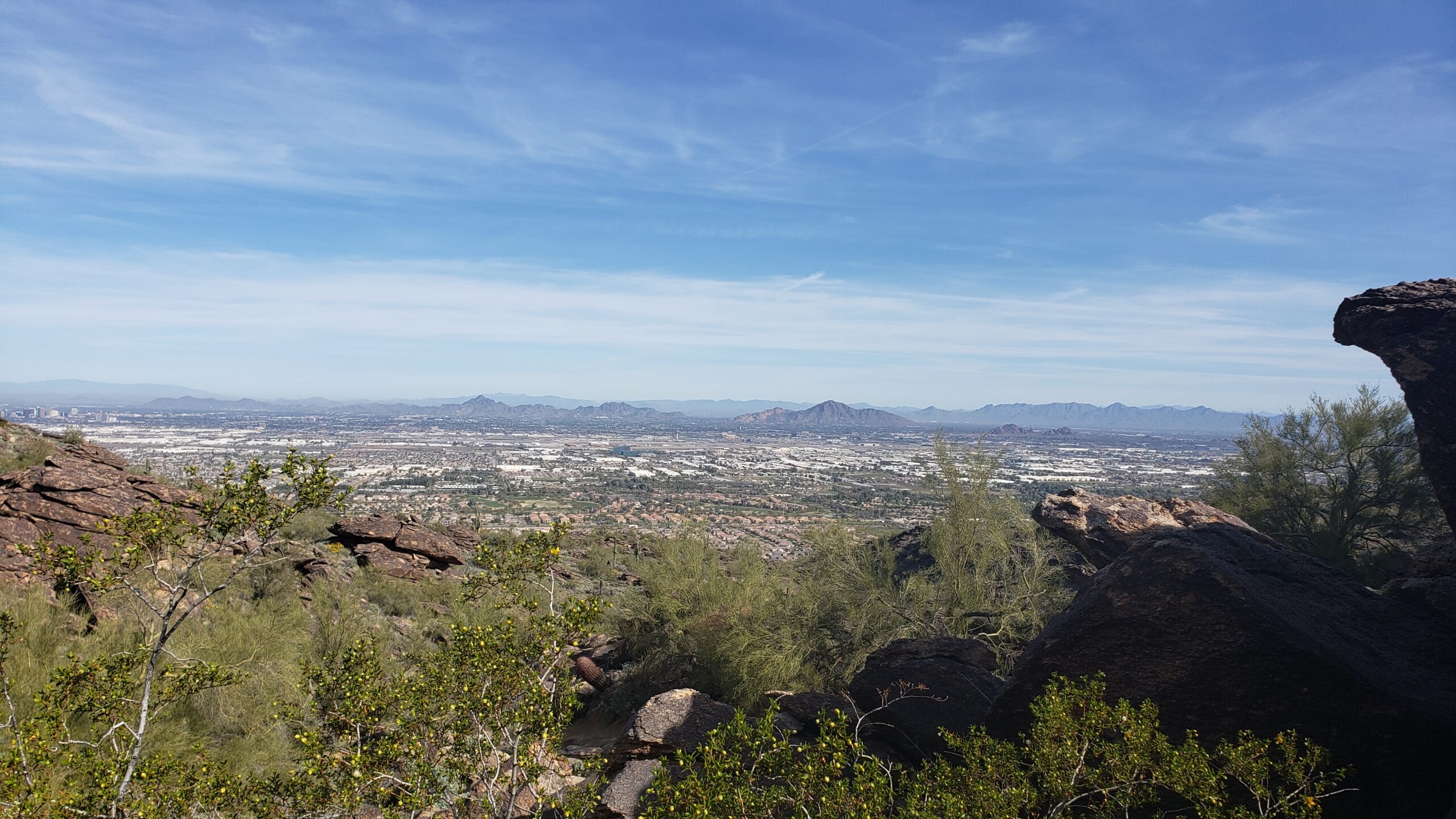
Up and Down Coulees on Gadsden Trail
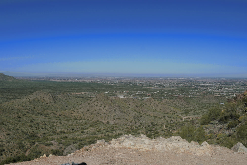
Moving past this first intersection and continuing along Butterfield Trail, the trail leads up and down small hills as you meander towards the Sierra Estrella. After a total of 2 1/2 miles, Butterfield Trail ends at the second junction with Gadsden Trail. Turn left (east) as Gadsden Trail leads up and down small canyons and coulees, circling counter-clockwise towards the first intersection with Butterfield Trail. This trail brings you the best chances of catching a cool breeze and offers views of nearby Phoenix, AZ. Continuing along Gadsden Trail, the Butterfield Trail junction appears straight ahead.

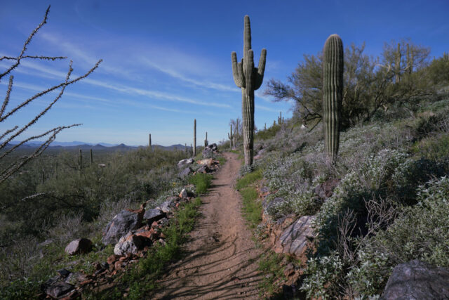
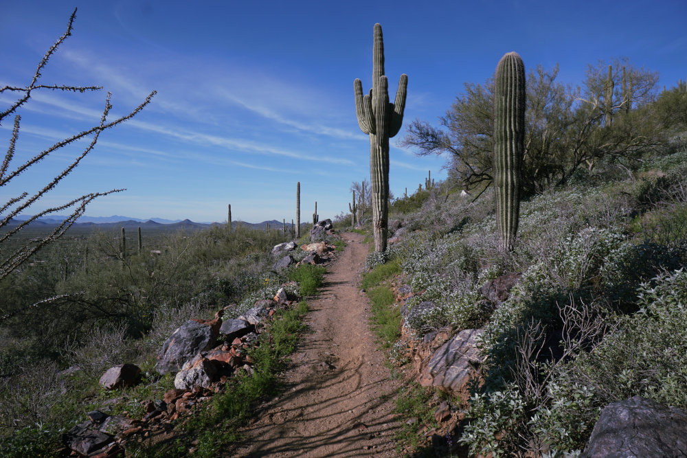
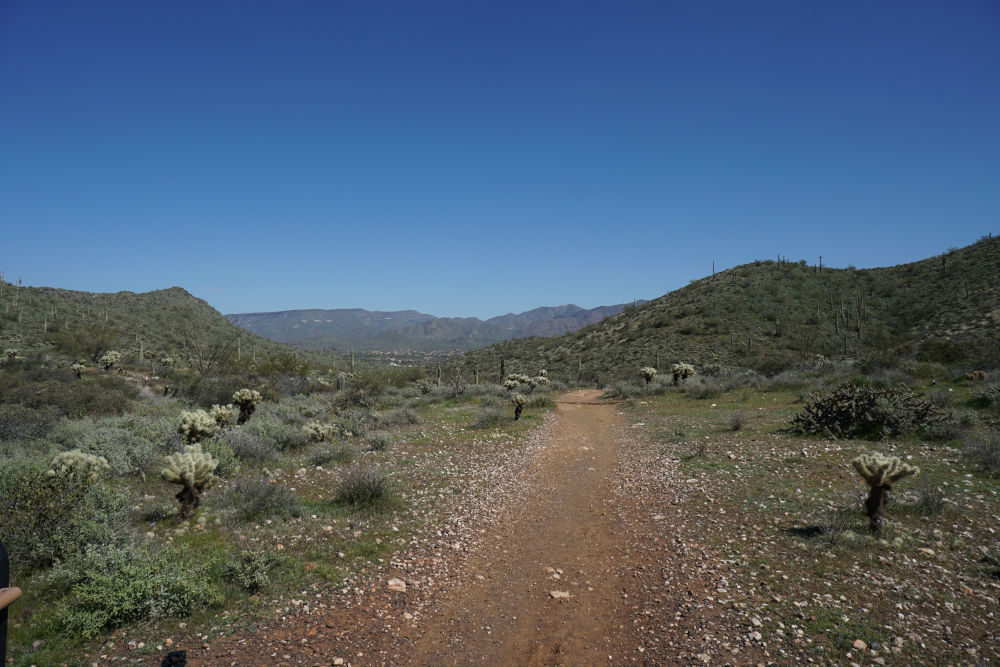
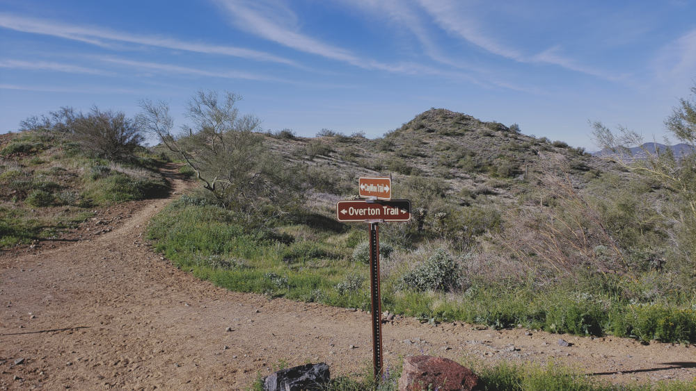
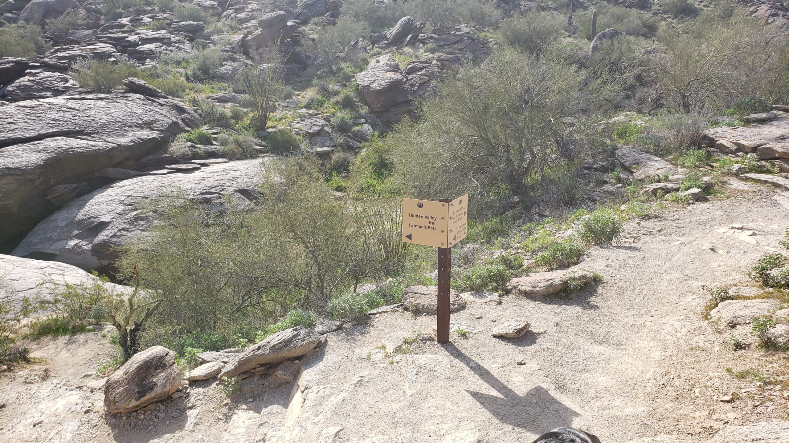
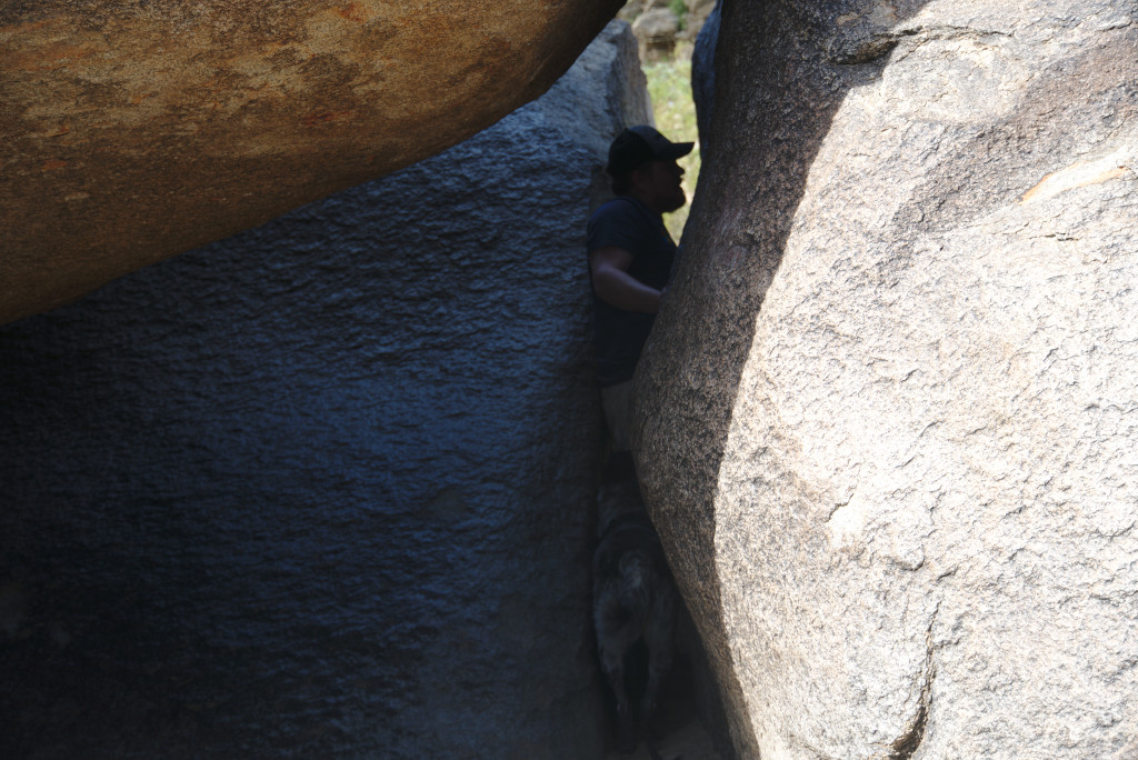
Rare Spot of Shade on Gadsden Trail
Turn left (north) at the intersection for Butterfield Trail, and follow Butterfield Trail the rest of the way until it ends at Toothaker Trail. Turn right here, and follow this short trail to the Rainbow Valley trailhead. Alternatively, you can also turn left when Butterfield Trail meets Coldwater Trail, and follow Coldwater Trail to the Coldwater trailhead. The Coldwater Trail option is a little bit shorter than continuing to the Rainbow Valley trailhead, but if you start and stop this trail at the Coldwater trailhead the difference adds up to saving a quarter mile of hiking.
Directions to the Coldwater/Rainbow Valley Trailhead
Enter Estrella Mountain Regional Park (14805 W Vineyard Ave, Goodyear, AZ 85338), continuing down the paved road until you see a gravel road turnout with a horse arena. Park at either the Coldwater trailhead or the Rainbow Valley trailhead on the other side of the horse arena.
Map to the Coldwater Trailhead
02 Jul 2020