Cave Creek Regional Park
Author: chris | Category: Easy Day Hikes, Hiking Trails in the Sonoran Desert | Tags: az, cave creek regional park, Easy Day Hikes, phoenix, sonoran desert
Cave Creek Regional Park
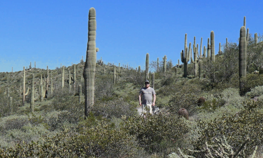
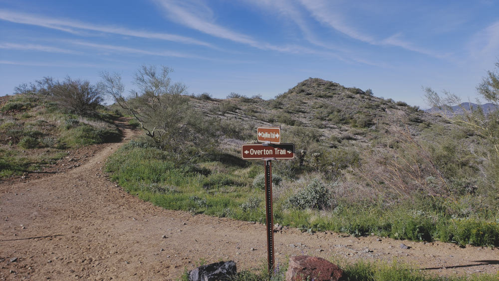
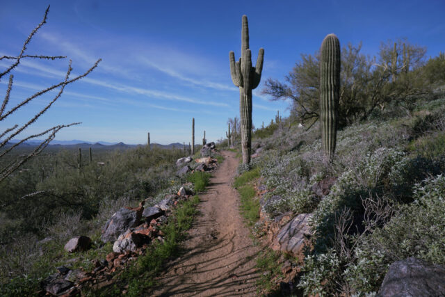
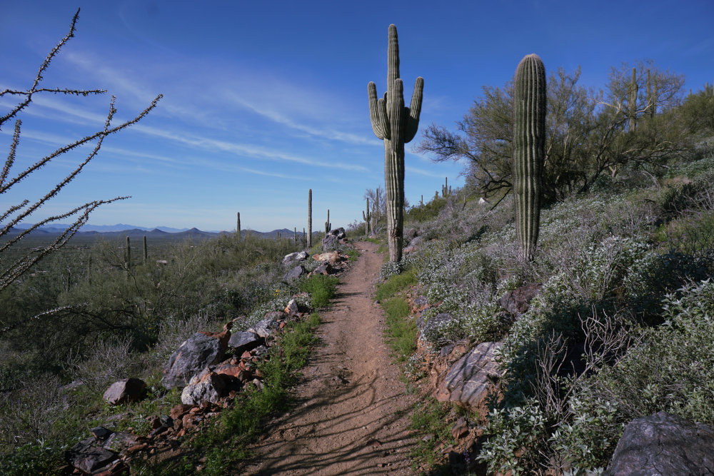
During my visit to Phoenix, AZ, I was impressed by the Maricopa County trail system. One of my favorite parks was Cave Creek Regional Park. Here, there are eight named trails that link together, allowing you to pick and choose where in the park you would like to visit. Bikes and dogs are more than welcome in this park. The park’s located in the Sonoran Desert, a beautiful region dominated by various cacti species. However, like anywhere else in the desert, you must watch for rattlesnakes along the trail. Give them plenty of room, and they’ll leave you alone. Speaking of room, the Cave Creek Regional Park offers over 2,900 acres to recreate in; here is a list of my favorite routes in this park:
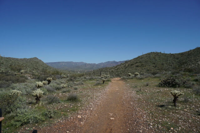
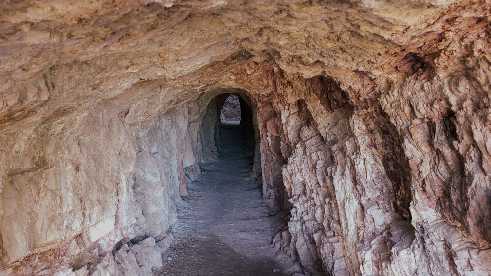
Clay Mine Trail
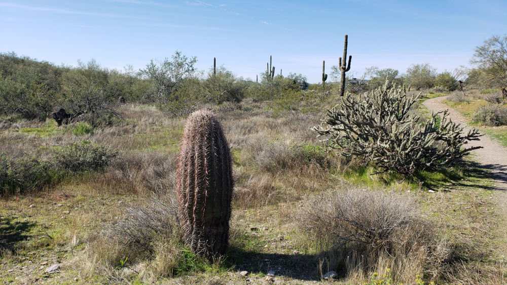
This trail runs approximately 2.5 miles, offering a great view of the park and the hills and cacti surrounding the park. This is the most relaxed hike in Cave Creek Regional Park. As a bonus, there is an abandoned mine at the end of this trail. Keep outside the gate and respect the cacti along the trail, the infamous “Teddy Bear” cactus is plentiful in the Cave Creek Regional Park. One encounter with this cacti will leave lasting memories of removing the horrible pods covered in needles that attach themselves to you as you hike down the trail. My dog Kairos accidentally brushed up against one of these cacti, and it took a great deal of effort to remove the spiny pod from his foot, as well as the dozens of needles on his tongue, face, and feet.
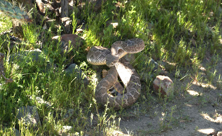
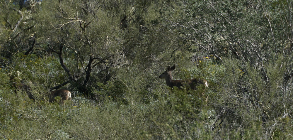
Rattlesnake on Go John Trail
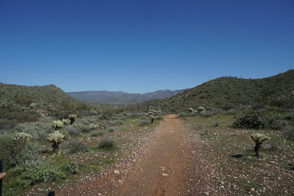
The Go John Trail was one of my favorite trails in the Cave Creek Recreational Park because the wildlife seemed more abundant on this trail. This is the only trail in the park that allowed me to see deer and a rattlesnake, so hike this 6-mile loop if you want to see more of the fauna associated with the Sonoran Desert. The trail does have a few small hills, but it’s still an easy day hike.
Slate Trail to Go John Trail Loop

The Dreaded Teddy Bear Cholla
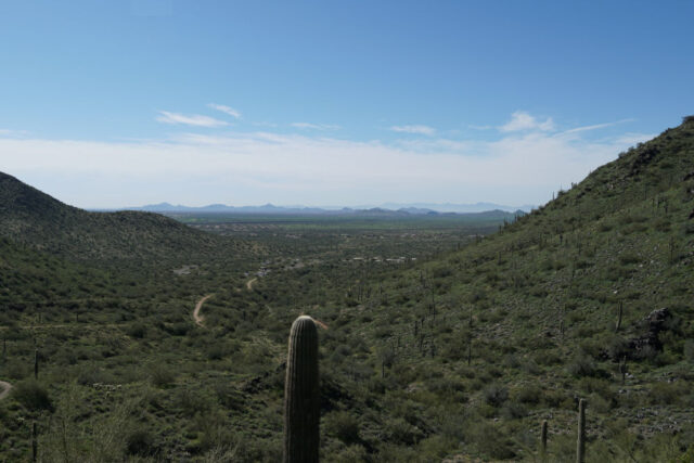
If you only have a couple of hours and want to see the diversity that Cave Creek Regional Park offers, hike this trail. It’s only 4 miles long, leading you through some of the more remote trails in the park. There are fossils to be seen in the slate outcroppings, beautiful quartz crystals shining in the mid-day sun, and an interesting guide to the flora of the Sonoran Desert. Among those is the most infamous– the teddy bear cholla.
29 May 2020