Lake Mary- Beartooth Mountains
Lake Mary- Beartooth Mountains
Lake Mary
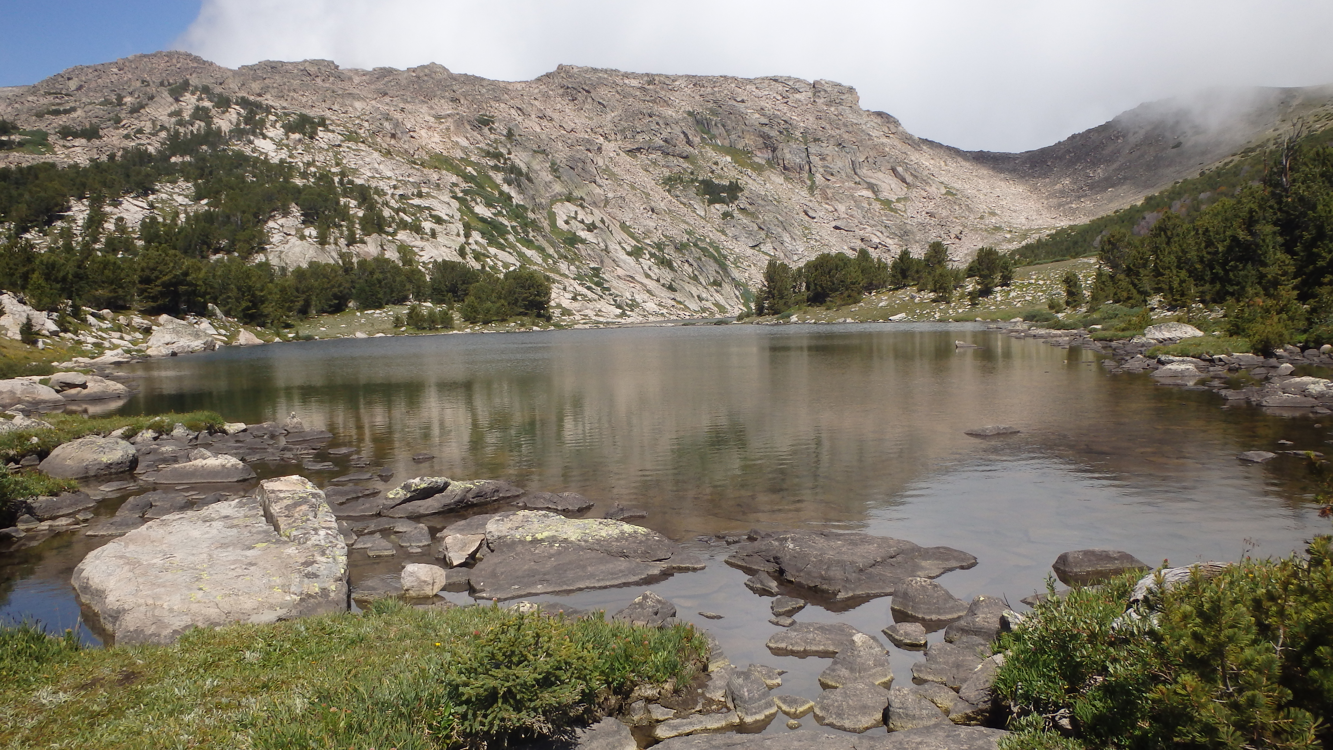
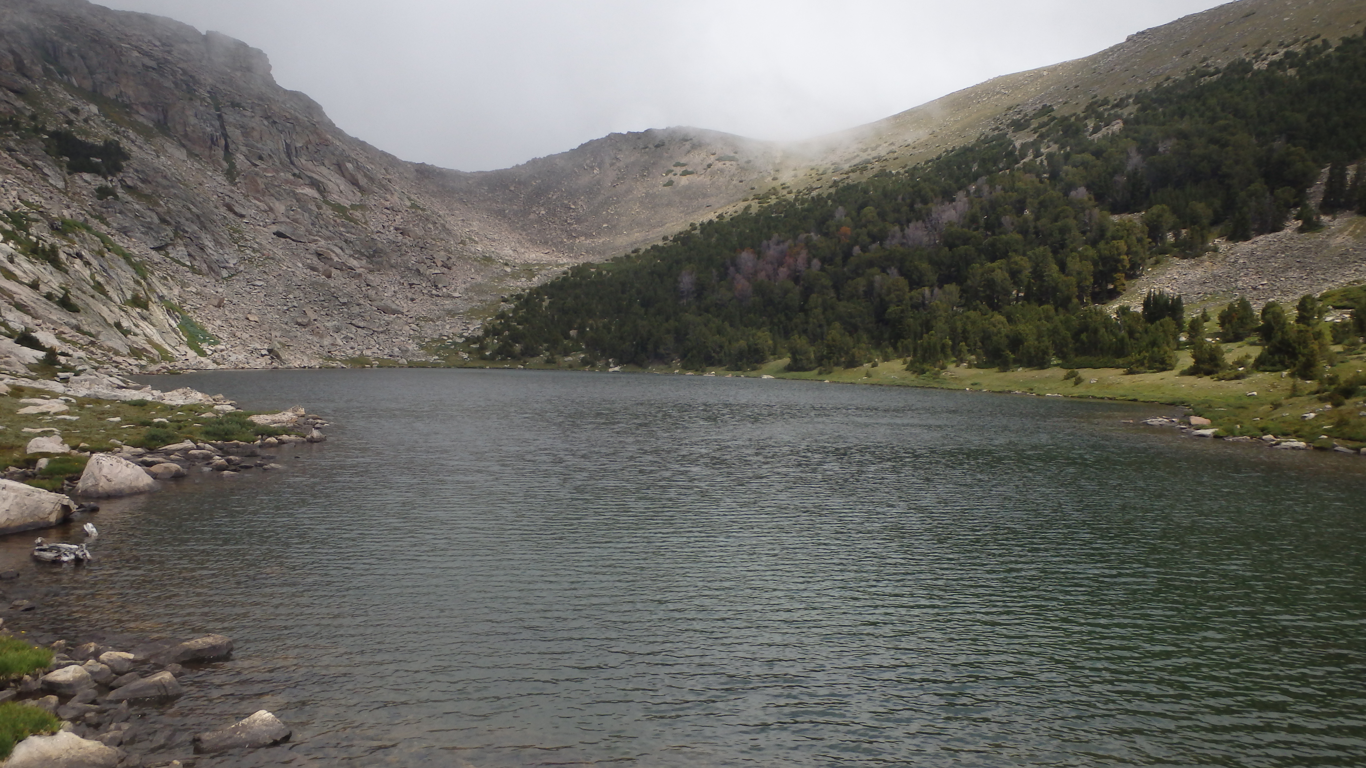
Lake Mary is an alpine lake bordered by two high mountain plateaus- The East Rosebud Plateau rising from the west, and the Red Lodge Creek Plateau rising from the east. These two plateaus give Lake Mary a “top of the world” appearance, which is aided by the scenic trail to Lake Mary. At 9,960 feet, Lake Mary certainly isn’t the top of the world, but it will feel like it on this hike. Fortunately, most of the hike won’t make you feel like you’re climbing to the top of the world.
This hike covers 6 miles, gaining a little over 2,000 feet in elevation. Hikers can expect to spend half their hike on the first 5 miles, and half their hike on the last mile to Lake Mary. From Quinnebaugh Meadows to Lake Mary, you will climb 1,200 feet in just 1 mile. A light pack is recommended, unless you enjoy fighting gravity.
This trail is easy to follow, from the trailhead to Lake Mary. The trail is well maintained, dry, and the traffic on the trail keeps it well defined. Wildflowers border the trail all the way to the meadows- please resist the urge to pick them, so they can make more wildflowers next year. Tree cover on this portion of the trail is nonexistent, due to the 2008 Cascade Fire. The lack of shade on the trail just means more sunshine for the wildflowers, which they take full advantage of.

Sentinel Falls
As you hike down Trail 1, be alert for the turn to nearby Calamity Falls, which appears after 1.3 miles. A short trail appears on your left, which takes you precariously close to the gorge beneath the falls. After this short detour, continue down the main trail. Sentinel Falls appears after another half mile. You don’t have to hike the short trail to the base of Sentinel Falls to fully appreciate this waterfall though, since the main trail leads right next to the falls.
Continuing down the trail, the wildflowers are shaded by live trees, and you enter a mature forest. This is the greatest extent of the 2008 Cascade Fire, and the rest of the hike will have ample shade. The air on this section of the trail seems much cooler, a welcome feeling on a hot summer day. At this point, you are about half way to Quinnebaugh Meadows.
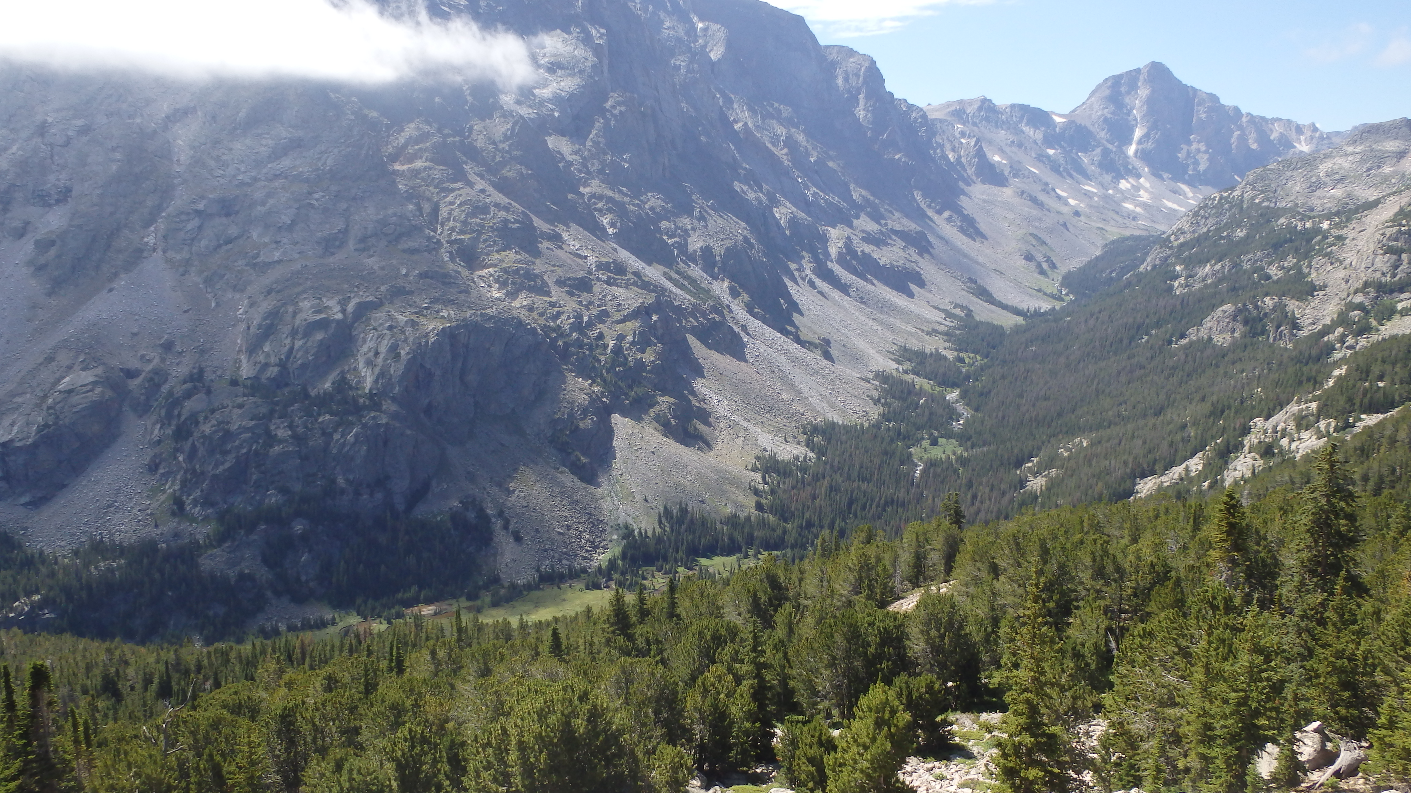
The next leg of the trail leads you by several small meadows, which are tiny compared to the expansive Quinnebaugh Meadows. Whitetail Peak appears in the distance, easily seen on this portion of the trail. At 5 miles, the turn for Lake Mary appears, leaving you with a tough choice, if you plan on camping. Many hikers drop their packs at the meadows, and hike up to Lake Mary with a daypack- which is a lot easier to hike up than with a full backpack. However, there are camping spots (with limited firewood) at Lake Mary, so many hikers choose to carry their pack to Lake Mary. Regardless of which option you choose, turn right onto Trail 1.2 to Lake Mary when you’re ready.
Whitetail Peak from Lake Mary Trail
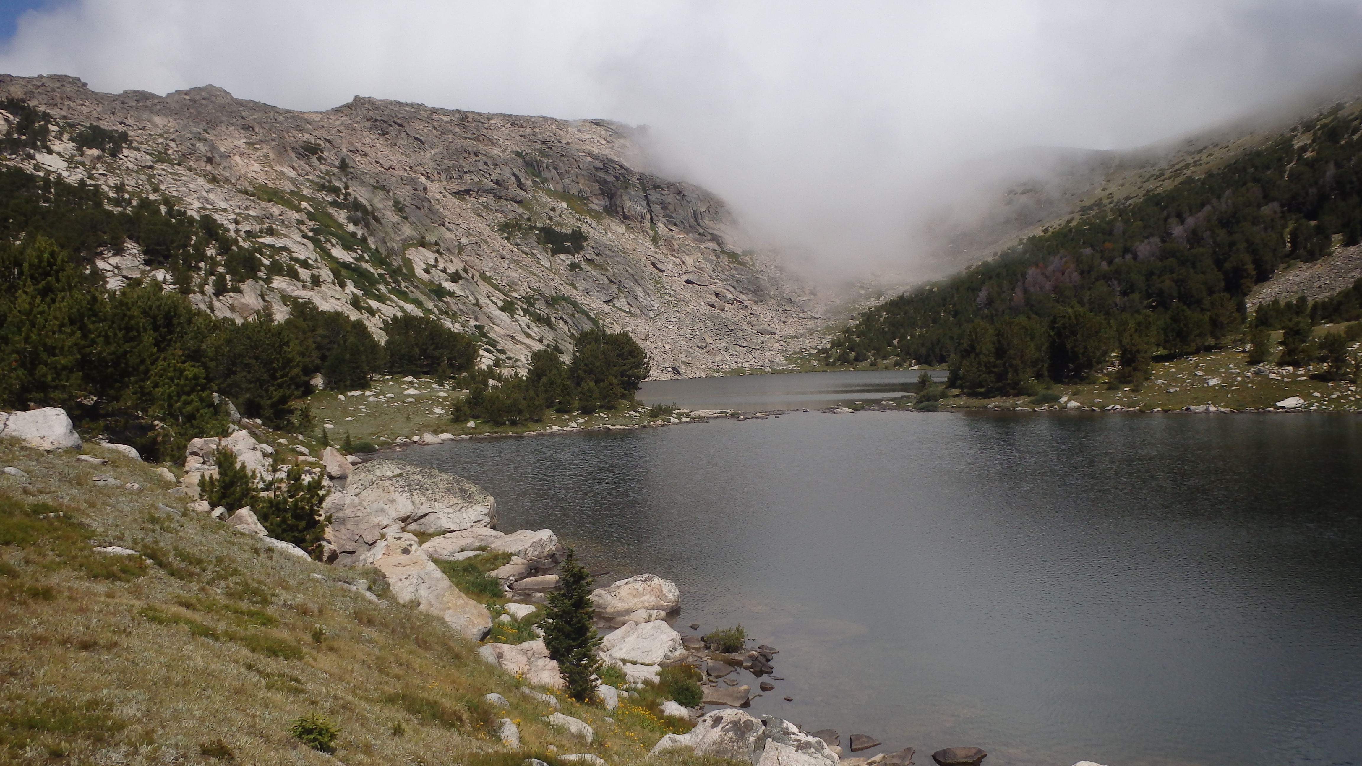
This portion of the trail starts out steep, and remains steep for 1 mile. Although that might not seem so tough, this mile will feel like three due to the elevation gain. Count on hiking half your normal pace on this last mile, but don’t worry- you’ll hike twice as fast on the way down! The trail switchbacks up over Quinnebaugh Meadows (leaving you with an excuse to take the camera out while catching your breath), and offers a beautiful view of the West Fork Rock Creek Valley, and Whitetail Peak. Continuing upwards, the trail finally breaks out of the forest for a dramatic view of Lake Mary’s outlet stream, and the valley below. Hiking another hundred yards over the hill rewards you with your prize- scenic Lake Mary. Take a break at the outlet stream, and then decide whether to walk the western or eastern shore.
Lake Mary facing South
Lake Mary is actually two lakes, and an agile person can hop across the boulders separating the two lakes. Fishing is perhaps a little better at the upper lake, while the lower lake offers more spots to rest on soft alpine grass. As you face north, you can see the saddle between the two plateaus above, and facing south you can appreciate the sharp drop just past Lake Mary into the valley below.
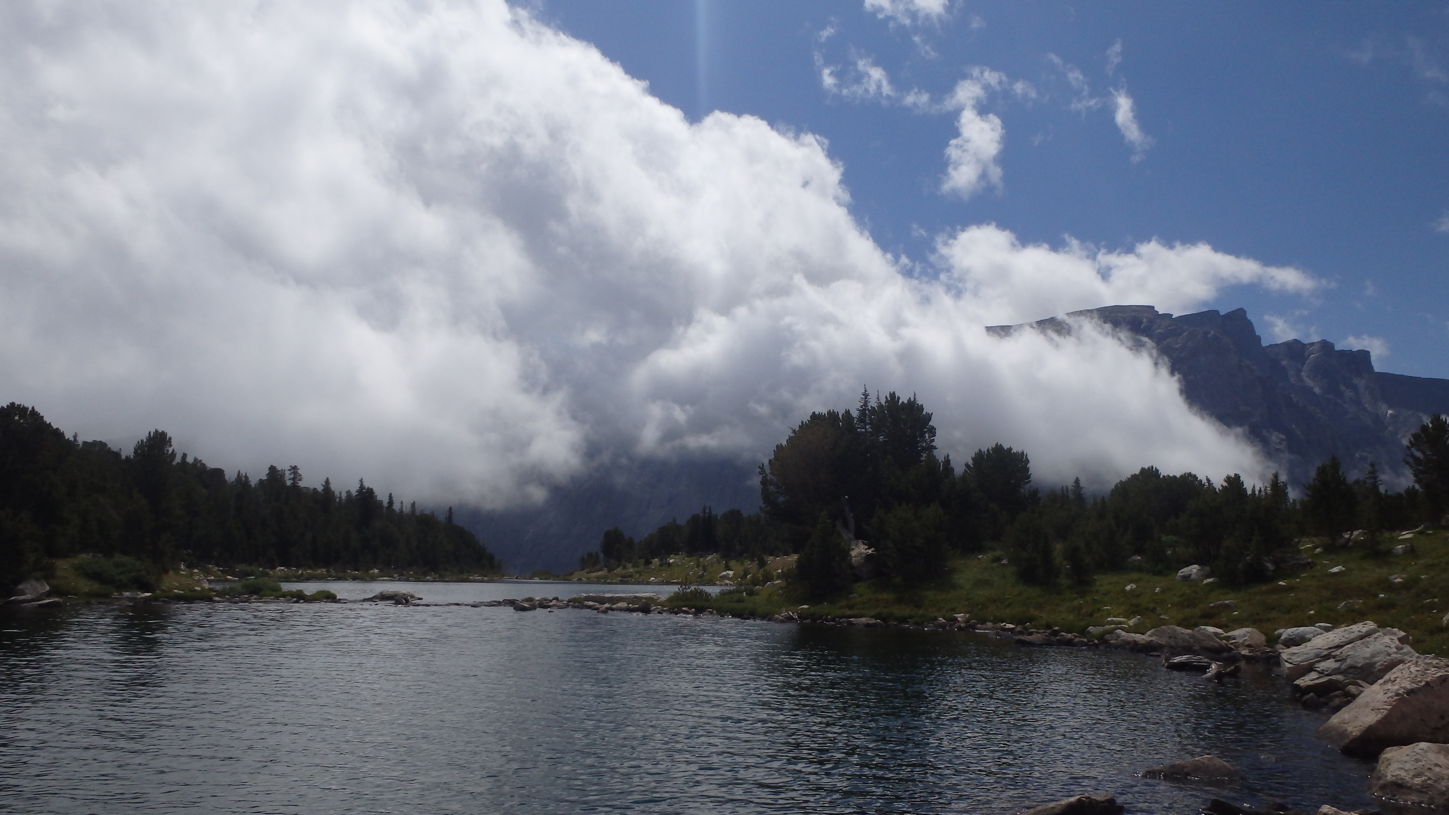
When you have had your fill of fishing, camping, or relaxing, head back down to the trailhead. Hopefully, storm clouds won’t be chasing you- the Beartooth Mountains are known for their sudden storms, and this section in particular receives the lion’s share. Make sure to pack a good rain jacket in your pack- you’ll likely need it.
Pictures of Lake Mary, and the Trail
 Lake Mary |
 Quinnebaugh Meadows |
 Lake Mary facing North |
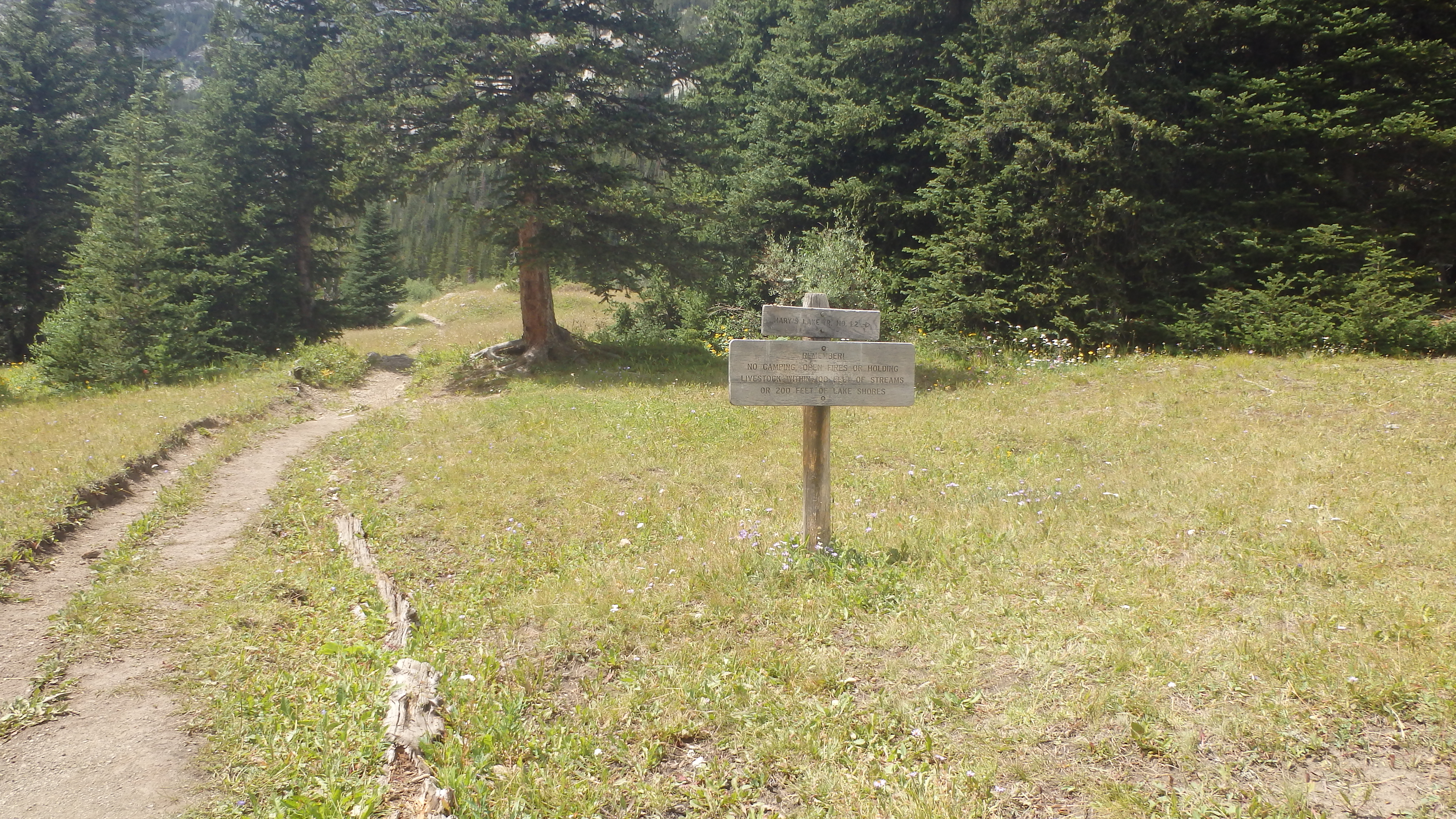 Forest Service Trail 1.2 to Lake Mary |
Directions to the Trailhead
Just outside Red Lodge, turn right onto West Fork Road (FR71). Follow this road for 12.8 miles, and arrive at the trailhead (and end of the road).
