Calamity and Sentinel Falls- Beartooth Mountains
Calamity and Sentinel Falls- Beartooth Mountains
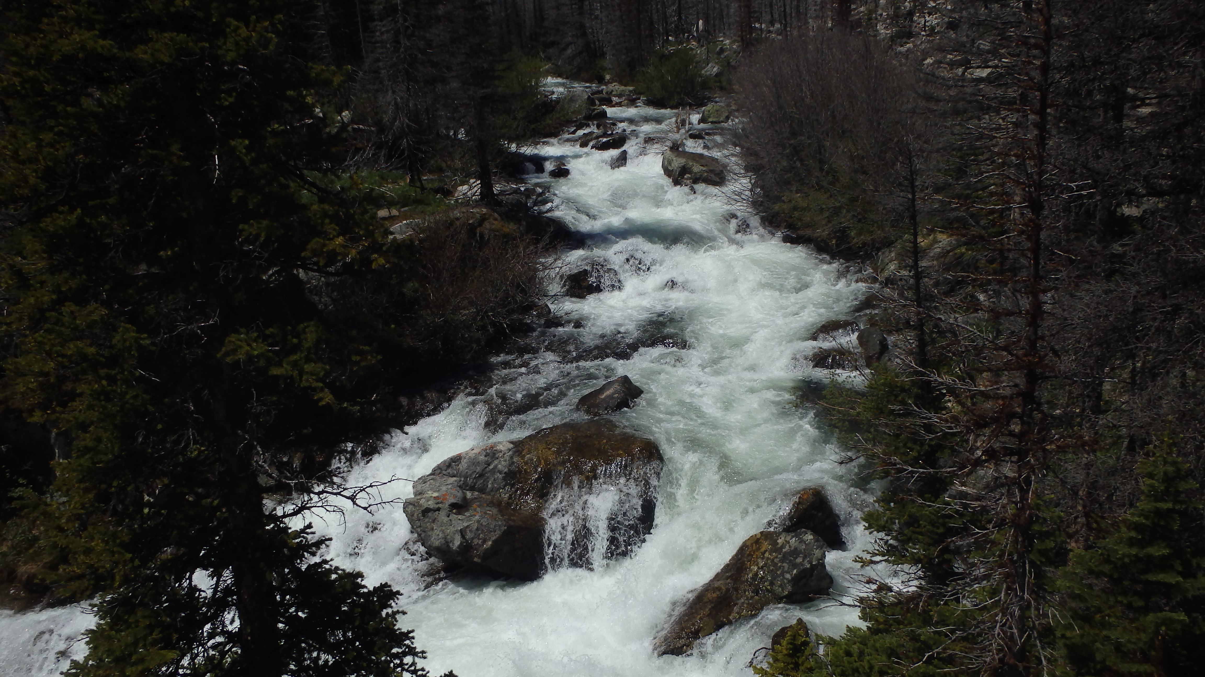
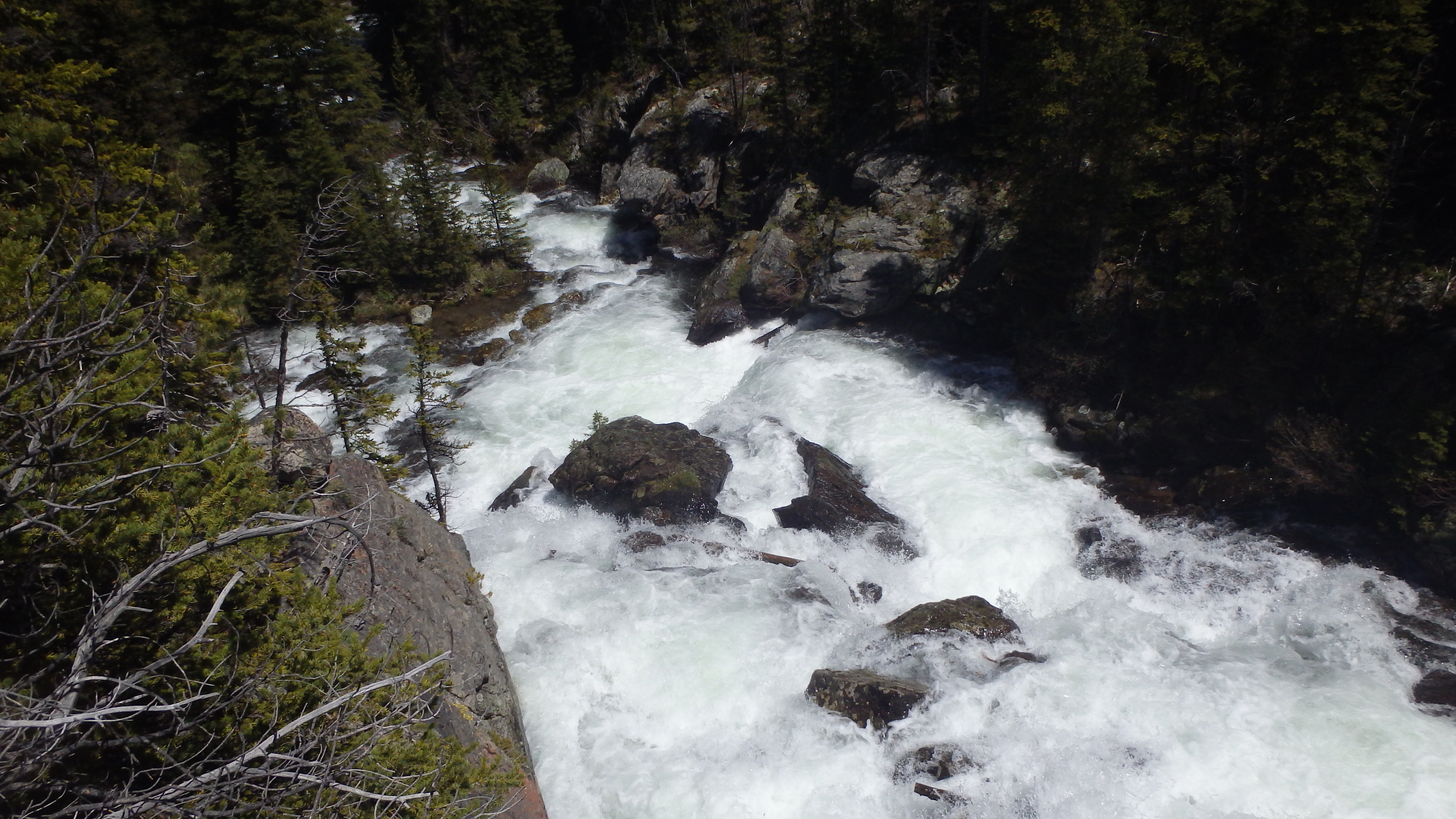
Calamity Falls
If you’re looking for a short day hike that allows you to see two spectacular waterfalls, look no further than Calamity Falls and Sentinel Falls. These two waterfalls are located a short distance from Red Lodge, making them a perfect short day hike. This hike is only 3.6 miles long, and gains only 511 feet, making it a good first wilderness hike for young hikers. The trail begins on the north side of the trailhead parking lot, which is clearly marked.
This is a well maintained trail, which you will notice immediately as you head down the trail. This trail is very popular in the Red Lodge area, and many boots have worn a nice trail. Try and do a good deed here, and pick up any trash that you might see on the trail. Although this trail is well groomed, it’s heavy use makes cleanup harder for the forest service. It only takes a little garbage to ruin the pristine appearance of the wilderness, which is reached after the first quarter mile of the trail.
Calamity Falls
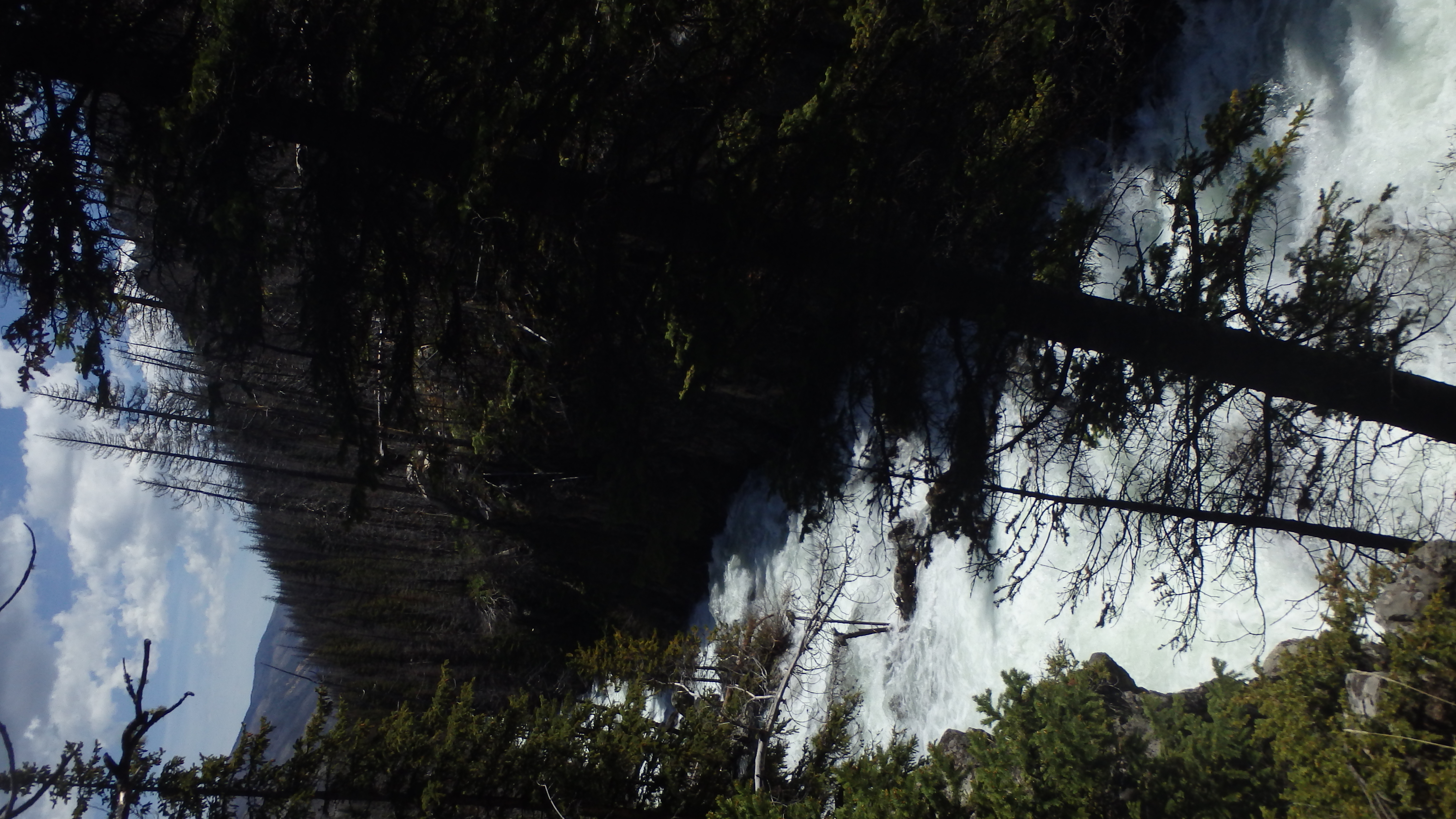
From here, the trail heads through burned forest and rocks to the two waterfalls. The trail paralells Rock Creek for most of the time, adding to the beautiful scenery in this valley. The first waterfall, encountered at 1.3 miles, is Calamity Falls. The turn for this waterfall is not signed, but is fairly clear (and you can hear the waterfall thundering from the trail). Hike a hundred yards on this side trail to get a better look at the falls. This waterfall is impressive, as the waterfall funnels into a small gorge before turning into rapids below. It’s also a great spot to have lunch, the large boulders make great chairs for little hikers.
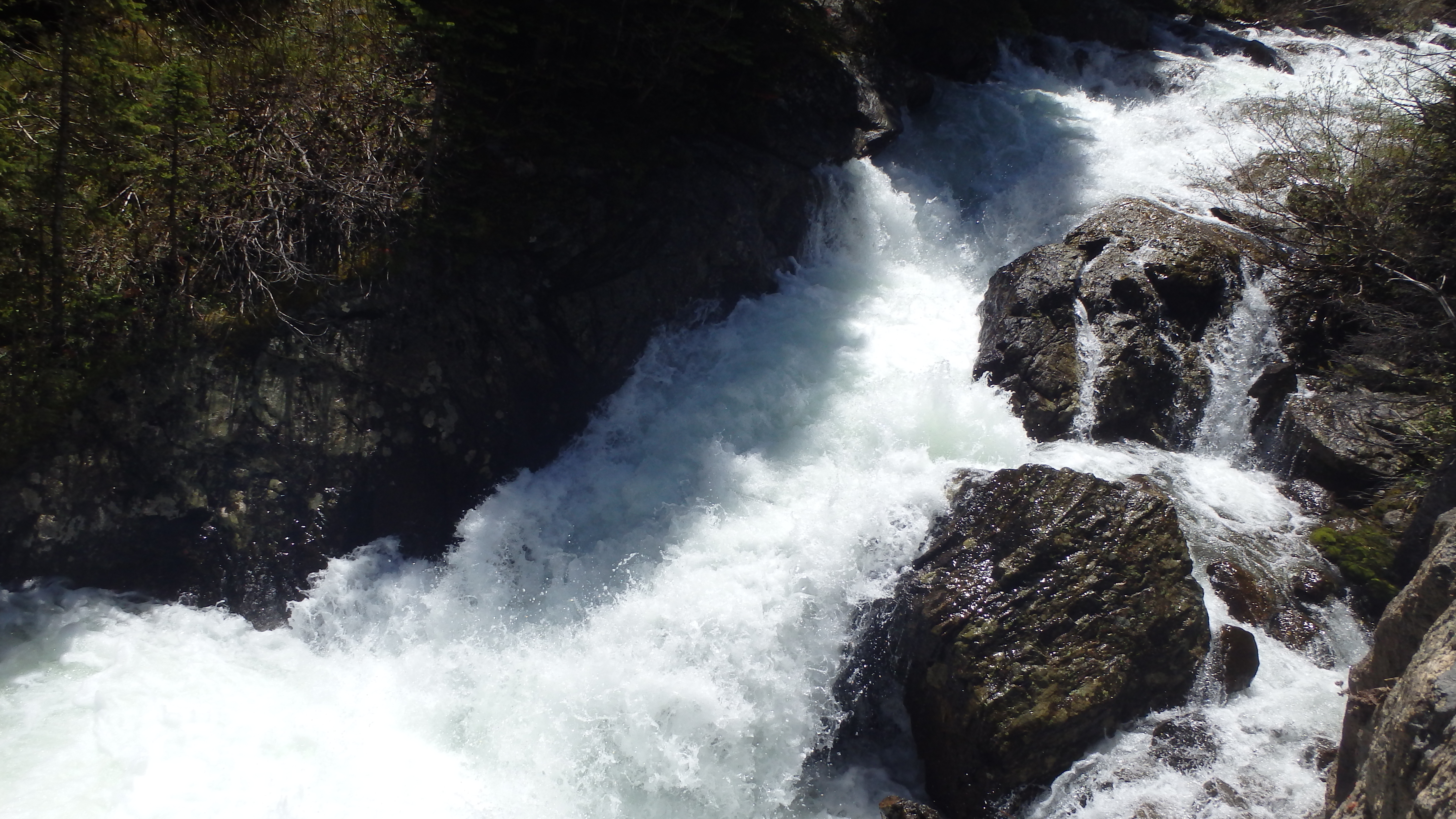
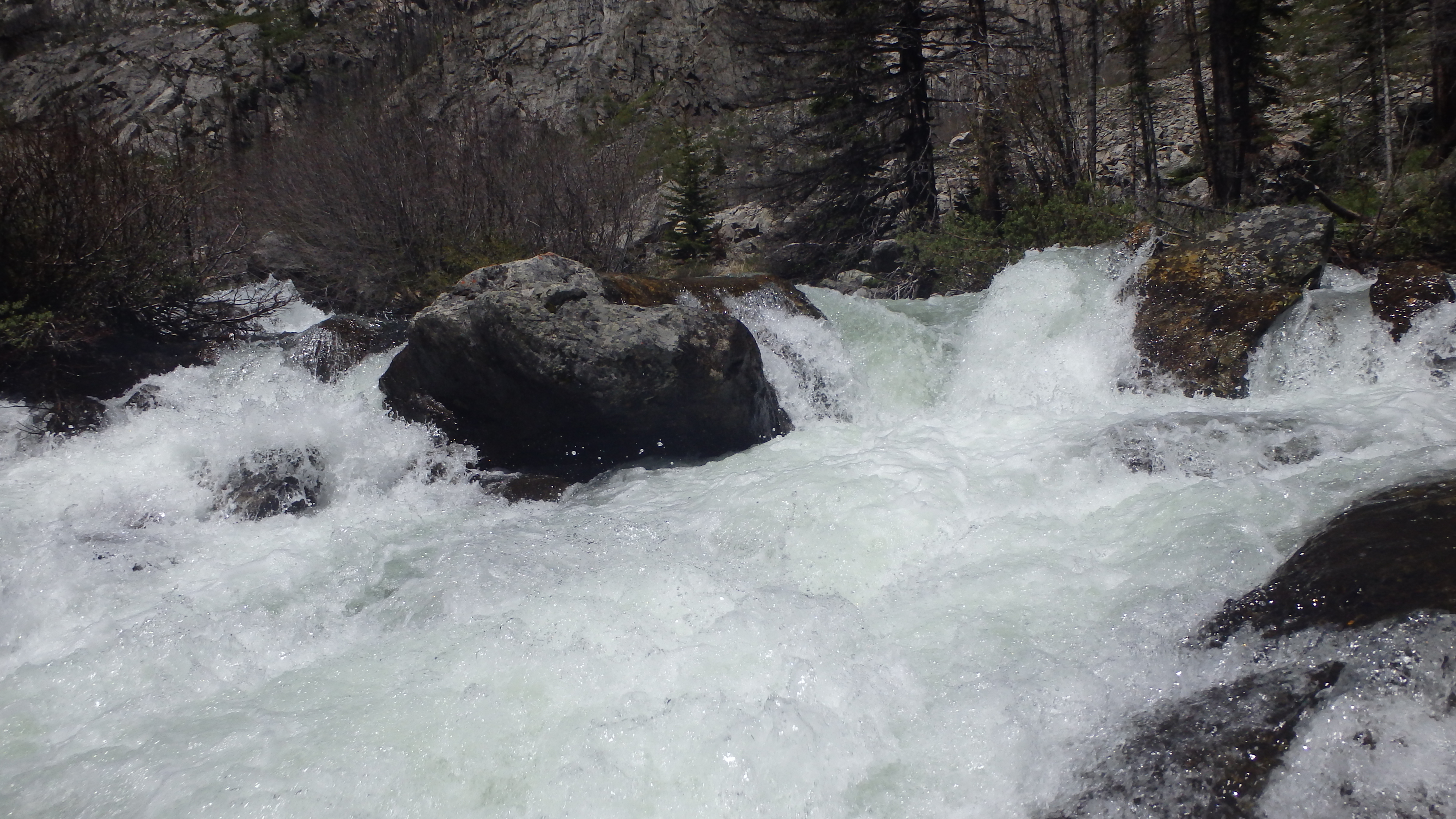
Sentinel Falls
Once you’ve had your fill of Calamity Falls, continue down the trail for another half mile to Sentinel Falls. Unlike Calamity Falls, the trail leads right up to Sentinel Falls, where you can get a great view of the falls. If you prefer to see the falls from the base up, there is a faint side trail that heads to the base of the falls, just before you hike uphill to the falls. Sentinel Falls is an impressive sight, and one that makes even the most hurried hiker pause for a minute or two before continuing down the trail. From here, you can head back to your vehicle at the trailhead via the way that you came, or you can continue along this trail to Quinnebaugh Meadows.
Pictures of Calamity and Sentinel Falls
|
Sentinel Falls |
 Calamity Falls |
 Sentinel Falls |
 Calamity Falls |
Directions to the Trailhead
Just outside Red Lodge, turn right onto West Fork Road (FR71). Follow this road for 12.8 miles, and arrive at the trailhead (and end of the road).
