Curl Lake- Beartooth Mountains
Curl Lake
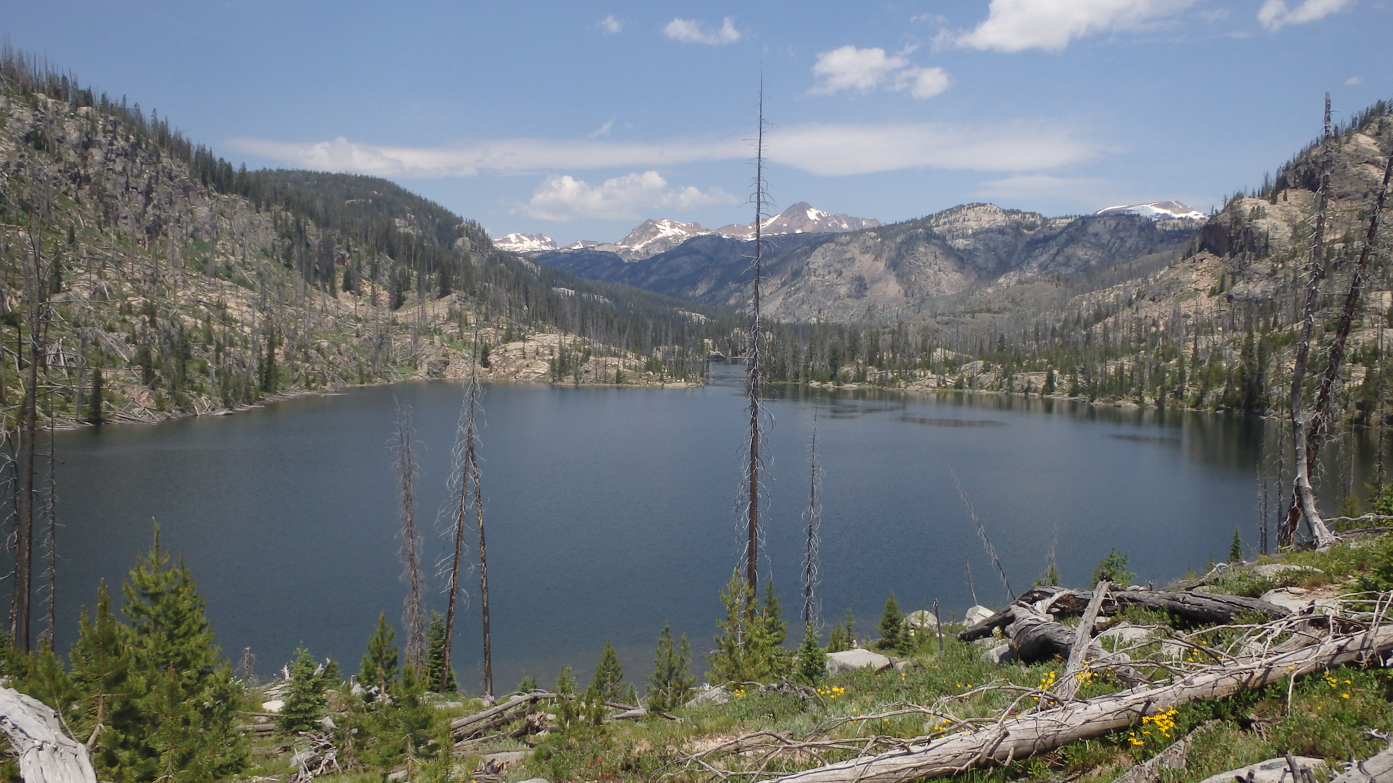
Curl Lake
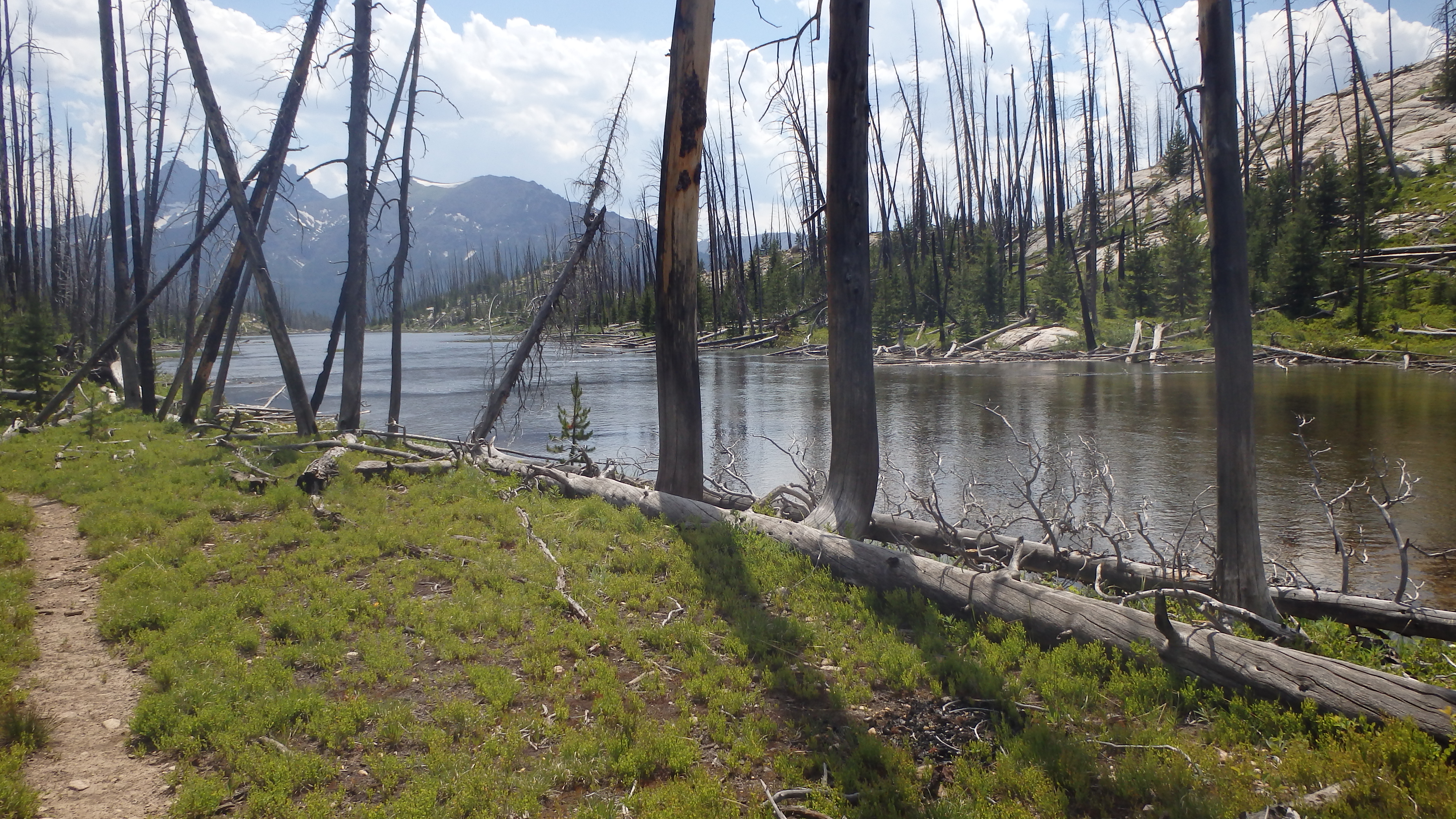
Curl Lake, located in the Beartooth Mountains, is an interesting lake. Curl Lake blurs the definition between lake and river (it’s neighbor Broadwater Lake is technically the same lake), and the trail is an adventure in itself. The trail passes by two major bodies of water (Kersey Lake and Broadwater Meadow Lakes), making it a messy swamp early in the year. A couple of months later (mid summer), the mosquitoes are out in full force- making Curl Lake a good late summer hike. Curl Lake does make up for this by providing fishing, and an absolutely gorgeous view.
When preparing for this hike, a map/compass or GPS should be considered required gear. The trail is hard to find in places, and while route finding is very easy on this trail, the hiking is easier if you stay on the trail. Losing the trail early on can mean navigating around wet marshes, tall hills, and steep cliffs. It’s much easier to carry a compass/GPS, and avoid losing the trail entirely.

Bridge over the Clarks Fork Yellowstone River.
Starting out from the trailhead, you will pass one of my favorite spots on this trail- a bridge over the Clarks Fork Yellowstone River. Resisting the urge to spend all day at this scenic gorge, you will cross this bridge, and arrive on the other side of the river. Continuing along, the trail will intersect with Kersey Lake Trail. This jeep road is a double track trail, and is very easy to follow. Turn onto this trail, which parallels the Clarks Fork Trail for a few hundred feet. Now, the Kersey Lake Trail turns north, separating from the Clarks Fork Trail, and arriving at a small creek.
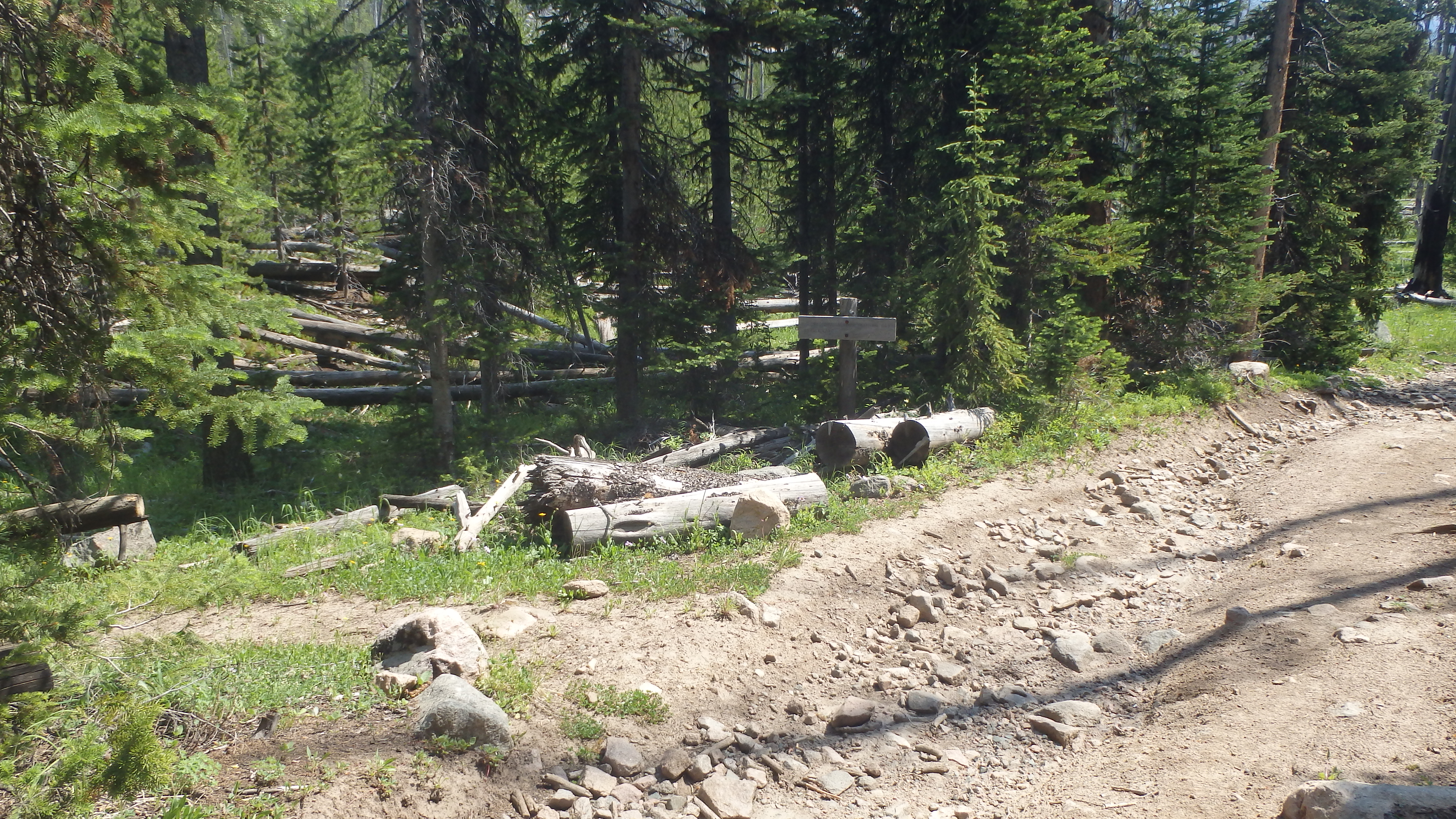
Turn for Broadwater River Trail
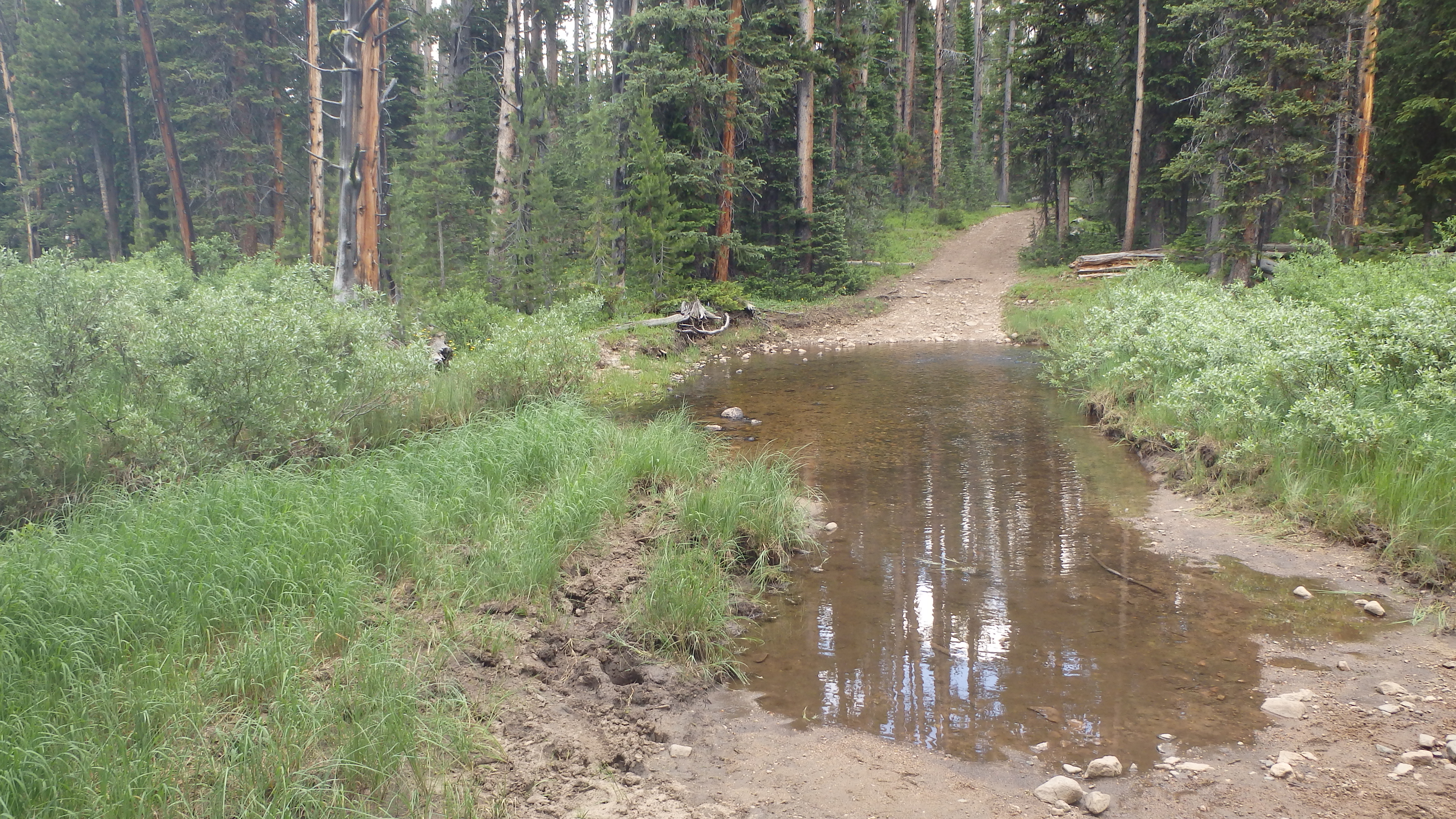
Crossing this creek will vary greatly in difficulty. Early in the year, the creek flows quickly, and there are few logs to cross on. Later in the year, however, the creek slows considerably, and many logs are available. Cross this creek, and the trail starts to head uphill. This grade continues until the turn for Broadwater River Trail 564 appears on the left, after approximately 1.5 miles from the trailhead. Turn left, and continue along this trail.
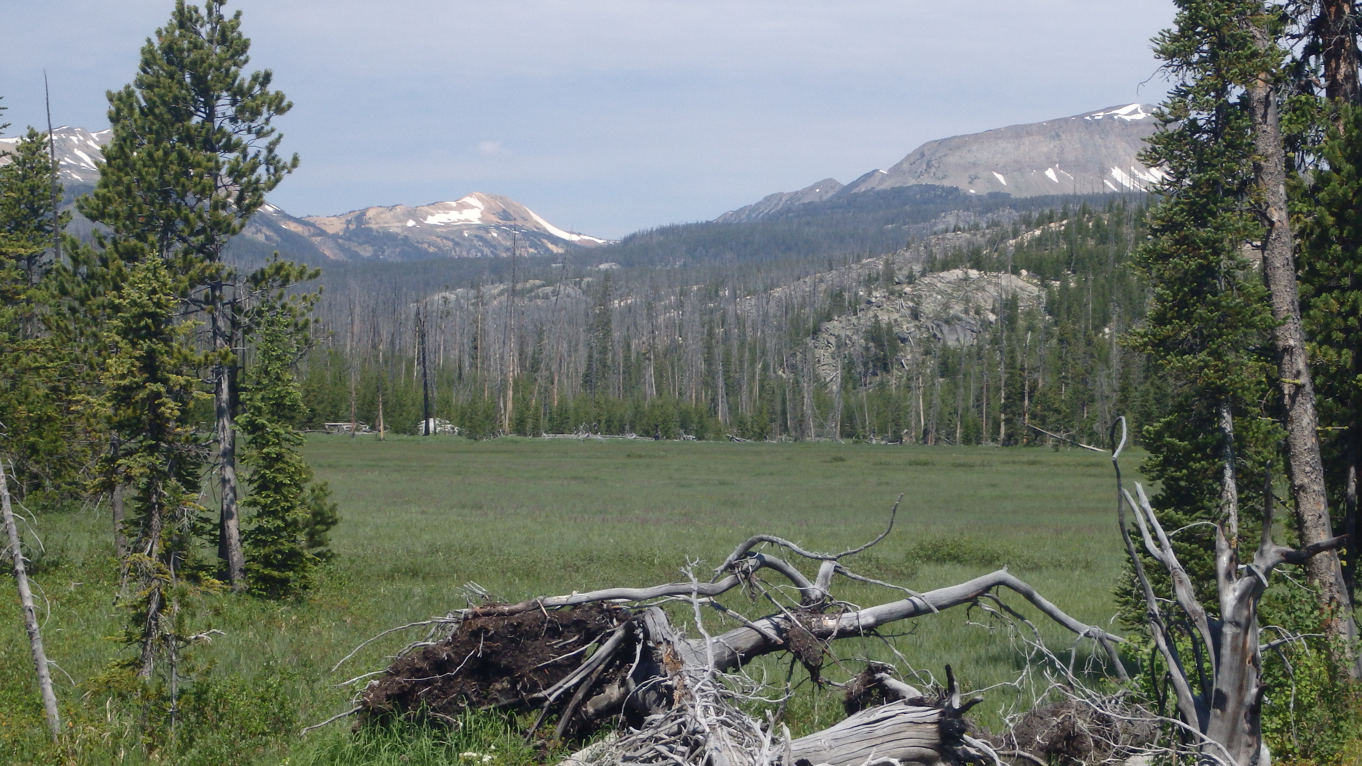
Hiking down the trail, the second obstacle appears- a marshy area. It’s difficult to keep your feet dry on this portion of the trail, but not impossible. As you’re hiking around, be sure to keep an eye out for wildlife- you may spot a deer or moose in the meadows along this section of the trail. Once you have cleared the meadows, the trail grade increases, and you hike up a short hill to the Broadwater Meadow Lakes.
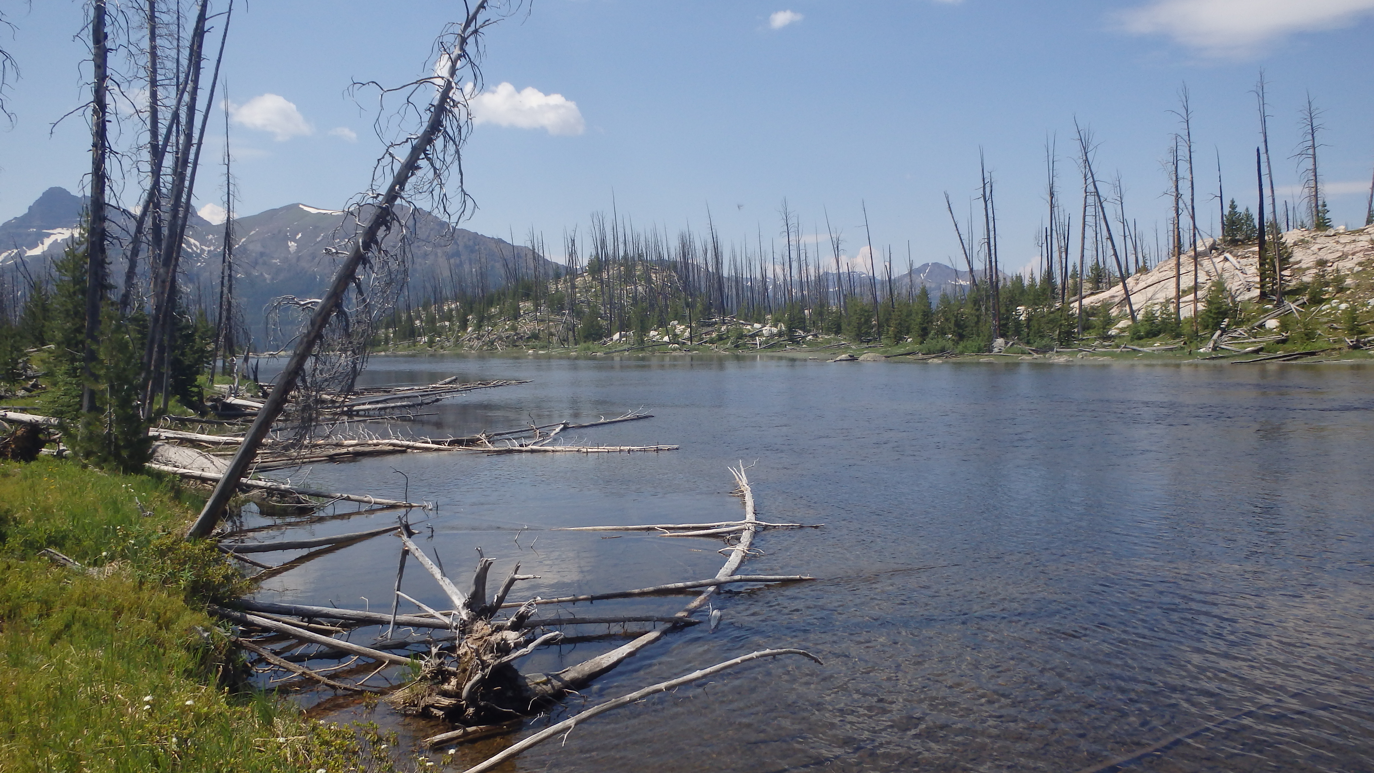
Broadwater Meadow Lakes
The Broadwater Meadow Lakes are actually much like Curl Lake and Broadwater Lake- just a wide spot in the Broadwater River. It’s easy to see why the Broadwater River was named as such- this spot in the river is over 100 feet wide, and moves very slowly. This is a great spot to sit and have lunch while watching the many birds in the area, but a poor spot to fish.
Heading up the trail, the grade increases one final time, reaching the highest point on this hike- 8,488 feet. From here, you can see your destination- beautiful Curl Lake. Caution should be used on this portion of the trail, as it’s extremely difficult to keep on the trail. Bare rock, downed trees, and a lack of cairns make this section of the trail the hardest to follow. On the bright side, you have line of sight to your destination, so it’s hard to get lost on this section of the trail. If you do decide to leave the trail, make a mental note of where the trail is, so you can rejoin it on the hike back.
While at Curl Lake, an abundance of activities await. Fishing, wildlife photography, climbing, swimming, or rock hounding are all possible here. If you have more energy after arriving at Curl Lake, you can cross Sodalite Creek and hike to Broadwater Lake. If none of these activities seem to interest you at Curl Lake, there are also many flat rocks that you can enjoy an afternoon nap on.
Once you have spent the afternoon at Curl Lake, you can head back the way that you came. If you have difficulty finding the trail, hike uphill towards the inlet and you’ll eventually find it. A nice feature of this trail is that the hill by Curl Lake guides you towards the trail, making it easy to find the trail at this point. As you head back to civilization, remember to tread lightly on this trail. It receives little use, which helps keep it’s wild appearance. Do a good deed as you hike on this trail, and pick up any trash that you might see along the way. The wilderness (and it’s many hikers) thank you.
Pictures of Curl Lake, and the Trail
|
Curl Lake |
 Curl Lake |
 Broadwater Meadow Lakes |
 Stream on Trail |
 Meadow |
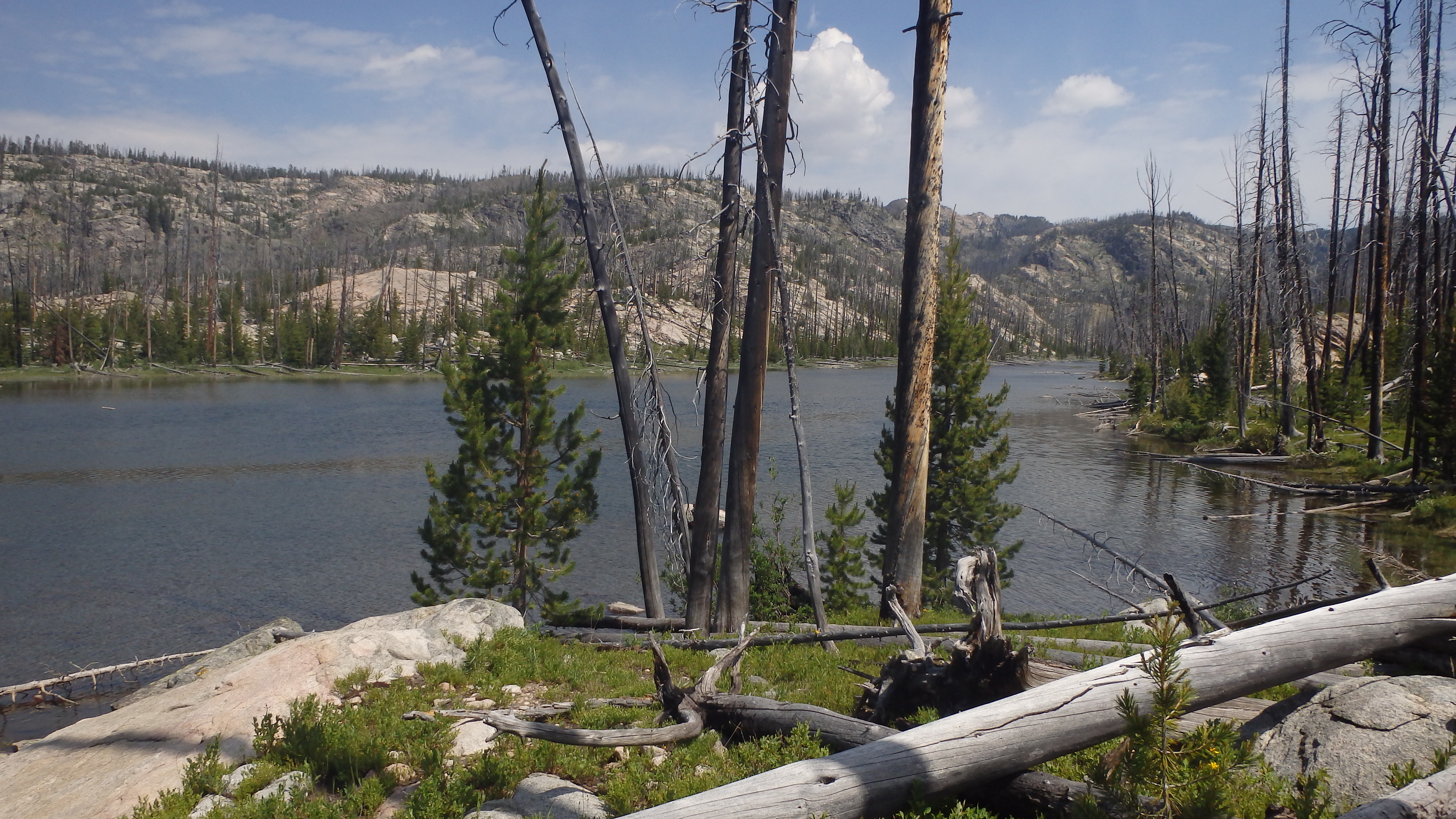
 Trail Near Broadwater River |
Directions to the Trailhead
From Red Lodge, drive on Highway 212 for 58.1 miles, or from Cooke City drive 3.4 miles to the well signed Clarks Fork Trailhead.
