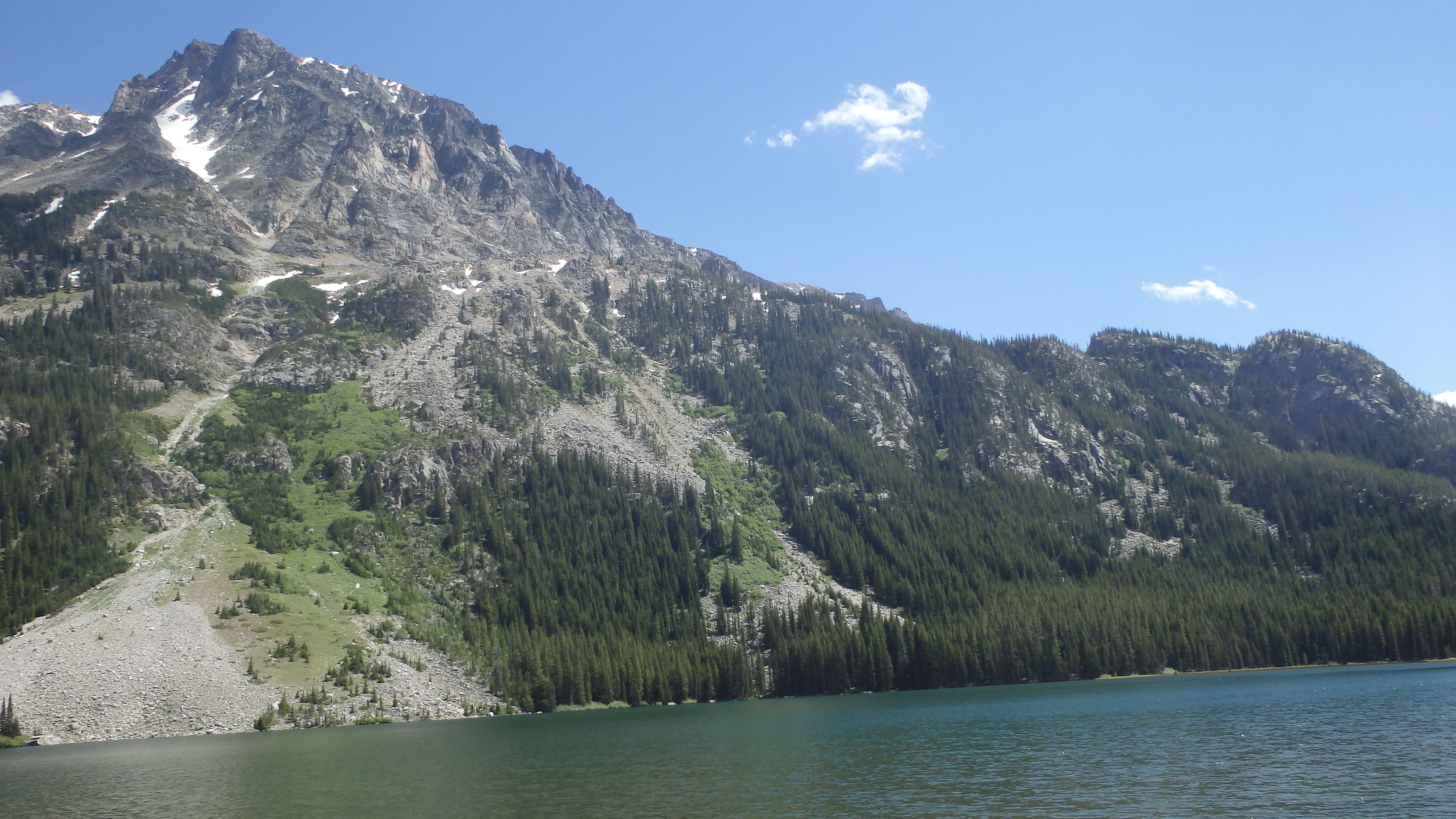
Silver Lake- Beartooth Mountains
Silver Lake
Silver Lake
There are some hikes where the trail itself is more interesting than the destination. Silver Lake is much like that- the official trail ends 2.5 miles from the lake, and the rest of the trail is maintained only by hikers such as yourself. This trail leads through a remote section of the Absaroka-Beartooth Wilderness, while passing two popular lakes along the way.
This hike has something for everyone- fishing, wildlife photography opportunities, and swimming (some of it non-intentional). It also offers the opportunity to lose the trail in several places, one of my favorite features of this trail. This trail is easy to follow for the first six miles, but the remaining 2.5 miles are anything but easy.
The hike starts on West Rosebud Trail 19, located at the West Rosebud Trailhead. Walk 200 yards from the parking lot, walking past the cottages used by the Northwestern Energy employees that operate the Mystic Lake Dam. One of the opportunities of this hike is the ability to learn about the Mystic Lake Dam, via the plaque at the beginning of the trail. Heading uphill, the trail enters forest while running along West Rosebud Creek.
Crossing a sturdy bridge over the West Rosebud River, the trail continues through the forest, gaining elevation steadily. After about two miles, the forest gives way to a large rock field. This part of the trail is dry, hot, and downright miserable on a warm afternoon. Do yourself a favor, and hike this part of the trail in the morning or evening. This rock field does offer great views of both the West Rosebud Valley, as well as the Mystic Lake Dam pipeline. After three miles of hiking, Mystic Lake appears.
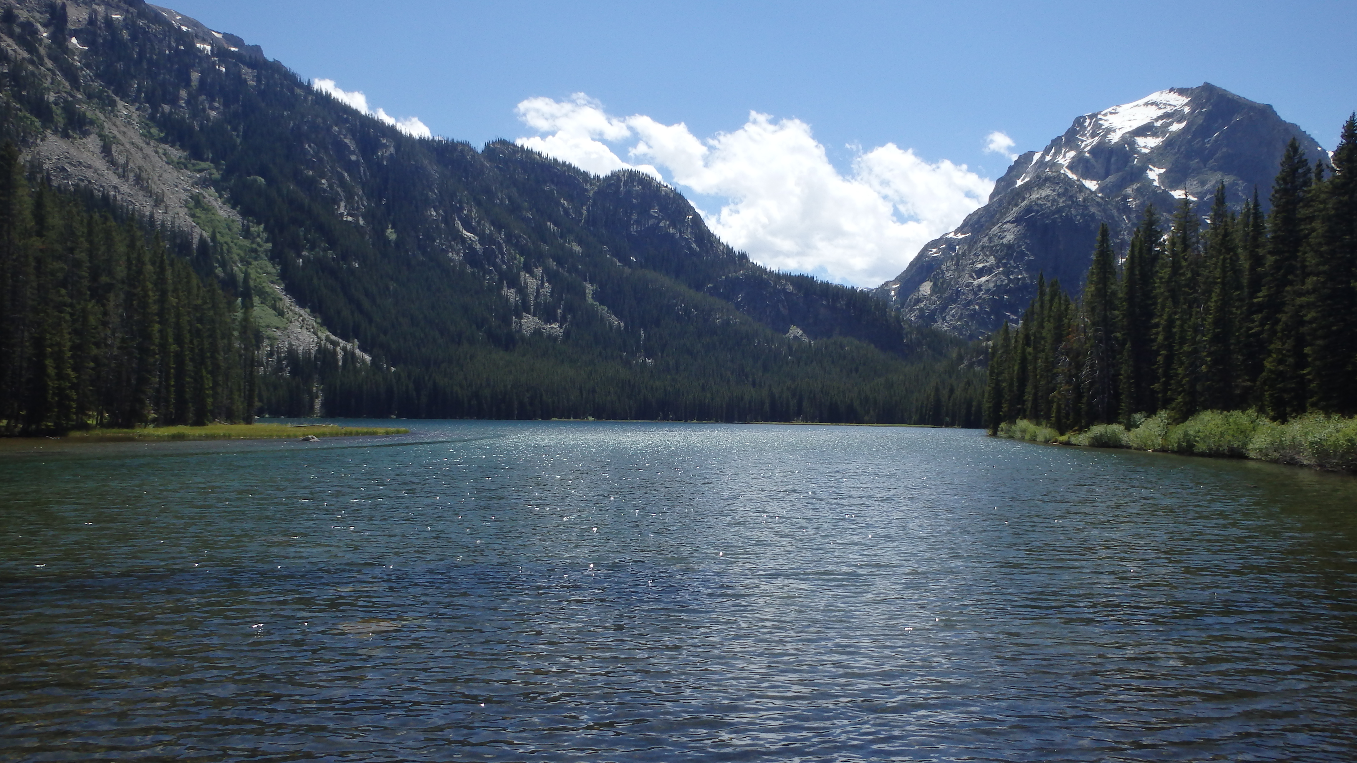
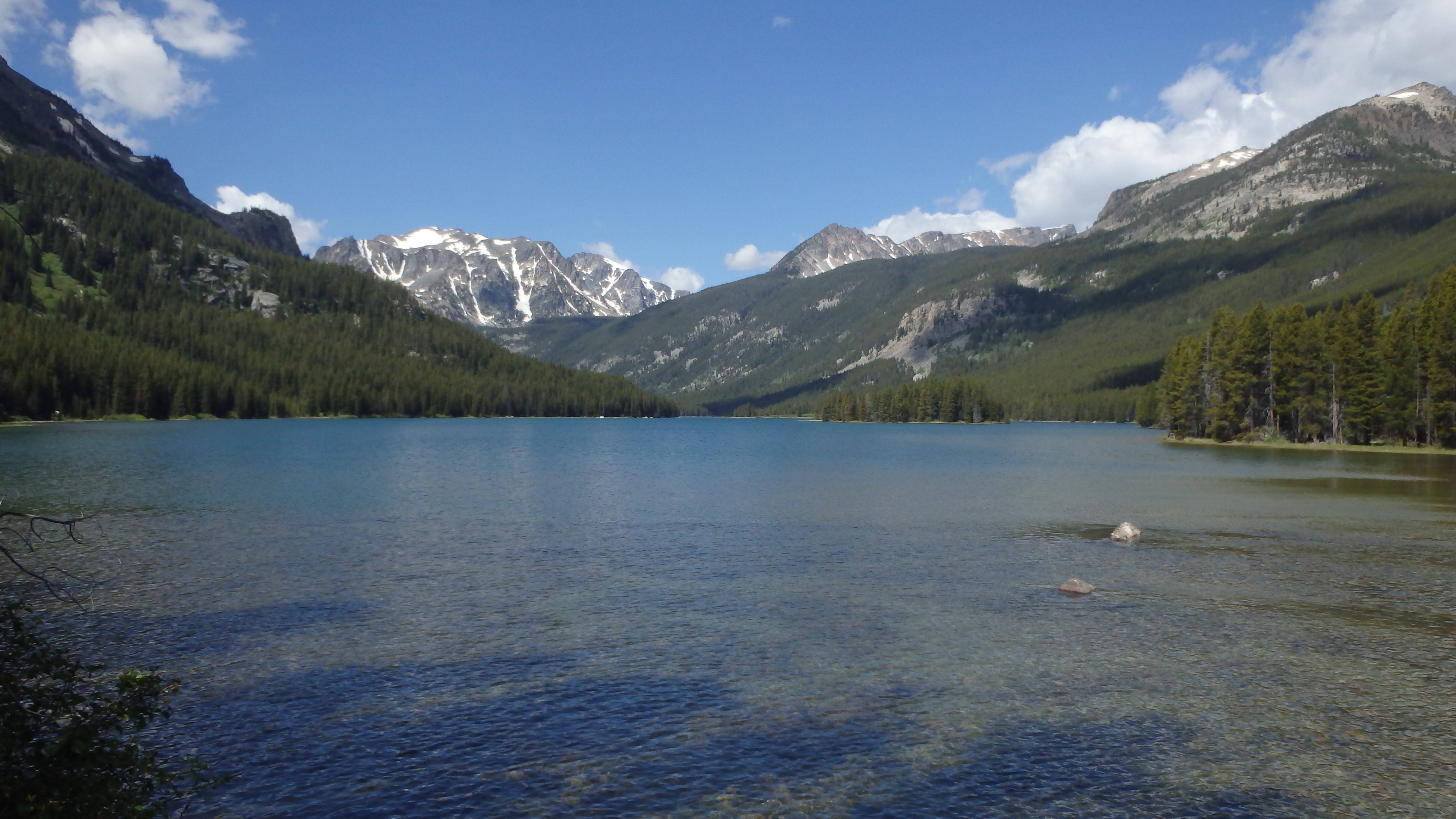
Mystic Lake
The overlook here is breathtaking- it offers a scenic view of nearby Froze to Death Mountain, and of Mystic Lake. I like to stop at this overlook, and watch as the wind creates small waves on Mystic Lake’s surface. Mystic Lake is the largest lake in the Beartooths, which you’ll appreciate of over the next three miles of trail, which follows Mystic Lake’s shoreline.
The first half mile of this next section involves hiking past tents, and well used campgrounds. Resist the urge to camp here if you’re planning on camping, and instead camp further down the trail. The camp sites here receive heavy use, while the camp sites at the far end of Mystic (or Island Lake) receive very little use.
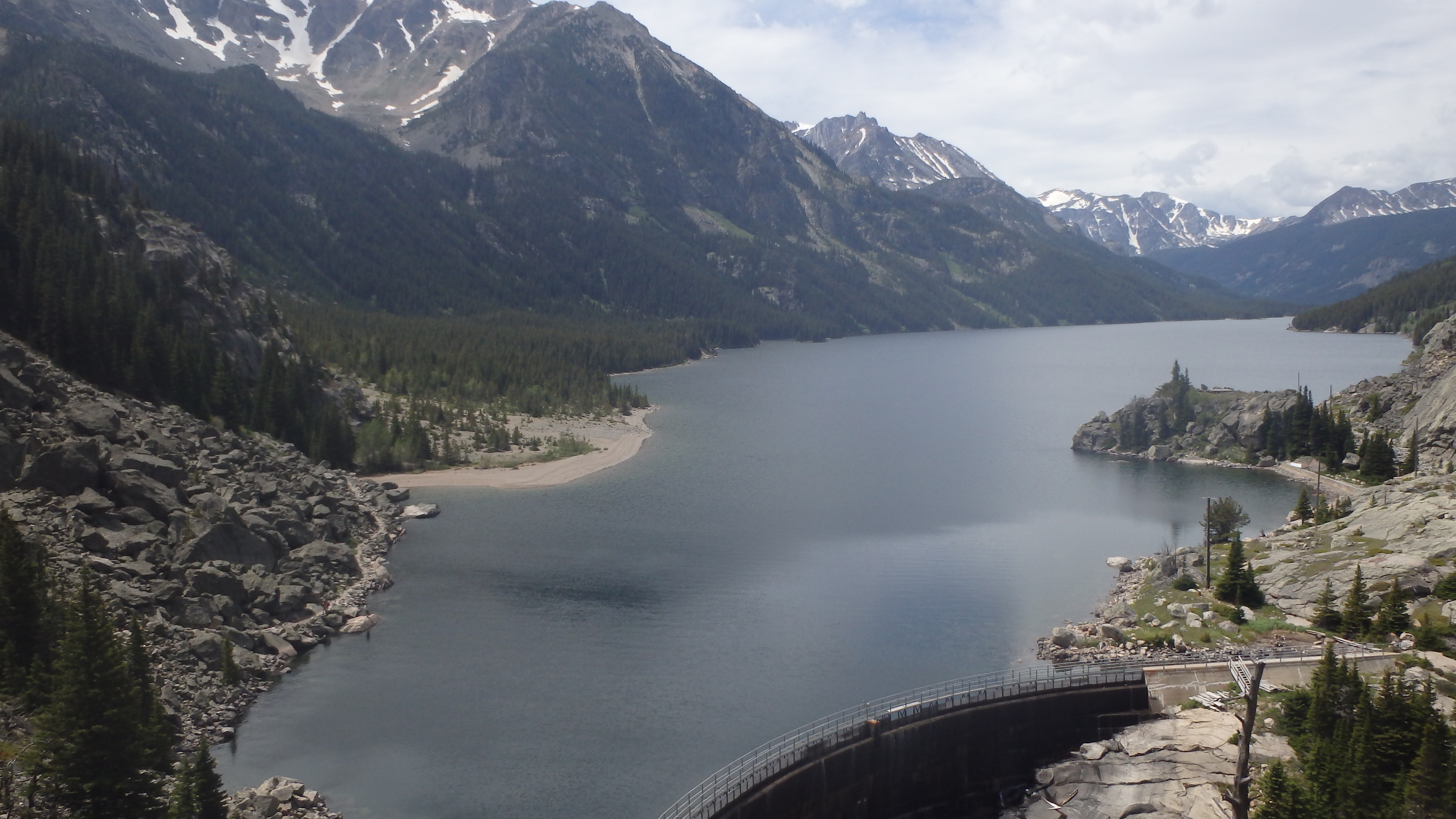
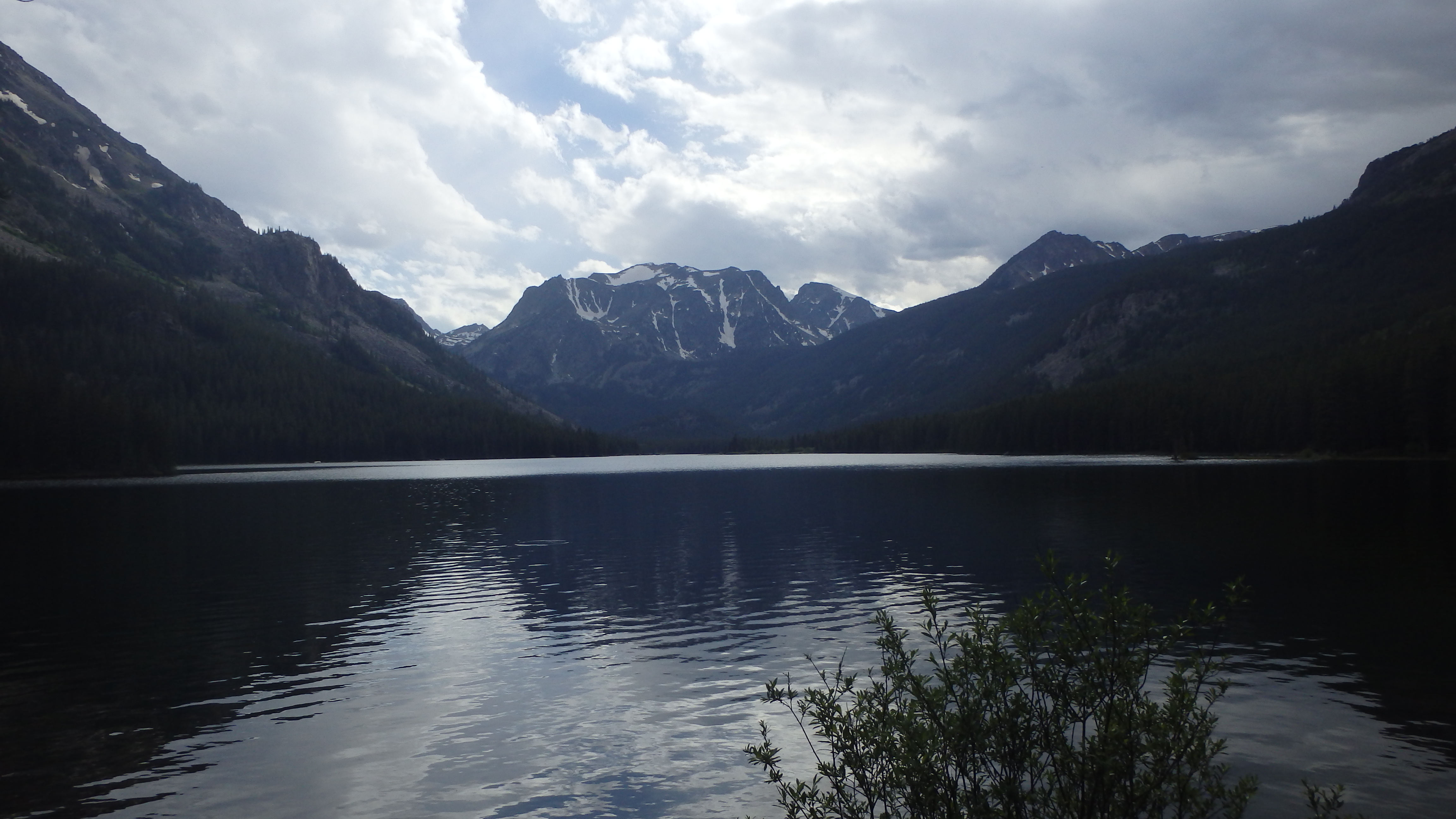
There are several small stream crossings along this section of the trail, but you can easily cross on logs or rocks. Early in the season, these streams are larger, but you can still cross without wading. This section does gain a little elevation, but the elevation is lost at the end of the three miles. At six miles from the trailhead, you reach the end of the West Rosebud Trail, and arrive at the shore of Island Lake. Here is your first major obstacle on the trail.

Island Lake Outlet
To reach the trail to Silver Lake, you need to cross the West Rosebud Creek. This is a fast creek, that is difficult to cross in many places. Thankfully, the forest has helped you out some by creating a natural logjam at the outlet of Island Lake. If you take your time, you can cross this logjam with good balance, and a little effort. If you have time to stop, the fishing on the other side of the log jam is excellent. In addition to the makeshift bridge, this logjam also serves as a shelter for 12″ and larger trout.
Once you have reached the other side of Island Lake, the trail is faint to follow. A myriad of side trails split from the main trail, and then meet back up again, making staying on the trail difficult in places. Keep heading west, and parallel to Island Lake’s shore, and you will eventually find the main trail, should you lose it. The fishing is also good on this side of Island Lake- concentrate on the deeper water and you won’t be disappointed.
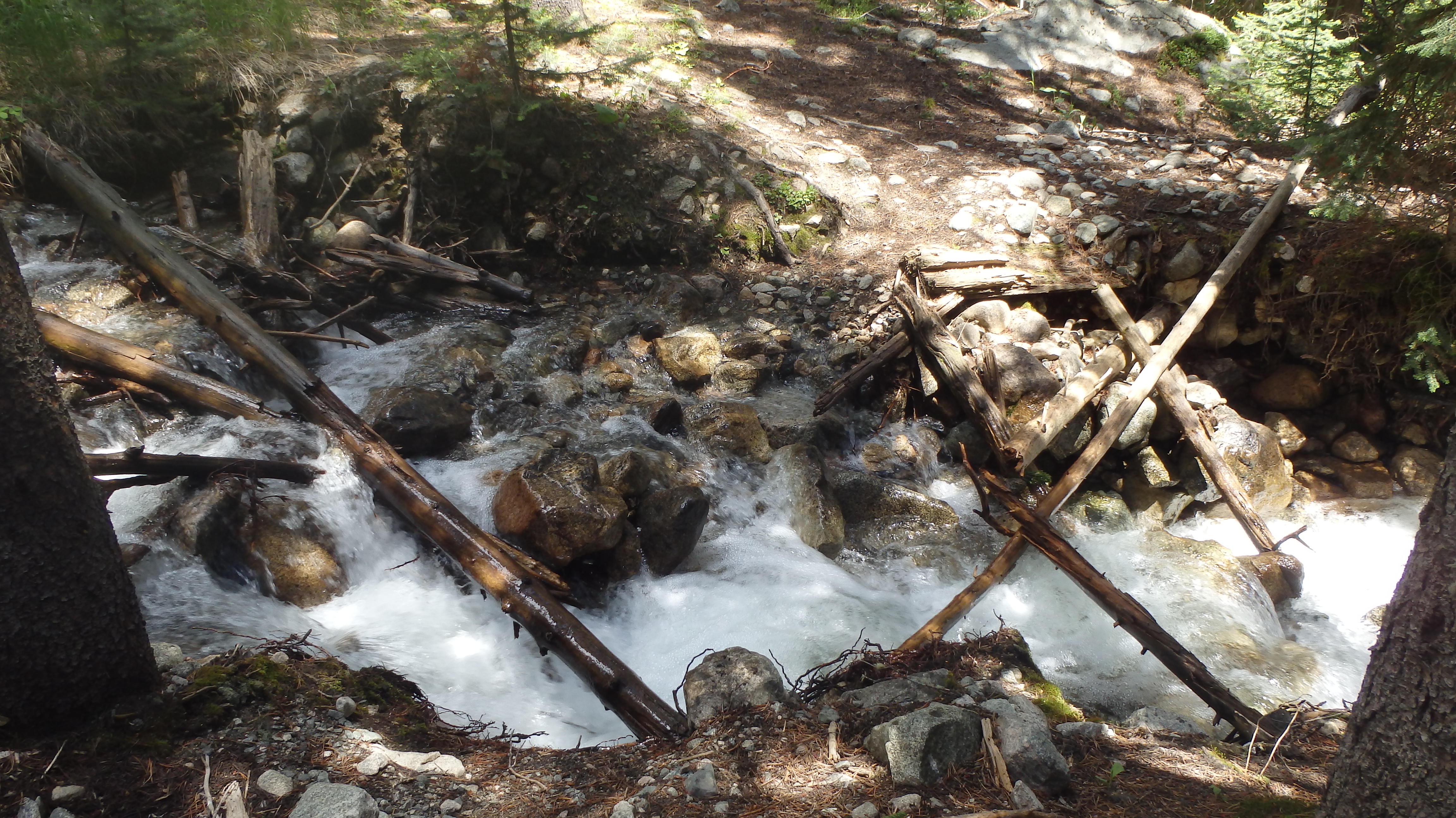
Stream Crossing
The next 2.5 miles are wild and remote. The trail is easy to follow for the first mile, after which it gets harder to follow. At 1 mile from the outlet at Island Lake, the second major obstacle appears- a large stream crossing. This stream is easier to cross above or below the trail- if you spend a few minutes looking for a better route, you’ll find one. Crossing this stream at the trail itself is more difficult than it needs to be, and many hikers accidentally go swimming at this crossing. Fortunately, many fallen trees allow for easier access to the other side above or below the trail.
After this second obstacle, the trail becomes muddier and covered by willows in places. The trail is mostly flat along this section, and the only remaining obstacle is staying on the faint trail.
After 2.5 miles from the outlet at Island Lake, and 8.5 miles from the West Rosebud Trailhead, Silver Lake appears. You’ve hiked through marshes, dry rock fields, willows, miles of hills, and some of the most popular spots to fish in the Beartooth Mountains. However, at Silver Lake it’s hard to tell all of that is behind you- the lake is as wild as any other remote lake in the Absaroka-Beartooth Wilderness. With luck, you’ll spend most of your time at Silver Lake in solitude.
Pictures of Silver Lake, and the Trail
 Silver Lake |
 Island Lake |
 Mystic Lake from Trail |
 Island Lake |
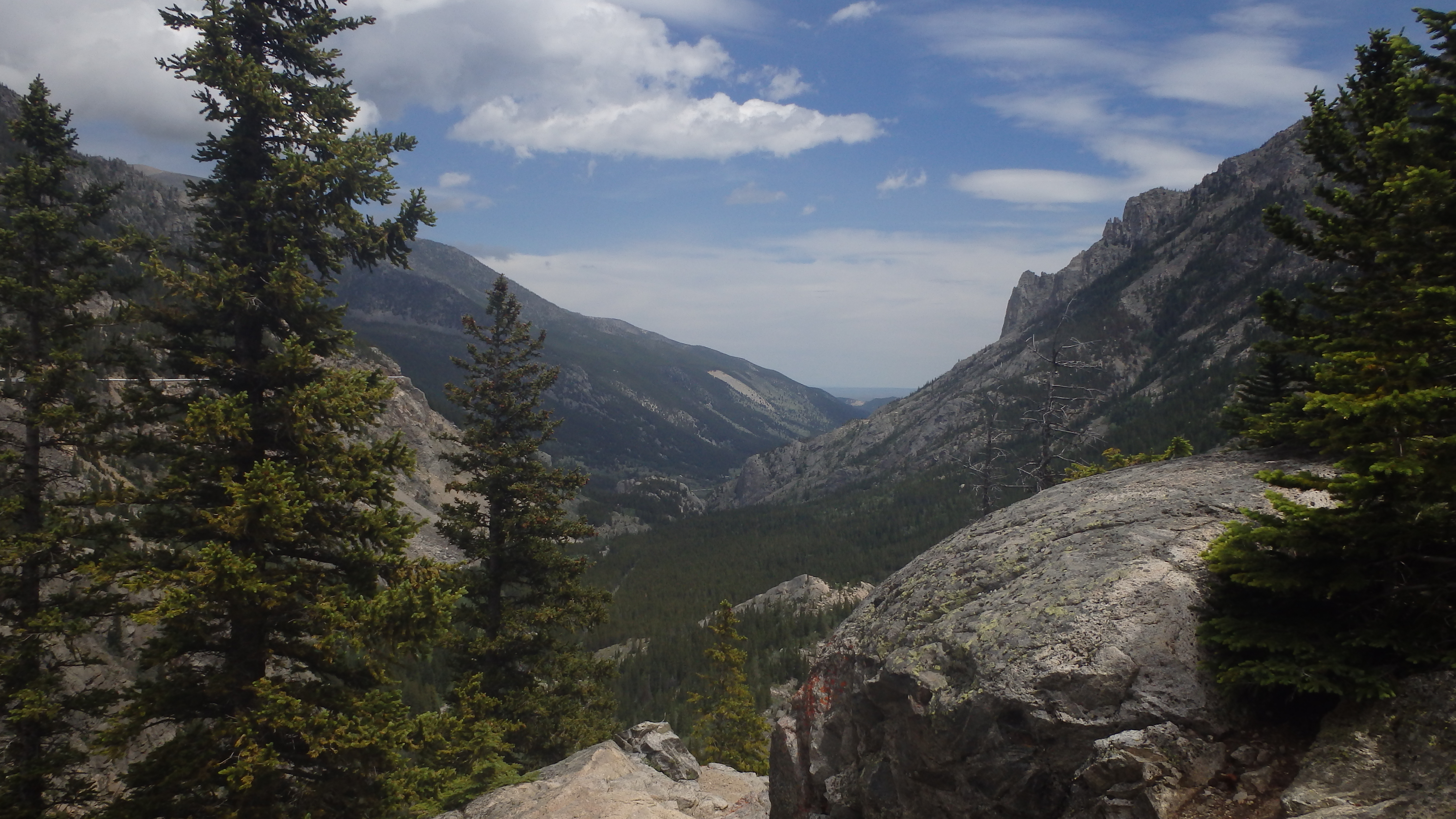 West Rosebud Valley |
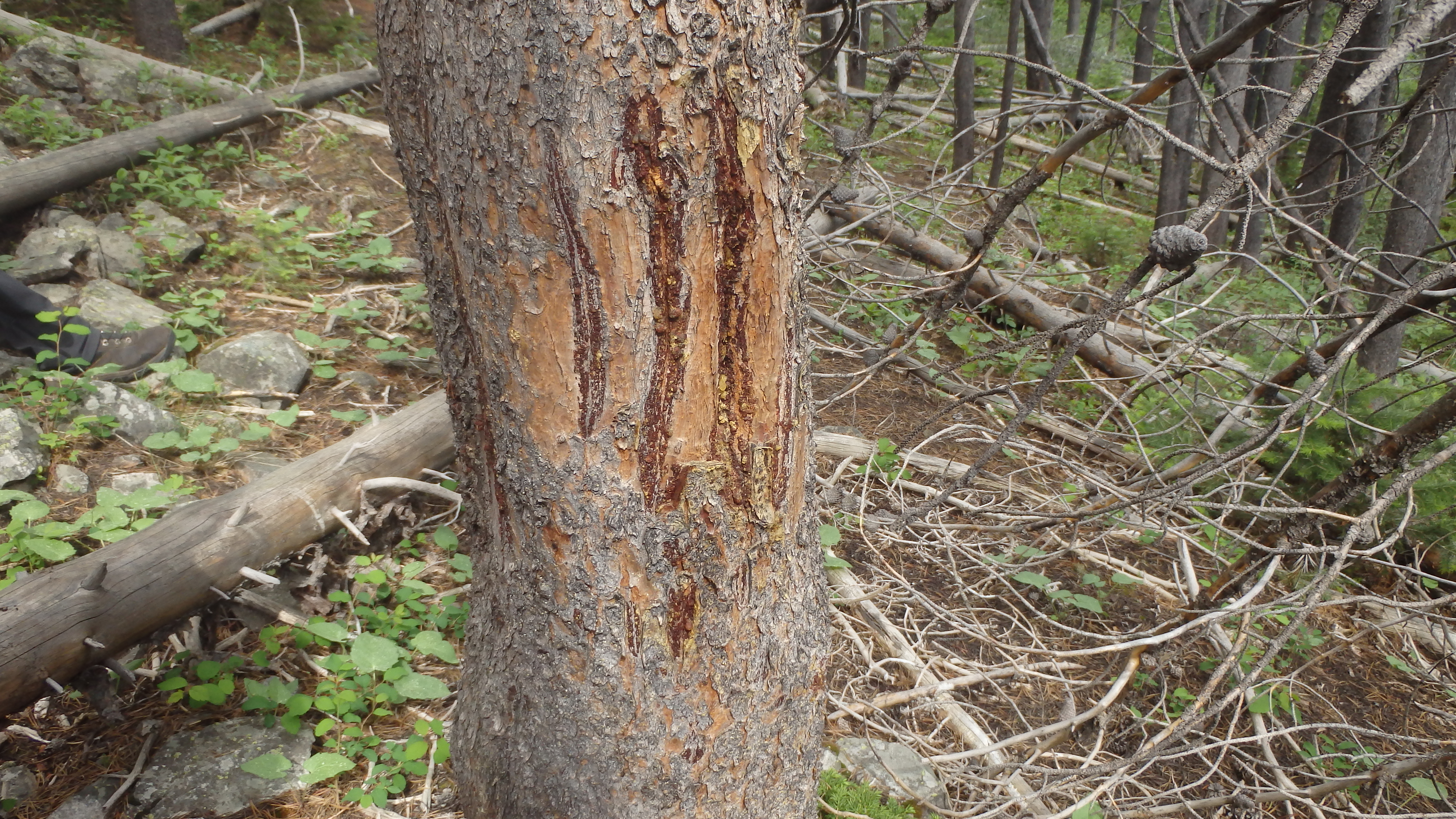 Bear Mark on Tree |
Directions to the Trailhead
From Absarokee, head south of town on Highway 78. Turn right a couple of miles outside of Absarokee, onto Highway 419 (there will be a gas station at this turn). Drive down Highway 419 for 6 miles, passing through Fishtail. Once you drive through Fishtail, drive one more mile down Highway 419, and then turn left onto West Rosebud Road. Follow this road for seven miles, turning left at the sign to Mystic Lake. Travel down this gravel road for about 14 miles (passing Emerald Lake and West Rosebud Lake), and park at the trailhead. This is the end of the road (the rest of the road is closed to the public), and the trailhead is easy to find.