Lava Lake- Spanish Peaks
Lava Lake

Lava Lake, located in the Spanish Peaks section of the Madison Range
It’s hard to find a good mountain lake that is close to a city, but yet is still surrounded by untouched wilderness. Lava Lake is located just minutes from Bozeman, but is still a scenic destination in the wilderness. Although the traffic on the trail is heavy (expect plenty of company on the trail), the condition of the trail has been kept clean by the forest service- and it shows. On a typical summer day, 30+ parties are not uncommon. The large nearby parking lot ensures that unless you hike this trail in February, you can expect to bump into quite a few people on this trail. However, the fishing and beautiful scenery more than make up for the busy trail. The trail is rather straightforward as well, although it is uphill all the way.
The trail to Lava Lake gains 1600 feet in 3 miles, making it a short but strenuous hike. I’ve rated it as easy, but the trail is really somewhere between easy and moderate, given the steep grade. That being said, the trail does have a few straight runs, and offers plenty of scenic spots to take a break at. The biggest challenge of this hike isn’t the trail, but instead finding somewhere to park.
On busy days, the Lava Lake Trailhead parking lot can become quite full. If the parking lot at the Lava Lake Trailhead is full, you can easily park at the nearby Gallatin River Trailhead. Although this may add unwanted distance to your hike, this spacious lot accommodates many hikers destined for Lava Lake. Once you walk to the Lava Lake trailhead, you can see the elevation gain that awaits you- the trail climbs uphill immediately.
The trail continues the uphill grade as you hike into a thick lodgepole forest, alongside roaring Cascade Creek. The trail follows Cascade Creek for the majority of the hike, so you can count on being able to refill your water bottle along the trail. Just as the trail leads you close to Cascade Creek, you enter the Lee Metcalf Wilderness. The forest beyond is protected by the Wilderness Act of 1964, which helps protect special areas like these from development or motorized use.
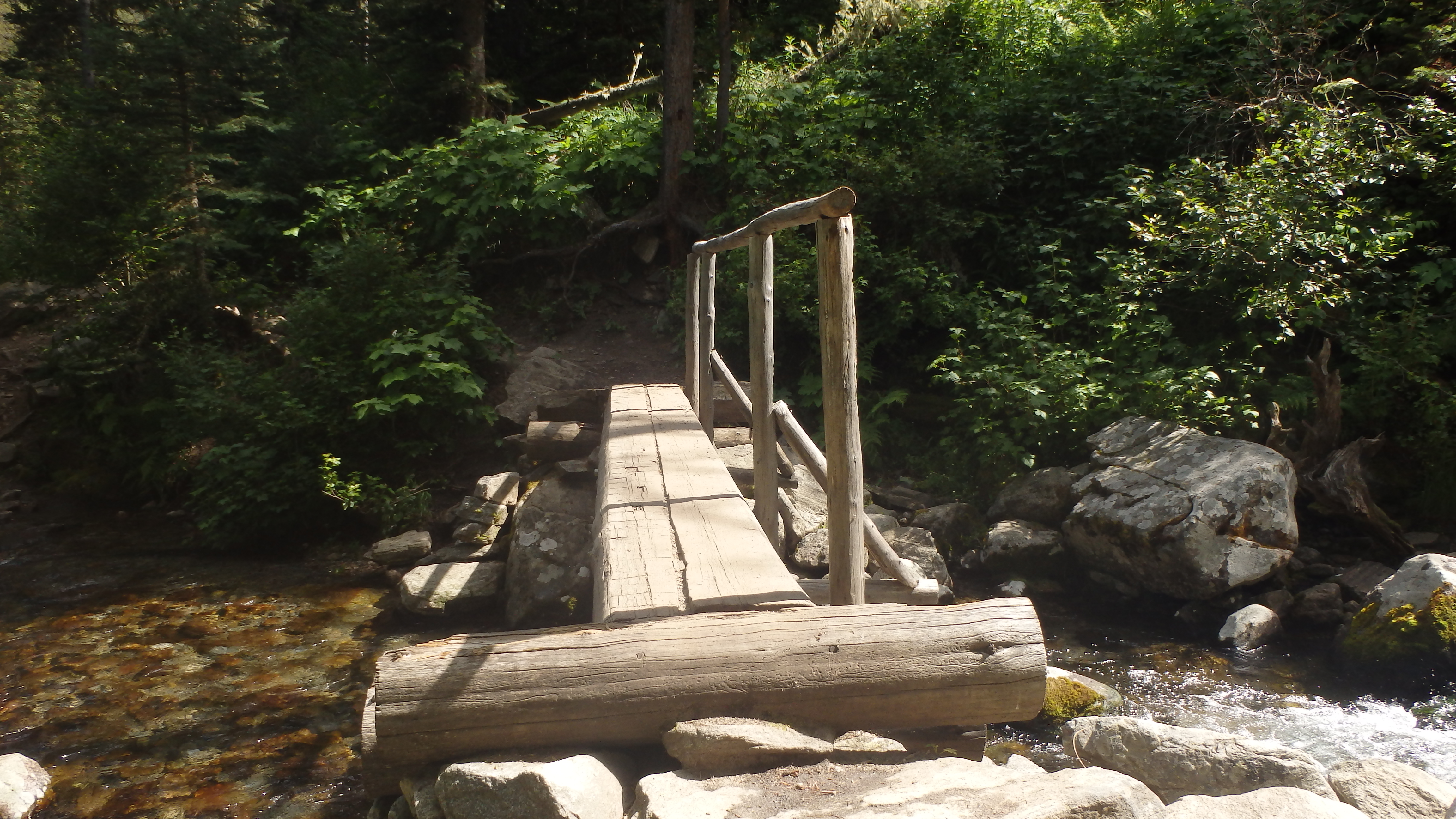
Bridge over Cascade Creek
As you continue hiking through the forest, you reach a log bridge after roughly 2 miles. After this bridge, the trail has many steep switchbacks. Nearby Hoodoo Cascade thunders next to the trail, and is visible by hiking about a hundred yards off trail. The cascade is more dramatic earlier in the year, making late May or early June an excellent time to appreciate it. After three miles of uphill hiking, you arrive at your destination- Lava Lake.
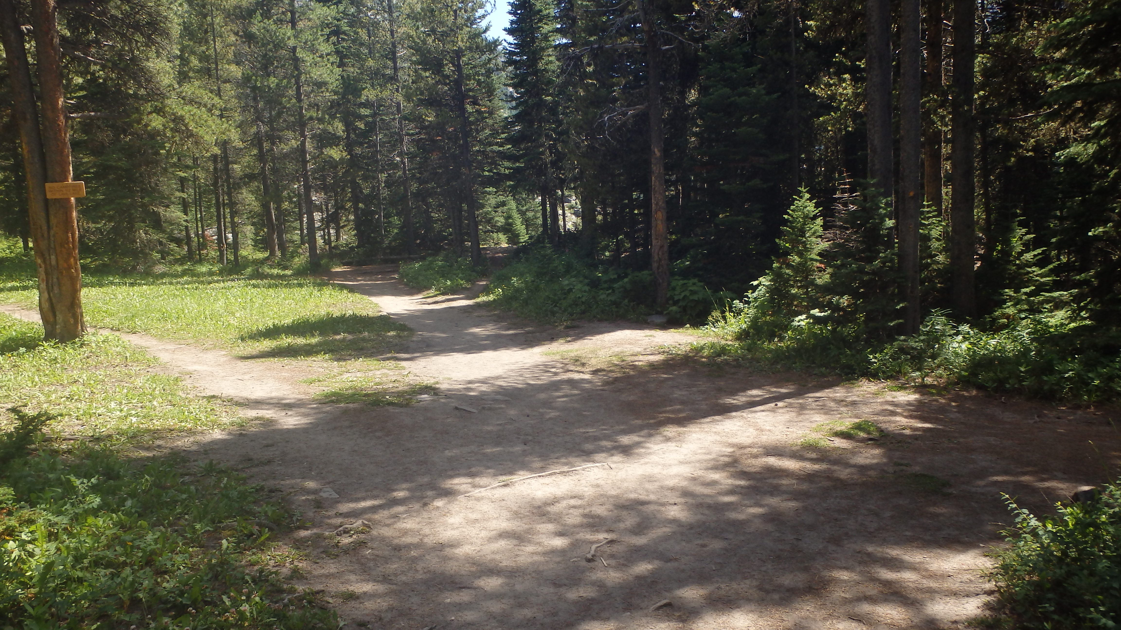
Lava Lake Trail
There are two trails that lead alongside either shore- most people take the east trail, leaving the west trail an excellent path for those who seek more space. Both trails will allow you to enjoy the scenery, swim, or fish. The fishing at Lava Lake is excellent for rainbow trout, and they are typically easy to locate. Although these fish see a lot of lures and flies throughout the year, they still need to eat to ensure survival in the coming winter. With luck, you’ll be able to locate one of these rainbows, and persuade it to strike your lure. The western shore is an excellent place to start looking for these rainbows, since the noise/splashing from other hikers is usually limited to the eastern side.

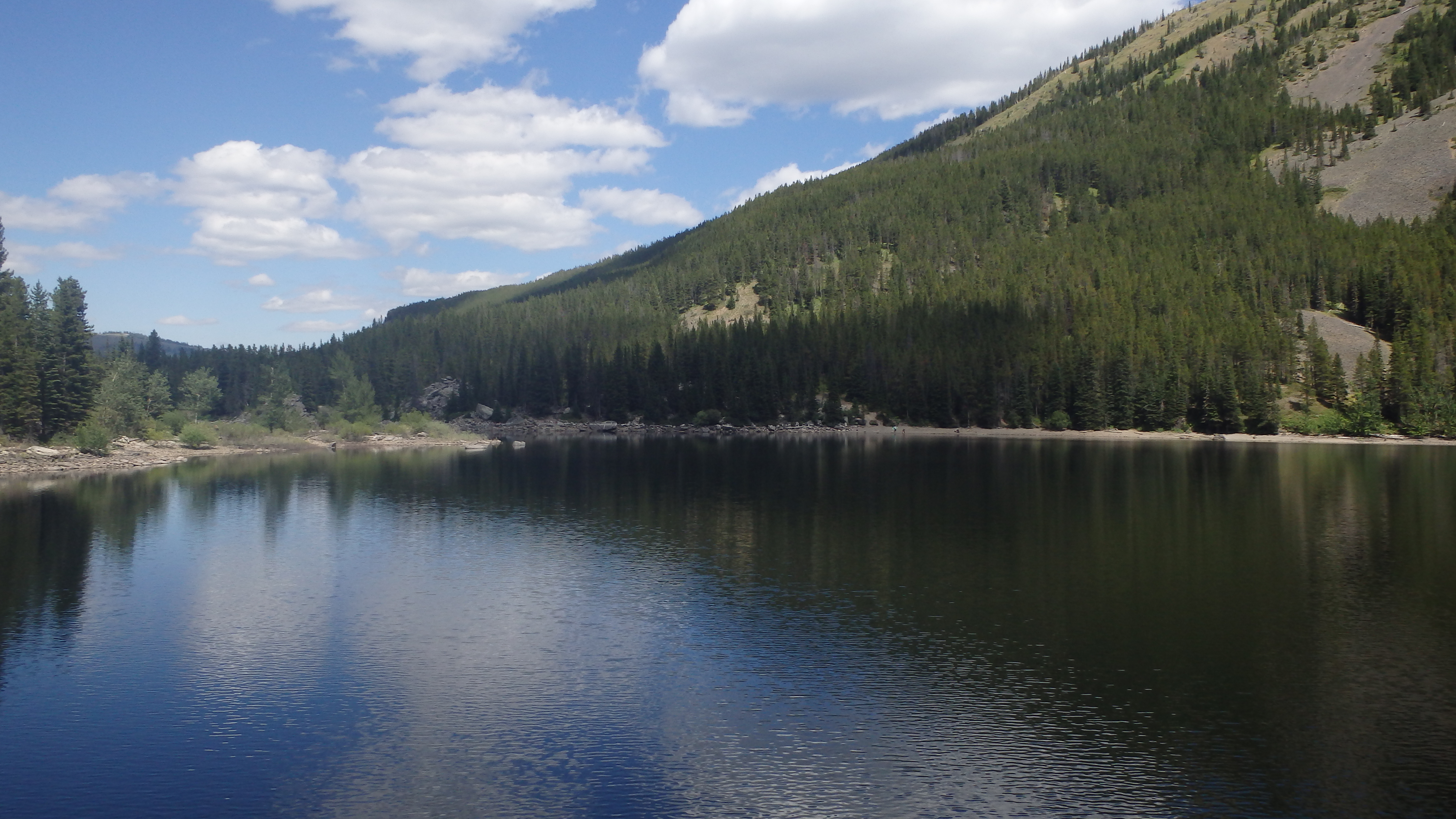
Lava Lake
Camping at Lava Lake is discouraged, for many good reasons. To cut down on overuse, the forest service has banned all campfires within a half mile of Lava Lake. The lake receives a lot of traffic, which would make this lake a mess if hikers regularly camped here. The steep grade of the trail also makes carrying a large pack to the lake considerably more difficult than a light daypack. Choose to carry a light daypack instead, and enjoy this lake in a way that others in the future may also enjoy it.
When you’re ready to depart, head back down the same trail that you hiked up. I found this part of the trail the most enjoyable- the downhill grade isn’t too steep, so it’s easy to maintain control while hiking down. You have to enjoy any trail that is downhill all the way, and the Lava Lake trail certainly is. Just try not to smirk at anyone who’s fighting gravity, as you pass them on the trail. After a seemingly three short miles, you’re back to the trailhead.
Pictures from Lava Lake, and the Trail
 Lava Lake |
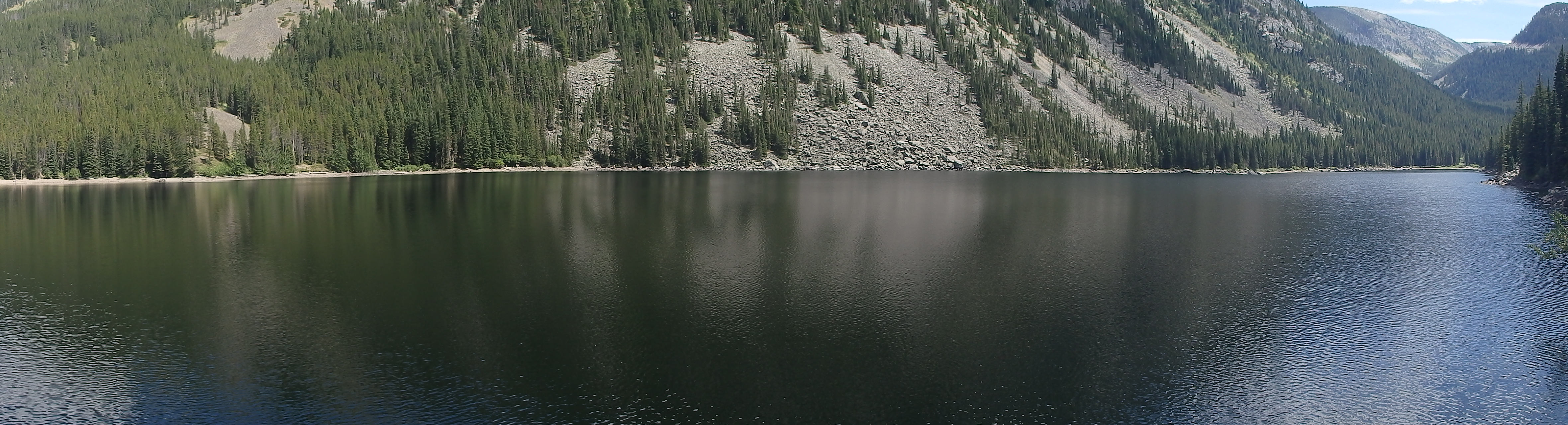 Lava Lake Panorama |
|
Bridge over Cascade Creek |
Lava Lake Trail |
Directions to the Trailhead
From Four Corners, take Highway 191 South for 20 miles. The trailhead parking sign is on the right, but be aware that it is a right turn only- if you miss this road you’ll need to turn around twice for a second chance. Once on the road, it immediately turns to gravel, and is a short .2 miles to the trailhead. I prefer to park at the nearby Gallatin River Trailhead, and walk down to the Lava Lake trailhead. The Gallatin River Trailhead is larger, and you can turn into it from any direction.
