Rimrock Lake- Beartooth Mountains
Rimrock Lake
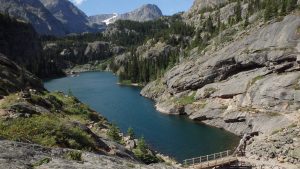
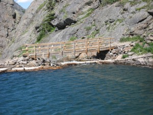
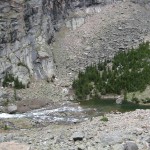
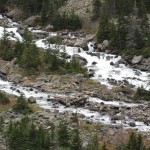
Rimrock Lake is the second lake along The Beaten Path, a 26-mile hike through the heart of the Absaroka-Beartooth Wilderness. At six miles from the trailhead, the lake is a good day hike for moderate hikers, or a good day trip for beginner hikers camped at Elk Lake. The lake itself is gorgeous, with a waterfall at the inlet, and a sturdy bridge at the outlet.
From the trailhead, the hike starts at East Rosebud Lake, which is mostly closed to public access. After about a half-mile, you cross the wilderness boundary and the end of the East Rosebud Lake. From there, it’s another 3 miles of hiking to Elk Lake, which is a good spot to stop for a break. Past Elk Lake, the hiking gets a little tougher, but it is nothing a novice hiker can’t handle.
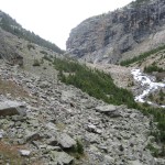
From Elk Lake, the trail stays close to East Rosebud Creek for about a mile and then climbs up a rock field. Although this rock field can be blocked by snow in the early or late season, it’s clear and dry in the Summer season. Watch out for horses on this part of the trail, as the trail can be narrow, and hard to navigate around equestrian parties.
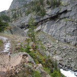
After the rock field, the trail leads to the highest point on this hike, a small overlook that is great for pictures. From this spot, you have a great view of the lake and surrounding cliffs. Rimrock Lake was formed by a landslide that blocked the outlet, which you can easily see from this point. From here, it’s all downhill to the lake, and to the bridge at the outlet. I’m personally very fond of the bridge here- it’s quite sturdy, and a great spot to fish off of.
Fishing at Rimrock Lake is either hit, or miss. The best fishing tends to be at the inlet of the lake, although I personally recommend pushing another mile (technically, 2 miles) to the inlet of Rainbow Lake. The Cutthroat Trout at Rainbow Lake are worth the extra hiking!
Camping at Rimrock Lake is limited- there are a couple of spots near the middle of the lake, but one of them is closer to the lake than I would rather (and what is permitted). Forest Service regulations require camps to be 300 feet (100 yards) from lakes, and one of the popular camping spots at this lake violates that rule. If you do choose to camp at Rimrock Lake, make sure that your camp is a zero-impact camp site. I have never camped at Rimrock Lake, and I wouldn’t recommend it. The steep canyon walls and high trail traffic would mean that you would camp in full view of all the hikers on the trail. It’s a great spot for day trips, though!
Pictures from Rimrock Lake, and the Trail
Directions to the Trailhead
From Absarokee, take Highway 78 south of town. About 13 miles down the highway, turn right at Roscoe (East Rosebud Road). Follow this road all the way (about 5 miles), until the road sharply turns to the right (if you drive straight, you will hit Luther Roscoe Rd). There is a bridge just before the turn, and a large forest service sign at this turn, so it’s easy to spot. From here, it’s another 10 miles to the trailhead. The road is usually in fair condition and is mostly gravel. At the parking lot, the trailhead is easy to spot.
Map to the Rimrock Lake Trailhead
