Margaret Lake- Beartooth Mountains
Margaret Lake
If you’re seeking a lake less than 3 miles from a popular trailhead, while at the same time looking for isolation from others, look no further than Margaret Lake. Although the trail isn’t as easy to follow as others (the last quarter mile is hard to follow at times), the fishing and solitude more than make up for the quarter mile of stumbling though brush. Located just a few minutes from Cooke City, you’ll pass many hikers on the way into Margaret Lake, but you’ll be almost guaranteed solitude once you arrive at the lake. This trail does lead through an area that is notorious for its bear population, so be sure that you know how to safely hike in bear country, before you leave the trailhead. This hike starts from the busy Clarks Fork Trailhead, easily accessible from Highway 212.
Leaving the trailhead, follow the many signs for Russel Creek Trail #3, which leads you past the popular Flume Trail, over the Clarks Fork Yellowstone River, and into a mature lodgepole forest. This section of the trail is moist in mid-summer, making it a perfect breeding ground for mosquitoes; it would be foolish not to bring plenty of insect repellent on this hike. The trail forks at 2/3 of a mile towards nearby Kersey Lake, bear right (straight) to continue down Russel Creek Trail #3.
After about a mile, Vernon Lake Trail #565 appears. Turn right at this trail, which immediately leads uphill. The first mile of this hike is flat, but the terrain afterwards is up-and-down; although this hike only gains 105 feet from the trailhead, it is full of small hills. This is great- a flat trail through the forest is boring at times, and these hills add character to the trail. Adding even more scenery to the trail is Lillis Lake, which appears after 2 miles.
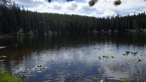
Backdropped by the nearby mountains, Lillis Lake might seem like a worthy destination in itself- the lake is beautiful, and the brook trout are usually willing. Margaret Lake, however, offers better fishing, great scenery, and the chance to be alone in the Absaroka-Beartooth Wilderness, which you crossed just before Lillis Lake. Continuing down the trail another quarter mile past Lillis Lake (2.25 miles from the trailhead), the turn for Margaret Lake appears.
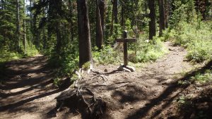
The turn for Margaret Lake is not apparent- the last quarter mile isn’t an official trail, so the forest service doesn’t have a sign for it. A quarter mile from Lillis Lake, and on the downslope of a large hill, the faint trail leads off to the left towards Margaret Lake. If you’re paying attention at this point, you’ll see it- it is about as faint as a game trail, but easy enough to see. If you cross the creek (or dry creek bed, depending on the flow) between Lillis Lake and Vernon Lake, you’ve hiked just slightly too far.
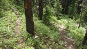
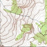
Turning left at this faint side trail, you enter the forest. Hopping over logs, and stomping though brush, the trail leads uphill, and turns towards the lake. A map or GPS is handy here, but if you don’t have one, don’t worry. The trail is easy to follow if you pay attention, and if you do lose the trail, just follow the creek uphill and to the left (north), and you’ll reach Margaret Lake.
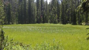
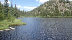
After arriving at Margaret Lake, you’ll have a beauty to behold. The swampy shorelines gives way to a relatively deep lake, with opaque water. This is a muddy and brushy lake, but the floating shoreline does offer the ability to get as close to the lake as possible, without getting your toes wet. The fishing for cutthroat trout is impressive for a lake that is so close to Highway 212 (and Yellowstone). Thankfully, the last quarter mile of the trail keeps most anglers away from this lake.
After you’ve enjoyed a nice afternoon of fishing, or if you’re being chased away by the notorious afternoon thunderstorms, head back downhill towards Vernon Lake Trail #565, and the trailhead. Although this trail only provides a taste of what the Absaroka-Beartooth Wilderness has to offer, you’ve hopefully found respect for this pristine environment. Margaret Lake doesn’t receive much traffic now, and let’s make it look that way. Tread lightly, pick up any trash that you see, and try to make as little of an impact on this lake as possible.
Directions to the Trailhead
From Red Lodge, drive on Highway 212 for 58.1 miles, or from Cooke City drive 3.4 miles to the well signed Clarks Fork Trailhead.

