Blackmore Lake- Gallatin Range
Blackmore Lake
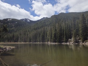
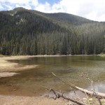
Blackmore lake is an easy, albeit mostly uphill, hike located near scenic Bozeman, Montana. Located just 30 minutes outside of town, Blackmore Lake is a beautiful lake back dropped by a jagged peak. Although Blackmore Lake has little to offer fishermen, it does offer the opportunity to observe wildlife, and rockhound.
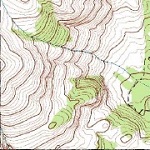
One item of absolute necessity in this area is a GPS, compass, or topo map. This trail is intersected with at least 5 other trails, and it helps to have a good idea of where the trail is. Fortunately this area is surrounded by roads; so if you do get lost- just head downhill.
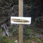
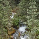
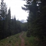
The hardest part of this hike isn’t the actual legwork needed to climb the 640 feet to Blackmore Lake. Instead, the hardest part is finding the correct trail. Several trails intersect the main trail, and the first turn that you will make on this trail is to bear left (straight) after proceeding about 300 yards down the trail. Continuing, you will cross a small feeder creek, and eventually end up at a crossroad, where you can continue straight (and to the right), or you can travel left. The left trail will (eventually) lead to Crescent Lake, whereas the right trail will lead to Blackmore Lake. Upon turning right, the trail abruptly climbs to the maximum altitude on this trail (7,338 feet), and then back down to Blackmore Lake.
Once at Blackmore Lake, you’re free to take in the scenic views. Early and late in the year, this is an excellent spot for those who want to continue another 5 miles down the trail, and ski down. For those interested in rockhounding, there are an abundance of sea shells in the Limestone near the trail. Whatever you’re interested in at Blackmore Lake, you can enjoy the solitude early or late in the season. Later in the summer, this lake receives quite a bit of traffic. When you’re ready to head back to the trailhead, head back down the same trail you came up.
Pictures from Blackmore Lake, and the Trail
Directions to the Trailhead
Head south from Bozeman on S 19th road, then turn left on Hyalite Canyon Road. Take this road all the way down to the trailhead (Blackmore trailhead), about 9 or 10 miles down the road. Take the east trail (the one above the parking lot, and directly to the right of the trailhead sign).
