Red Lodge Creek Trail- Beartooth Mountains
Red Lodge Creek Trail- Beartooth Mountains
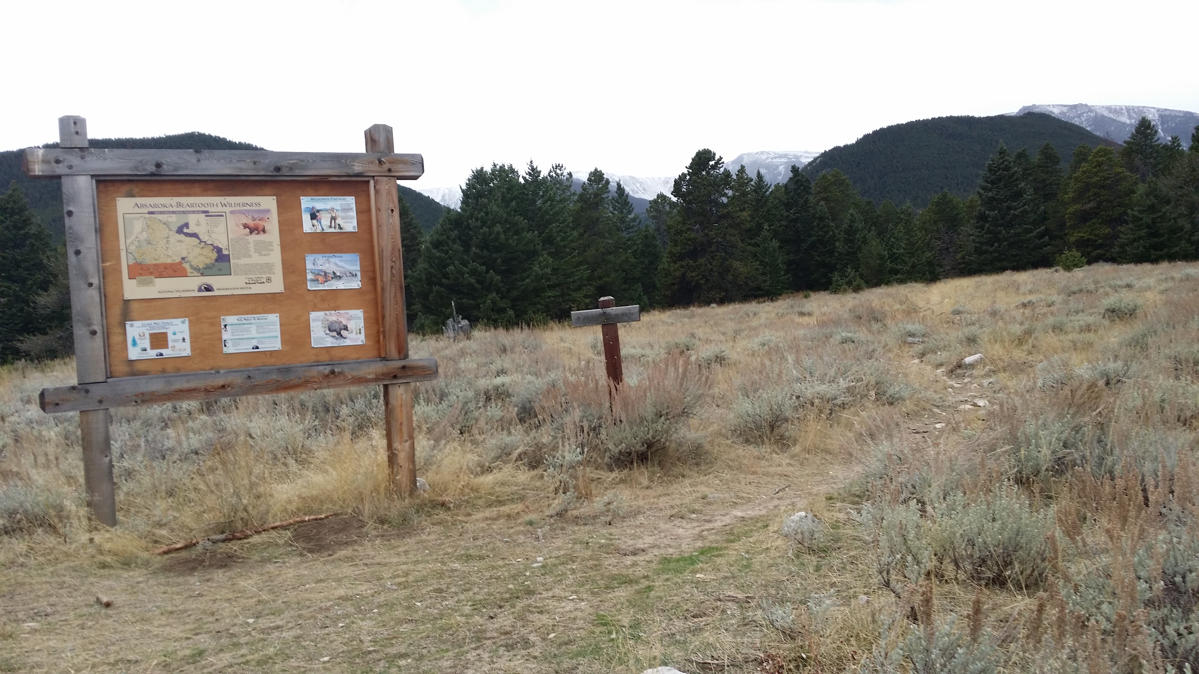
Red Lodge Creek Trail #14
Red Lodge Creek Trail #14 is a quick day hike through a mature forest. This hike is mostly traveled by local residents, so the traffic is usually lighter than other day hikes near Red Lodge. The trail traffic is exceptionally light in the late fall (where about half of the upper trail is inaccessible), which makes Red Lodge Creek Trail a nice late season or early season day hiking trail. If you’re looking for the possibility of an uninterrupted day in the mountains, Red Lodge Creek Trail might have what you’re looking for.
Red Lodge Creek Trail
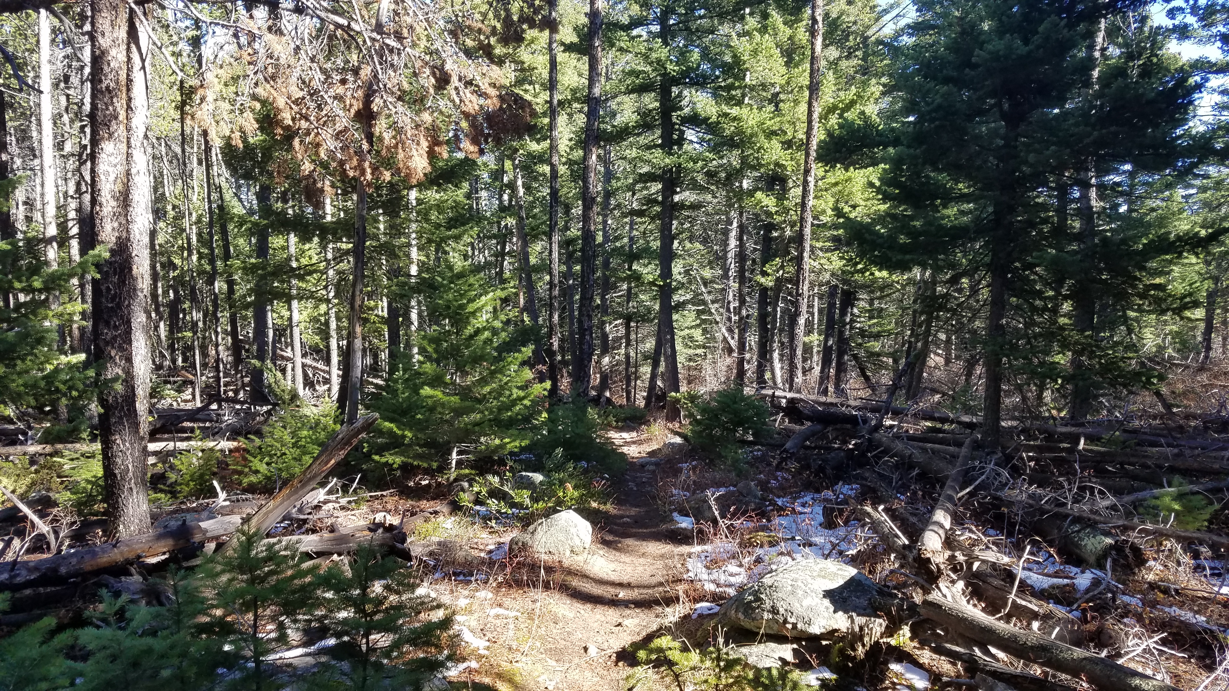
Leaving the spacious trailhead parking lot, Red Lodge Creek Trail starts running through sagebrush, and immediately leads into the forest. You can get by with a light application of sunscreen on this hike; with few exceptions, the day hike portion of this trail is below timberline, and has plenty of shade. Once the trail enters the forest, it runs along West Red Lodge Creek for the duration of this hike. This allows access to plenty of clear and cool water, so bring a water filter if you need it. After 1 mile, the first turn on the trail appears.
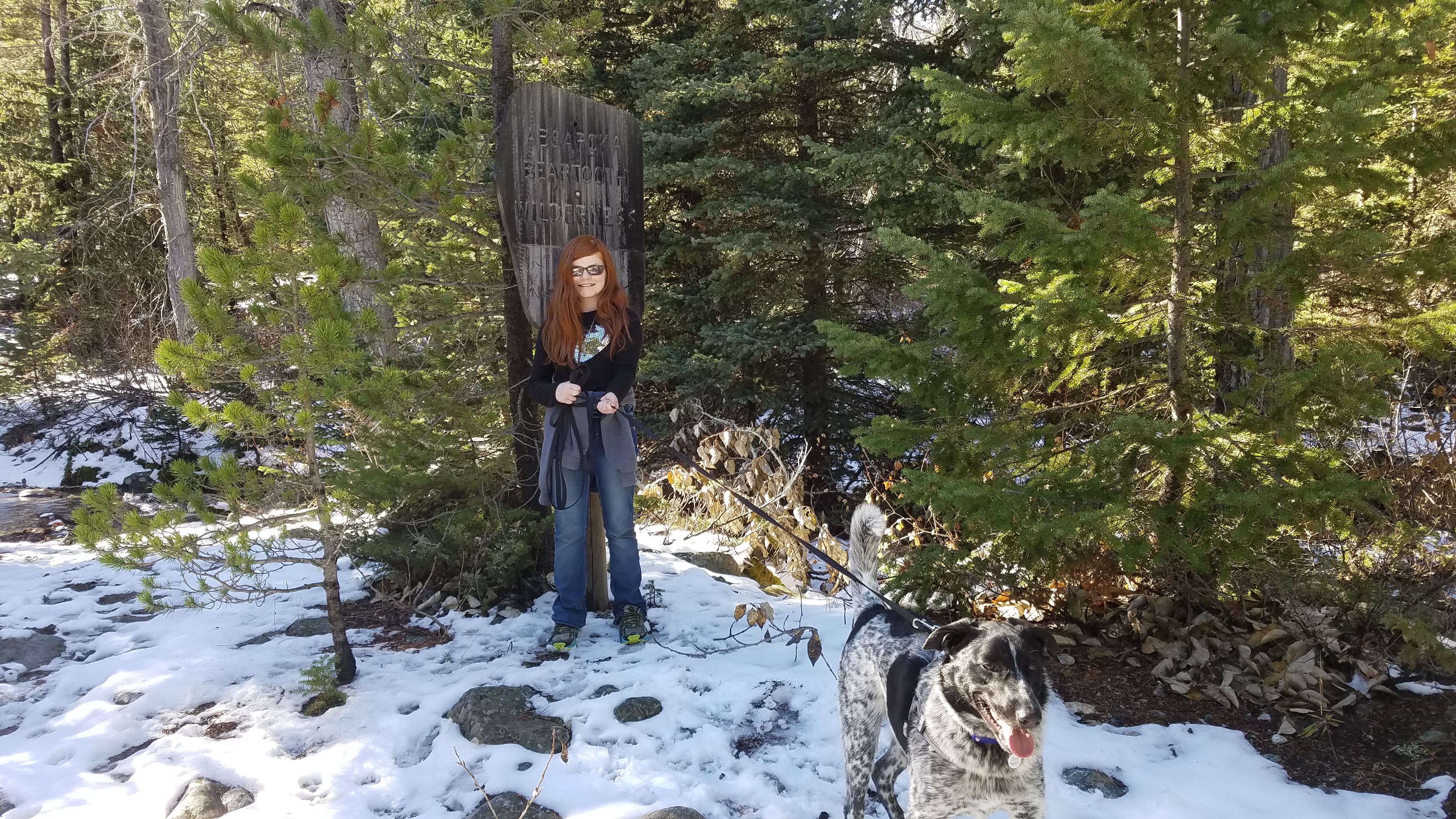
Wilderness Boundary
Bear left at this intersection (otherwise, you end up at Switchback Ranch Cabin Road after 1.3 miles of hiking through sagebrush), as the trail begins to climb uphill. It might seem like you’re leaving West Red Lodge Creek behind as you cross over the large and sturdy forest service bridge, but don’t worry– you’ll see plenty of flowing water in the next two miles. The trail repeatedly crosses West Red Lodge Creek, making for some interesting rock hopping. The rocks are especially moist from the shade they receive, a perfect home for slick algae. Fortunately, the creek isn’t deep, and there are usually logjams or fallen trees that you can cross on if you are determined to keep your feet dry.
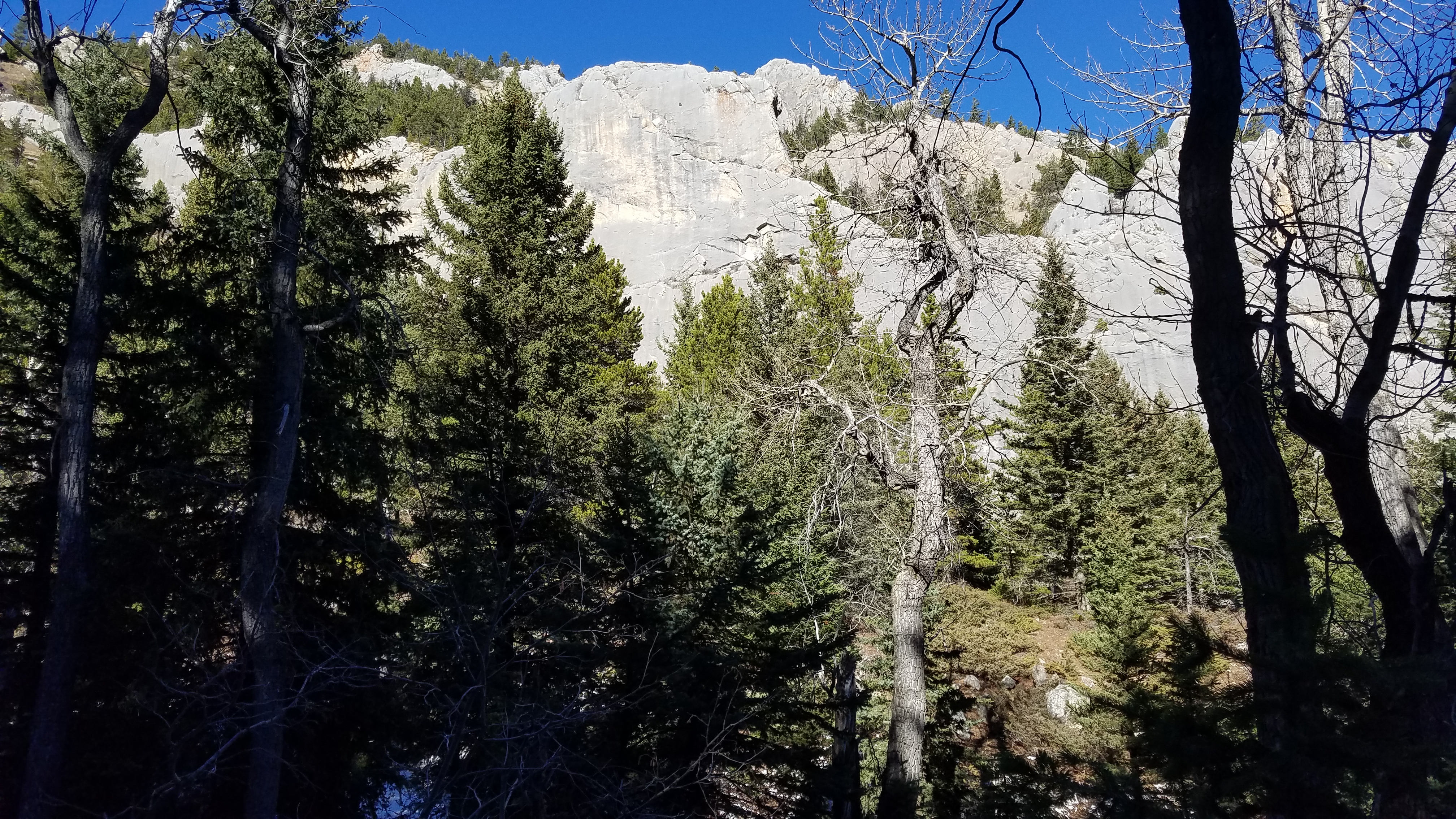
Limestone Cliffs
One of the interesting parts of this hike is the geology- the hike runs through a valley cut through the Palisades, a sedimentary rock formation that runs along the northern edge of the Beartooth Mountains. As you hike along this trail, you will pass tall limestone columns that later give way to metamorphic rocks, which are more common in the Beartooth Mountains. Keep an eye out for this geological boundary of sedimentary and metamorphic rocks, which is about two miles in.
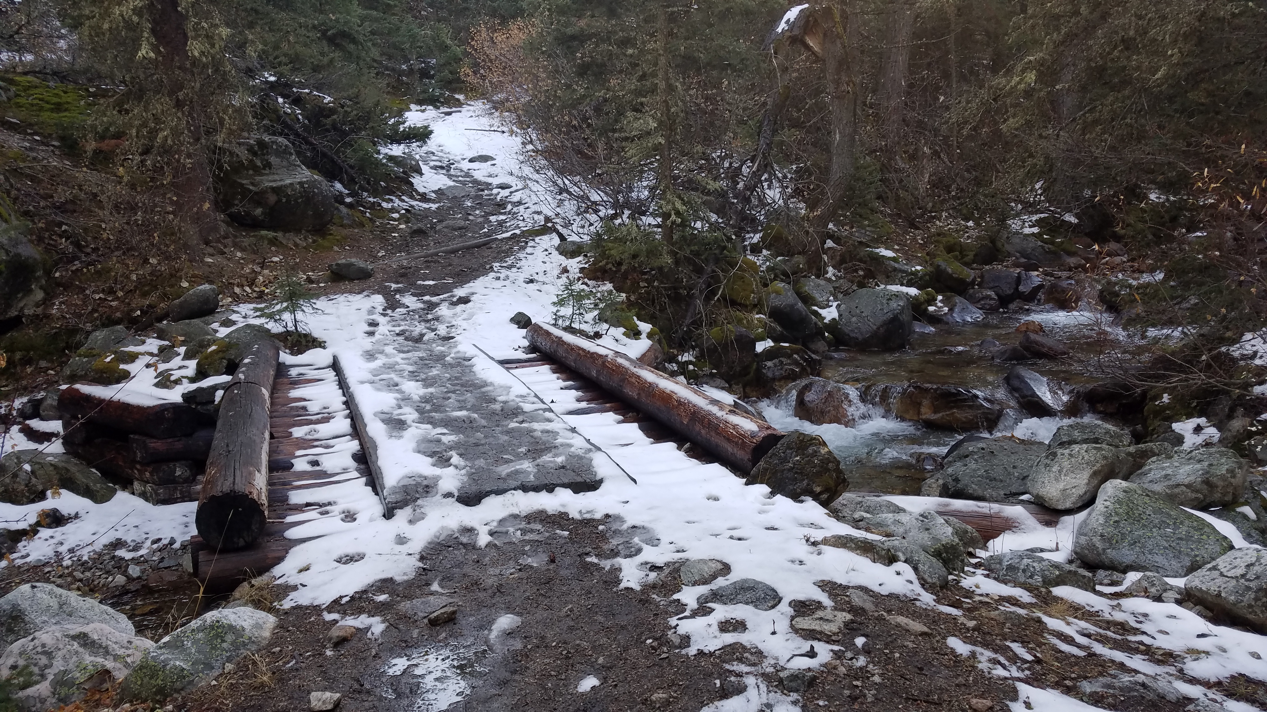
Bridge over West Red Lodge Creek
After the forest service bridge, the trail begins its uphill climb. This portion of the trail is very easy- 1,200 feet are gained within the first three miles. As you hike along, and as you hop across the many stream crossings, keep an eye out for wildlife. This is prime bear, moose, and deer habitat. Needless to say, this trail does receive some use from hunters in the fall, but most of the hunters in the area prefer to hunt closer to the forest service roads.
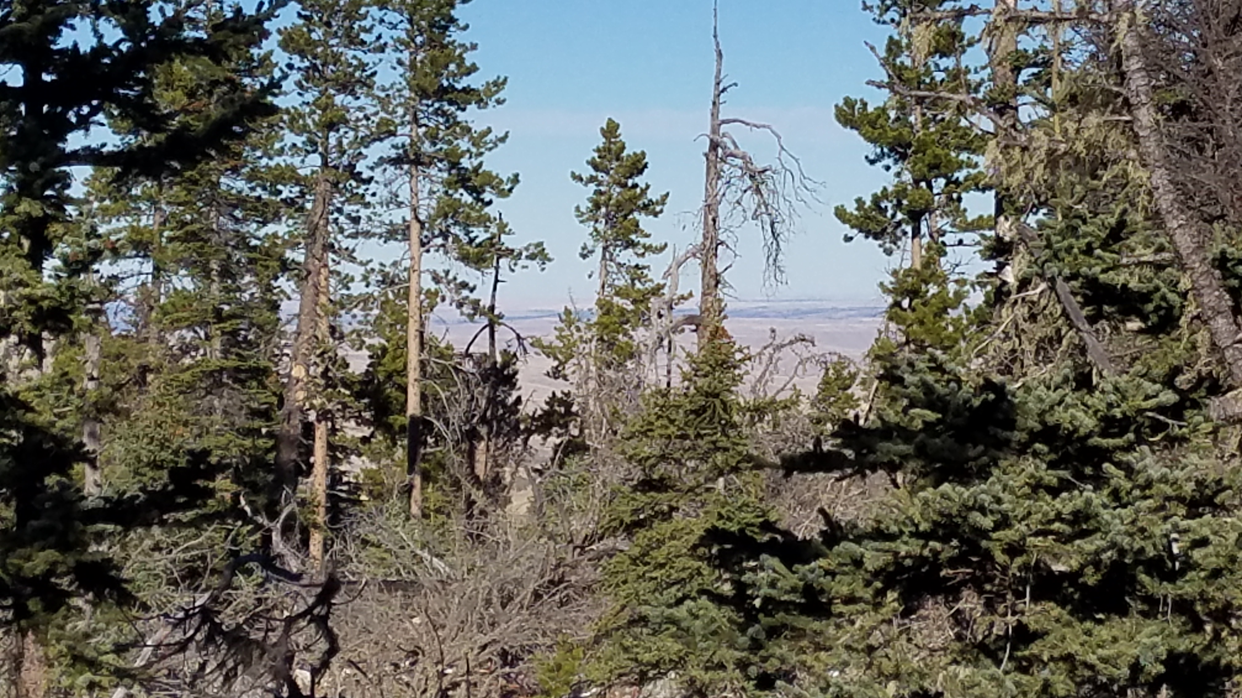
You don’t have to hike any further than three miles, to enjoy views of the prairie below.
Once you’ve hiked as far as you want, you simply turn back around and hike back down towards your vehicle at the trailhead. A good spot to turn around at is the three-mile mark, just before one of the last creek crossings (saving you from crossing a particularly tricky part of the creek), offering a glimpse of the prairie below Butcher Mountain. From here, you can see for miles if the conditions are good, and it saves you from hiking further up the trail (where the trail grade steepens, and you hit the first switchbacks). Once you’ve decided to head back down, take your time and appreciate this trail in the Absaroka-Beartooth Wilderness.
Directions to the Trailhead
From Red Lodge, head north on MT-78 at the traffic circle just before town. Drive on MT-78 for 12.7 miles, and then turn left onto Lower Luther Road. 2.4 miles down this gravel road, turn right at the intersection, onto Luther-Roscoe Road. After another half mile, turn onto Upper Red Lodge Creek Road, which runs for 2.7 miles before entering the forest boundary. Turn right to stay on Upper Red Lodge Creek Road, and follow the road to the trailhead (1.4 miles).
