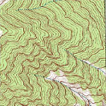
Huckleberry Lake- Beartooth Mountains
Huckleberry Lake
Huckleberry Lake
If the trail at Mystic Lake isn’t remote enough for you, you only have to hike an extra mile to Huckleberry Lake for a better chance at solitude. Even though Huckleberry Lake is only 7 miles from the West Rosebud trailhead, it is not visited nearly as much as Mystic Lake and nearby Island Lake. You might ask, “Why is this?”. The simple answer is that Huckleberry Lake is not particularly easy to find, it isn’t on an official trail, and it’s not really popular. That being said, it is an absolute must-see in the Beartooth Mountains- the narrow canyon walls combined with the nearby mature forest leaves an impression that you soon won’t forget. The fishing usually won’t disappoint, either.
Another attraction to Huckleberry Lake is that it is on the way to other destinations up the valley including Princess Lake, Avalanche Lake, and Granite Peak (a popular climbing destination, and Montana’s highest mountain). Oh- did I mention that the fishing was good? Well, enough about why you should visit Huckleberry Lake- let’s tackle the hike itself.
Starting at the West Rosebud trailhead (which supports a huge parking lot), the trail starts uphill and into the Mystic Lake hydroelectric camp. One interesting feature about this section of the trail is that you can learn all about how the dam was built, and the obstacles encountered during it’s construction. There is a nice informative plaque at the trailhead, which goes into detail about the dam, and it’s construction. Hiking out of the camp, you’re faced with a large hill that leads into the forest.
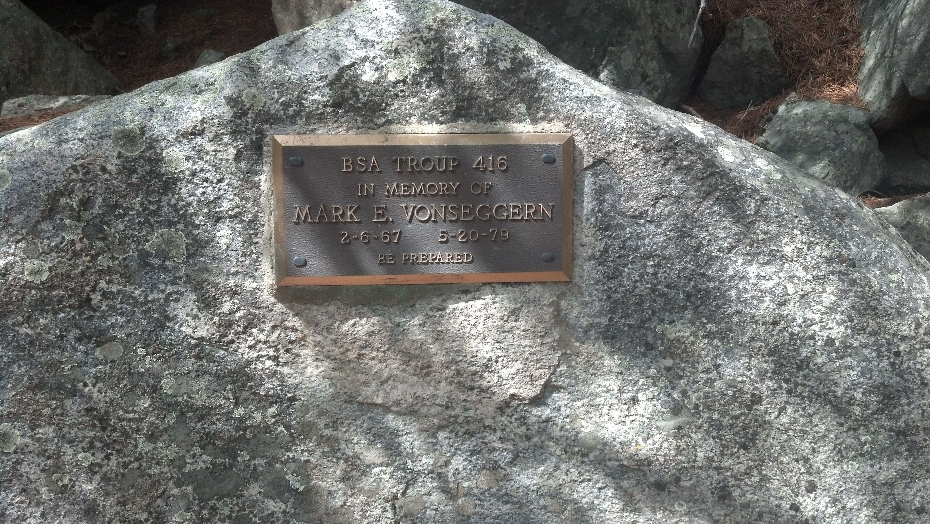
Mark E. Vonseggern’s plaque
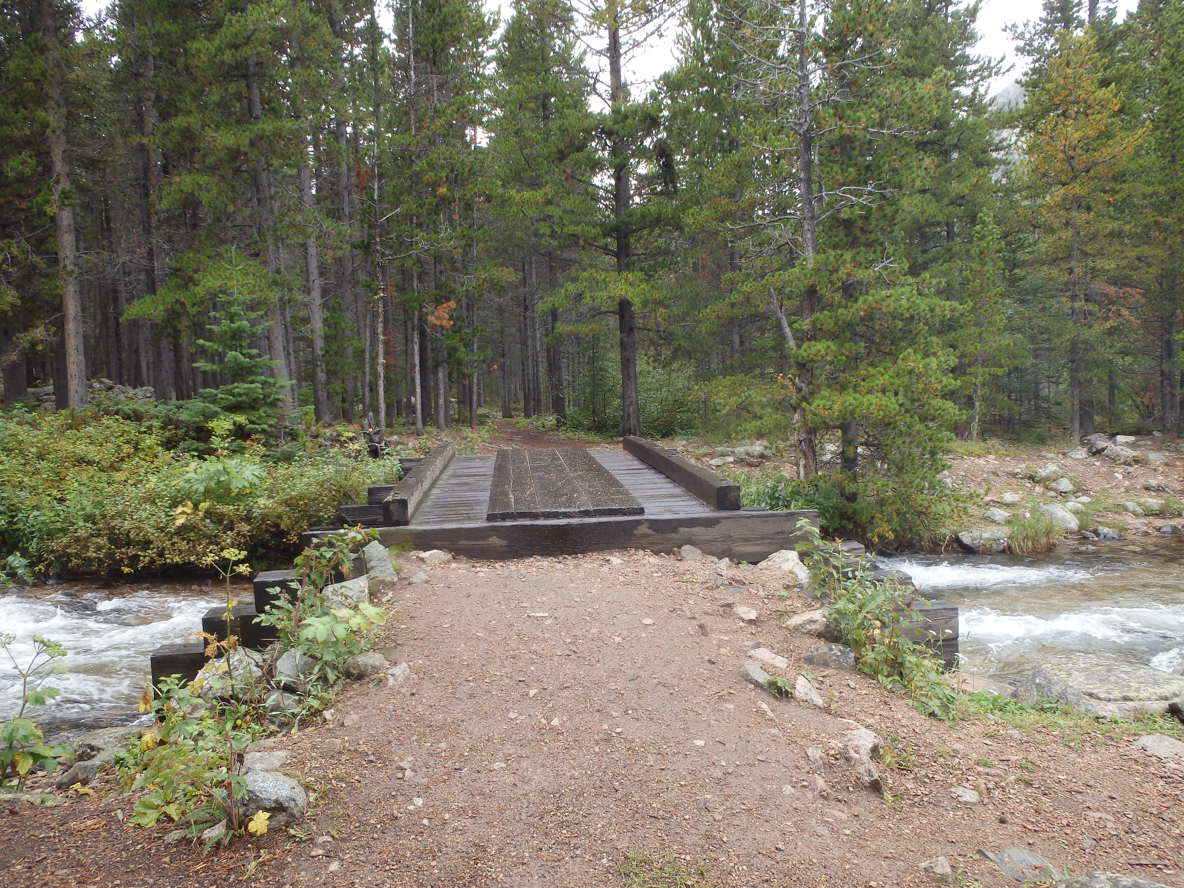
Hiking uphill from here, you’re in one of the steeper parts of the trail. It doesn’t seem like it, but you gain quite a bit of altitude walking through this forest. On your right, there is a memorial to Mark E. Vonseggern, a boy scout that died when he lost his footing on the trail in 1979. It’s a solemn reminder of what can happen out in the wilderness. Moving along the trail, you cross the West Rosebud Creek, on a very sturdy bridge. This is the last place to refill your water bottles before Mystic Lake, if you’ve already ran out of water.
Crossing the bridge, it’s a short distance to the beginning of a rock field. This rock field is like most rock fields- stifling hot on a warm sunny day. If you plan on hiking this trail in the summer, try to cross this rock field as early as possible. Otherwise you’ll be hot, sweaty, and thirsty when you arrive at Mystic Lake.
This rock field lasts for about a mile, and has plenty of switchbacks on it. This is one of the more scenic portions of the hike- once you make it past a few switchbacks, stop and take a break. The West Rosebud valley is scenic any time of the year, and you’ve got a perfect vantage point. There are also many marmots which can be seen and heard from the trail.
At the end of the rock field, you enter two small groups of trees. These are great for shade (in case you didn’t follow my advice about crossing this rock field in the morning). Immediately after these two groups of trees, you arrive at another great spot to take a break- the Mystic Lake overlook. This is my favorite part of the trail, and many others share that sentiment. The view from the overlook is one that I guarantee you will not soon forget.
Heading down to the lake, the trail enters the forest again. Here the grade is flatter than the trail through the forest closer to the trailhead. Any elevation gained over the next 3 miles is quickly lost again- this section has plenty of hills to make the hike interesting. While you’re hiking this portion of the trail, keep an eye on Mystic Lake. Mystic Lake is the largest lake in the Beartooth Mountains, and it’s no more apparent than on this section of the trail. For the full three miles of this section of the trail, you’ll hike along Mystic Lake’s shoreline. Several feeder streams also cross this section of the trail, some of which are large enough to guarantee wet feet in the early season.
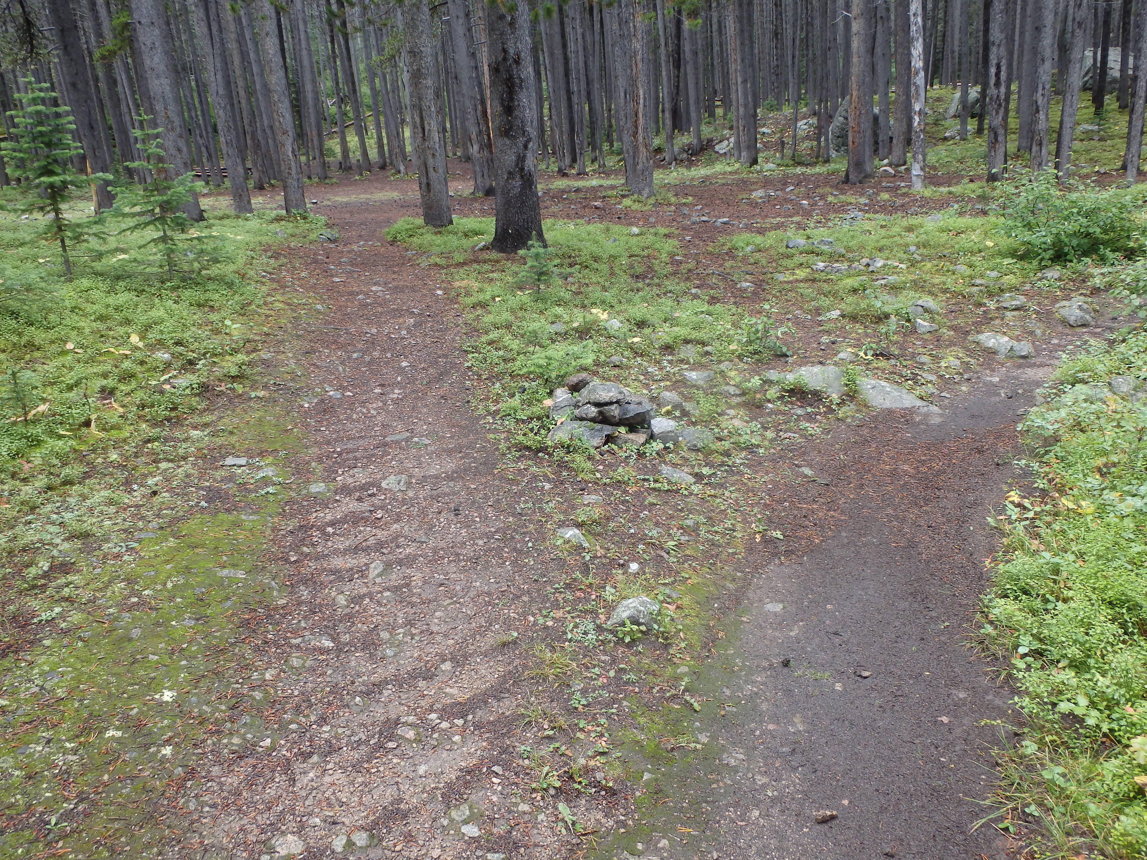
At about 3 miles from Mystic Lake, your next turn comes up. This turn is one of the trickier parts about the hike, since the trail is not marked or well defined. At Huckleberry Creek (a large creek that has a bridge built over it) turn left after crossing the bridge. There may not be a clear trail here- just try to stay about 100 yards from the creek, and hike uphill. The forest is pretty easy to navigate through, and the brush is not too thick at all. There is usually a maze of trails along this section- just keep the creek to your left as you hike uphill, and you will arrive at your destination in due time. About halfway up, most of the trails meet with each other, and you’ll find a more defined trail. After 1 mile from the Huckleberry Creek turn, the forest will give way to an open sky, and you’ll see the lake.
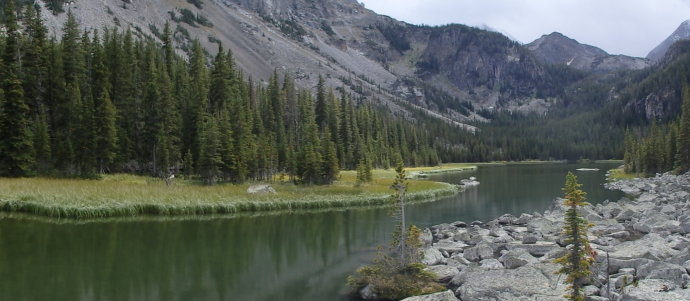
From here, you can rest on the rock field at the outlet of Huckleberry Lake, and either continue up the drainage to nearby Princess Lake, or spend the day here. The Rainbow Trout at Huckleberry Lake are nice, and usually don’t disappoint. When you’re ready to head back to civilization, head downhill from Huckleberry Lake, until you reach the trail at Mystic Lake.
Pictures of Huckleberry Lake, and the Trail
 Bridge over Huckleberry Creek |
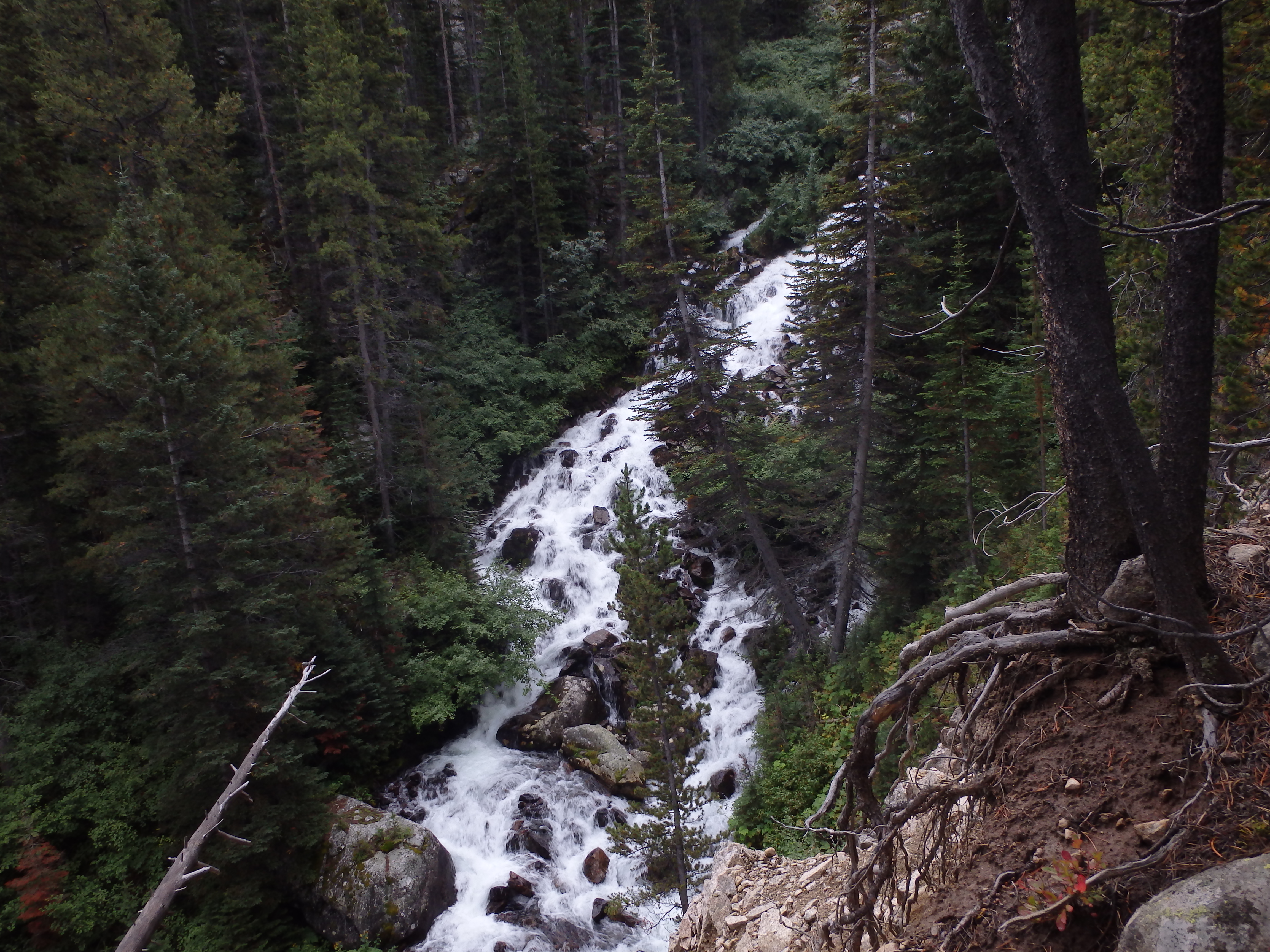 Huckleberry Creek |
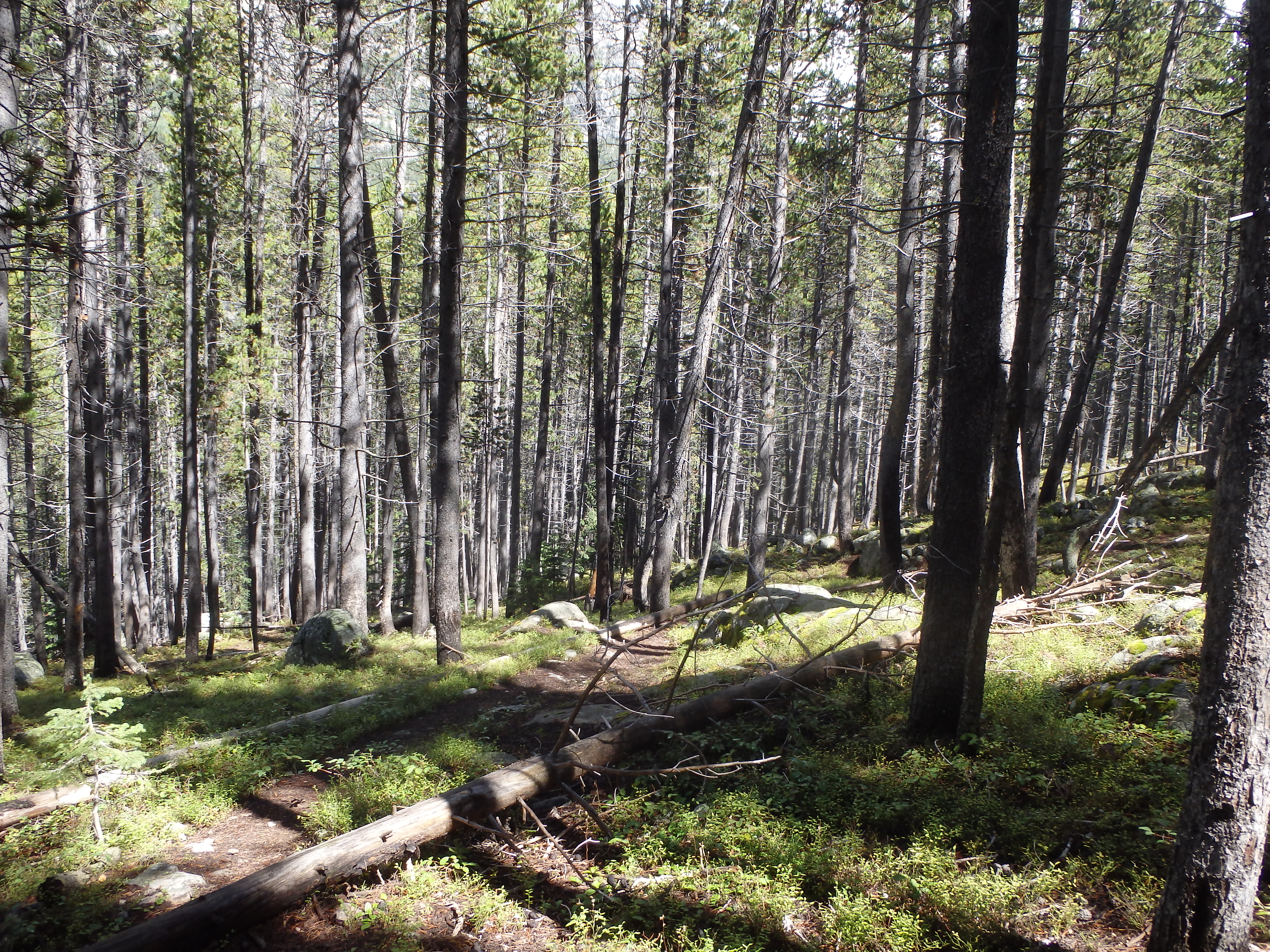
 Trail to Huckleberry Lake |
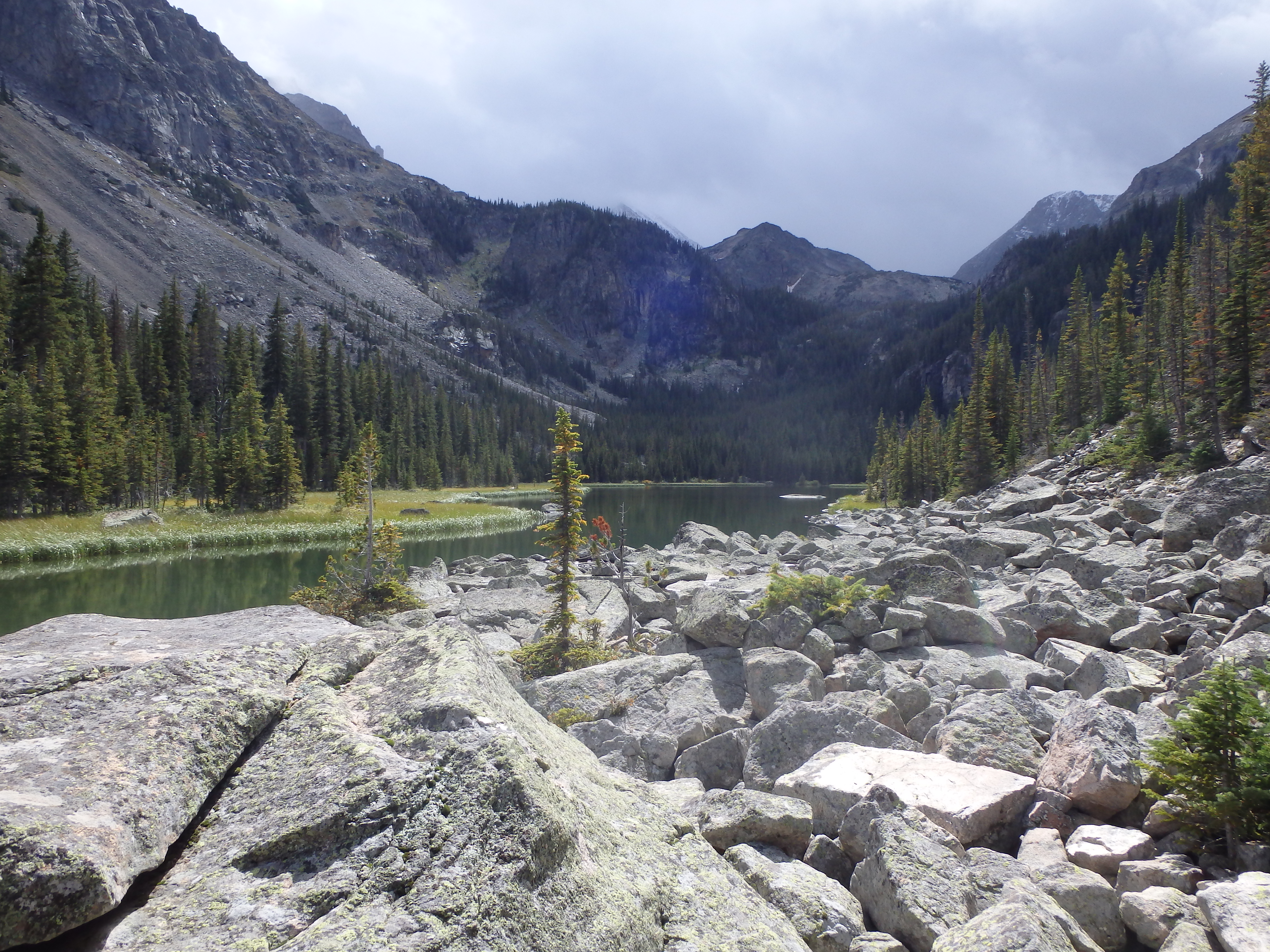 Huckleberry Lake |
 Trail just after Mystic Lake, an uphill maze of trails |
 Mystic Lake- Beartooth Mountains |
Directions to the Trailhead
From Absarokee, head south of town on Highway 78. Turn right a couple of miles outside of Absarokee, onto Highway 419 (there will be a gas station at this turn). Drive down Highway 419 for 6 miles, passing through Fishtail. Once you drive through Fishtail, drive one more mile down Highway 419, and then turn left onto West Rosebud Road. Follow this road for seven miles, turning left at the sign to Mystic Lake. Travel down this gravel road for about 14 miles (passing Emerald Lake and West Rosebud Lake), and park at the trailhead. This is the end of the road (the rest of the road is closed to the public), and the trailhead is easy to find.