Fox Lake- Beartooth Mountains
Fox Lake
Fox Lake- Beartooth Mountains
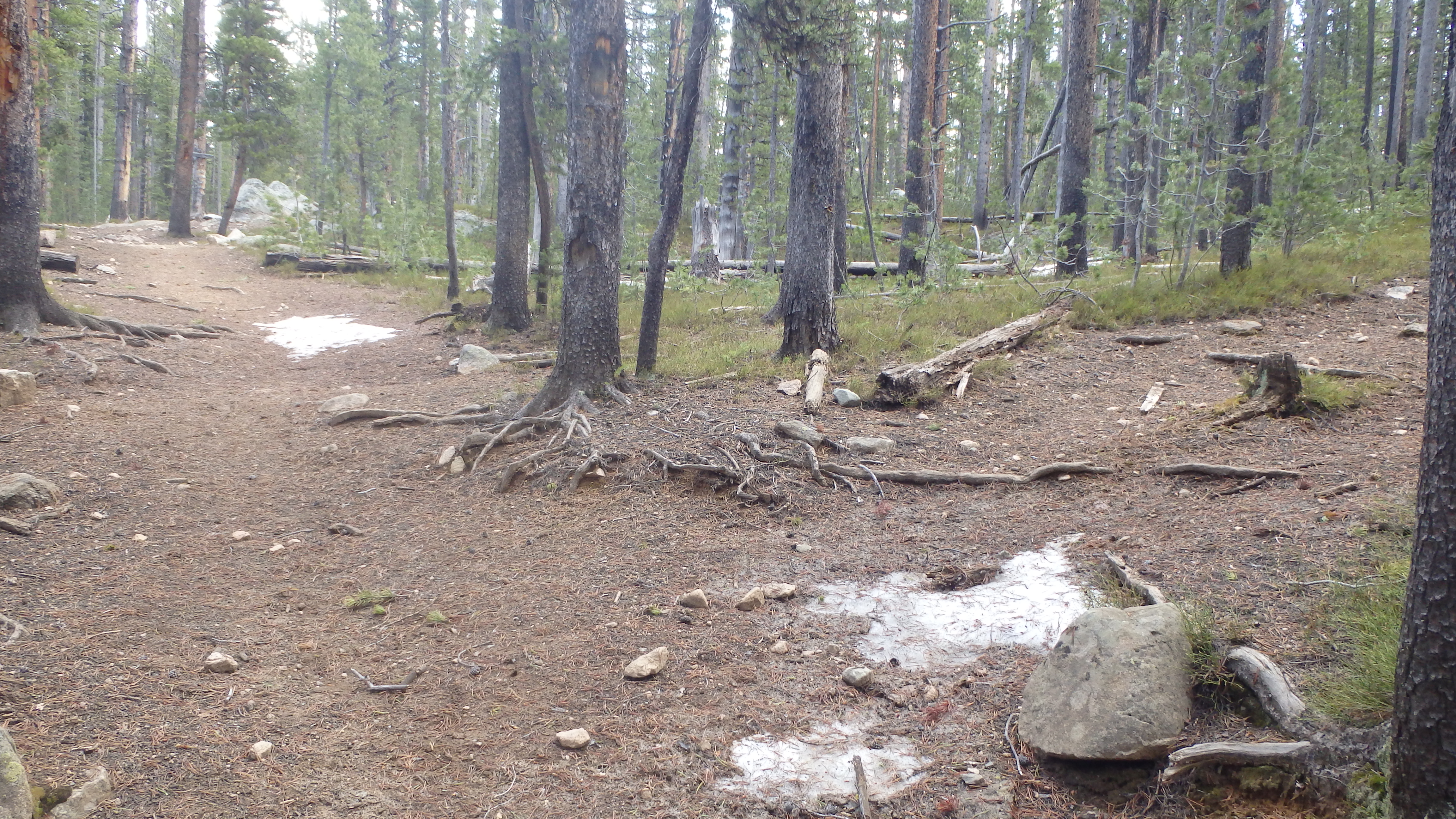
Fox Lake, located in the Beartooth Mountains, is suitable for a day hike, an overnight stay, or a base camp. Located just 4 miles from the trailhead, Fox Lake is a quick hike for conditioned hikers. In the mid season (July), the busy trail is easy to follow, and well marked. This may not be true in the early season (early June), where traffic is almost nonexistent, the trail is harder to follow, and snow drifts still block the trail in many places.
Regardless of when you hike to Fox Lake, you’ll want to bring proper protection against bears. Grizzly bears are common in the area, as are moose. You’ll want to be prepared for this with either bear spray, or a suitable alternative. This area (Cooke City) is notorious for bear attacks, and this trail will lead you 4 miles into bear country. When you drive to the trailhead, you’ll be reminded of this fact. Campgrounds in the area do not allow tent camping because of bear attacks, and many signs along the highway will remind you to properly store your food when camping.
Once you’ve driven past the many beautiful lakes and streams along the Beartooth Highway, you’ll turn onto the Clarks Fork Trailhead. There are two parking lots for this trailhead (and two trails), so be sure that you turn onto the first trailhead on the right if you’re coming from Red Lodge, or the second trailhead on the left if you’re coming from Cooke City. You’ll know if you’re at the correct trailhead if you see a Flume Trail sign at the trailhead. The trail shares a few hundred feet with the Flume Trail, after which you will have the opportunity to turn right to stay on the Clarks Fork Trail (Trail 3).

Bridge over the Clarks Fork Yellowstone River.
After this turn, you head uphill for a few yards, and cross a sturdy bridge over the Clarks Fork Yellowstone River as it tumbles out of the narrow gorge. I always have trouble hurrying over this part of the trail- it’s impressive to watch water slowly enter the gorge upstream, and then quickly fall into the gorge and rush out of sight. Resisting the urge to stay here, continue across the bridge to the other side.
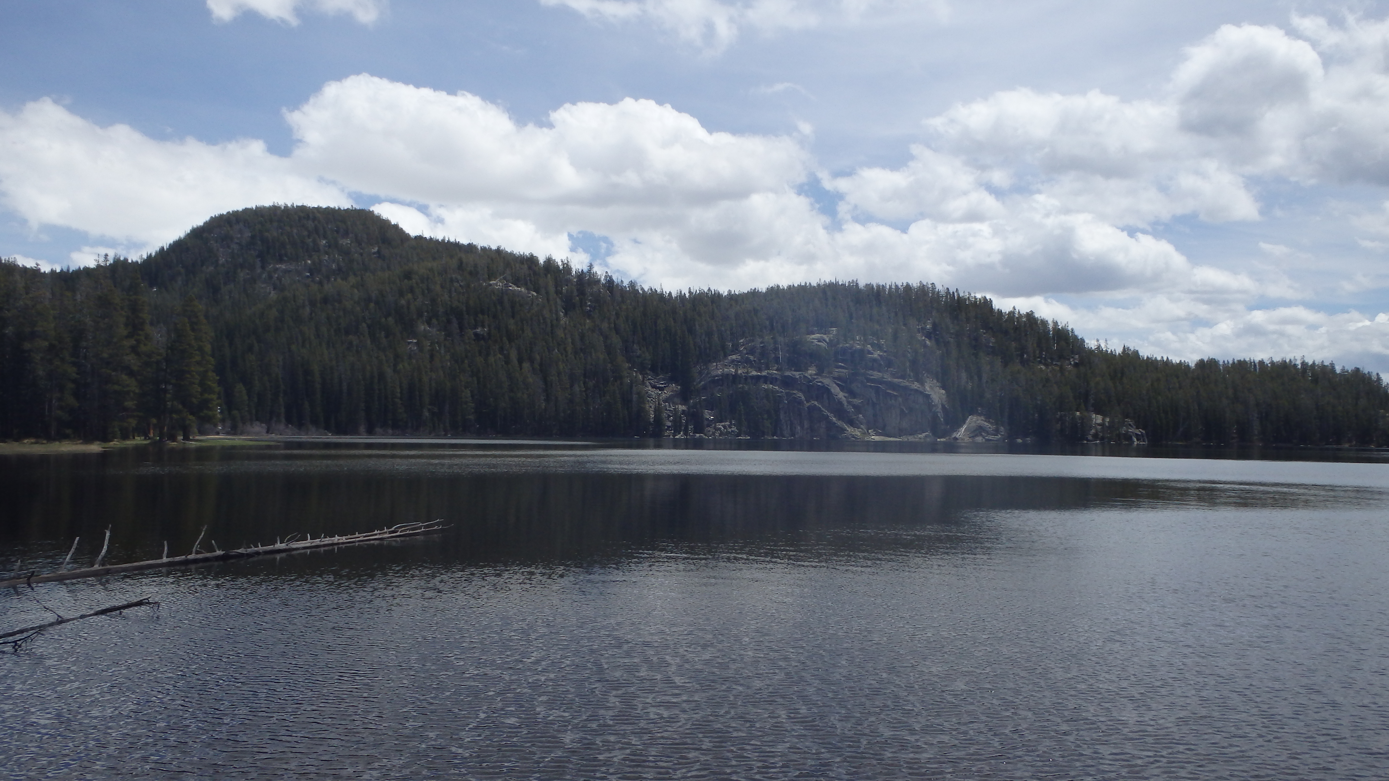
After a few hundred yards, the trail will parallel another trail- the Kersey Lake trail. Stay on the right (the single track trail), and you will not accidentally end up at the wrong lake. After approximately 3/4 miles from the trailhead, the Kersey Lake trail turns north, and you continue heading east. As you hike along this section of the trail, a turn will soon appear on the right for Vernon Lake. Continue heading east on Trail 3, and arrive at the southern shore of Kersey Lake after 1.5 miles. The trail climbs upward at this point, giving you a great view of Kersey Lake. Take the time to stop for a break here, and watch for wildlife- moose are common in this area.
View of Kersey Lake, from Trail
Continuing along the southern shore of Kersey Lake, the trail climbs 200 feet above Kersey Lake, and then immediately heads downhill. Once you reach the meadows at the eastern side of Kersey Lake, you have lost all the elevation that was gained in the last 3/4 of a mile. The trail now leads through meadows and marshes- one large meadow is an excellent spot to watch wildlife, and the forest service was kind enough to place a sturdy walkway across the meadow.
Trail to Rock Island Lake (continue straight)
After the meadows, the trail again starts climbing through a mature forest. You’ll see a sign for the Absaroka-Beartooth Wilderness boundary at this point, and then see two turns on the right- one for Rock Island Lake, and one for Crazy Lakes. Ignore both of these, and follow the trail, bearing left onto Trail 567 (Russell Creek).
For the next mile, the trail gains some elevation, and curves around a large marsh. At 3.5 miles, the small sign for Fox Lake appears, and the trail immediately heads downhill. Take your time on this part- it is all too easy to slip and twist an ankle on this section of the trail. As you head downhill, try not to think about the climb that awaits you when you leave Fox Lake.
After a short hike down to Fox Lake, you arrive at the northern shore. From here, you can try your luck at fishing for Rainbow and Brook Trout, camp (there is a nice site by the inlet, where Russell Creek flows into the lake), or setup a base camp (for day hikes to Russell, Rock Island, or Widewater Lake). When you are ready to leave Fox Lake, be sure to leave the lake as you found it (or better yet do a good deed and pick up someone else’s trash), and hike uphill to Trail 567. Tread lightly in this area- it is heavily used during the peak summer months (July and August), and requires everyone’s efforts to preserve this section of the wilderness.
Pictures of Fox Lake, and the Trail
 Bear Track on Trail |
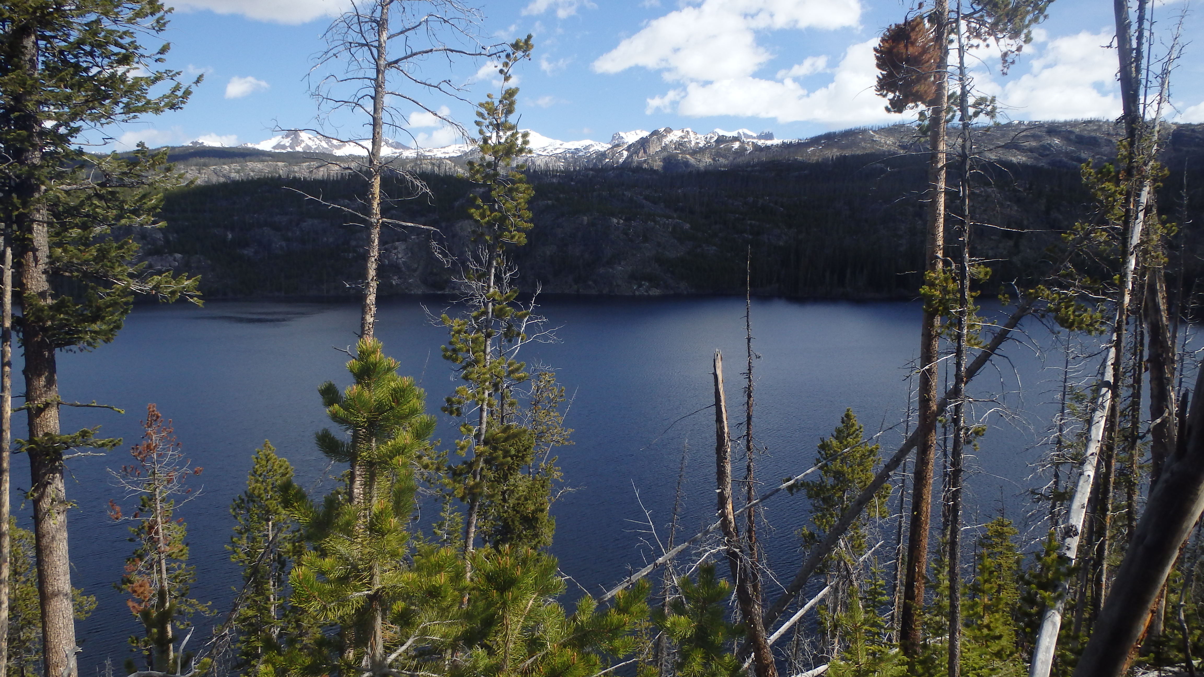
 Fox Lake |
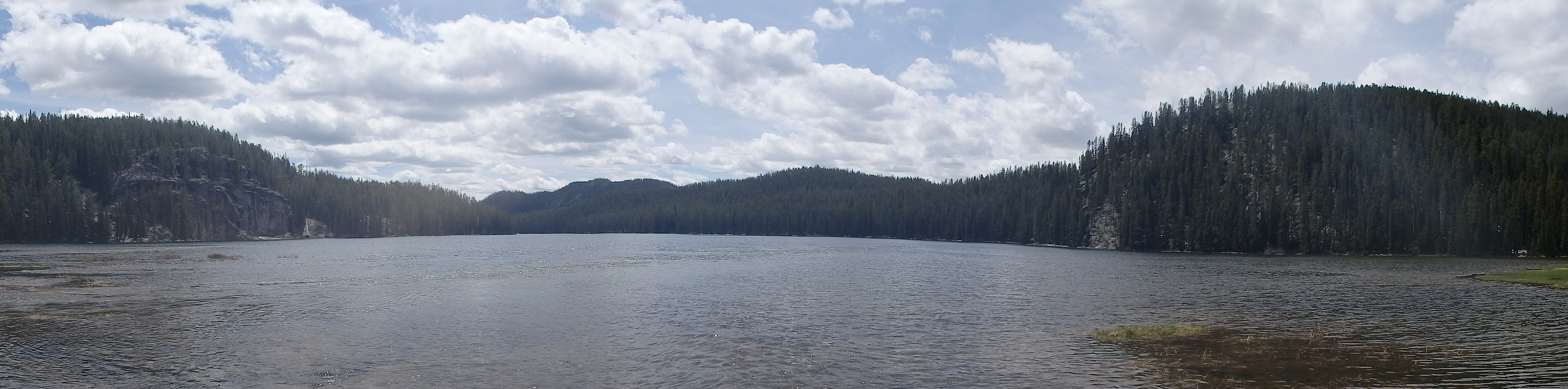 Fox Lake Panorama |
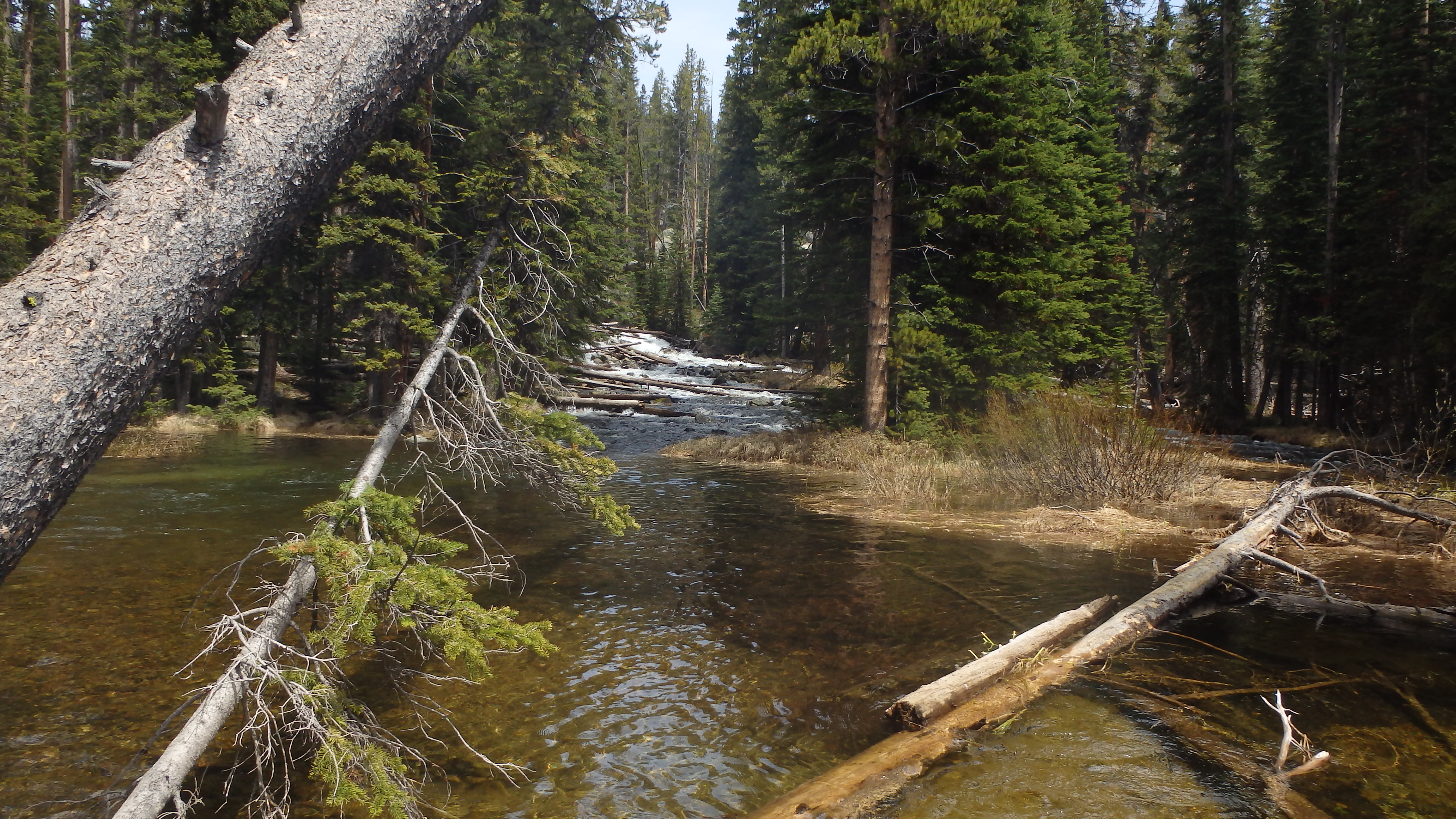 Russell Creek Inlet |
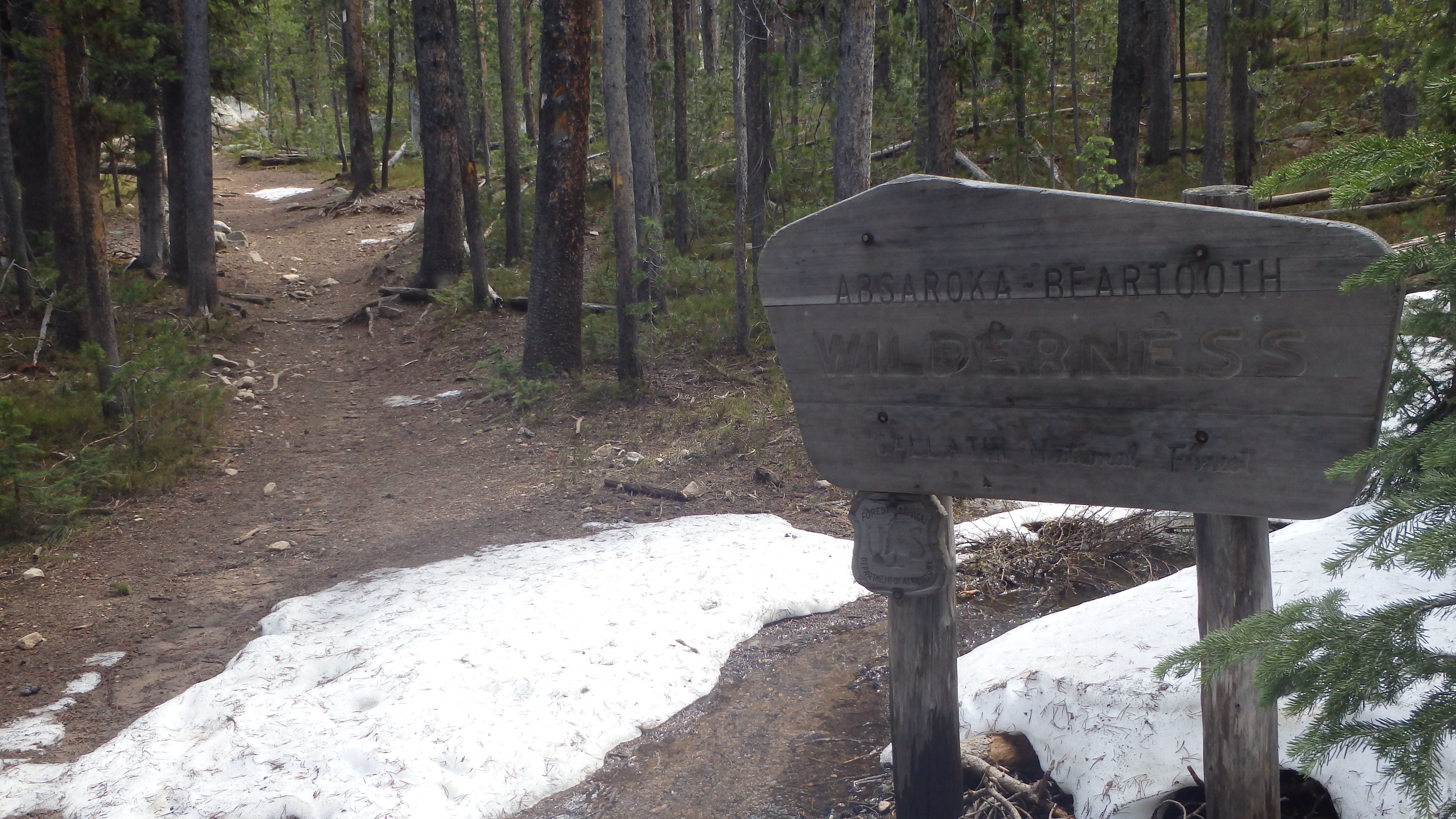 Wilderness Boundary |
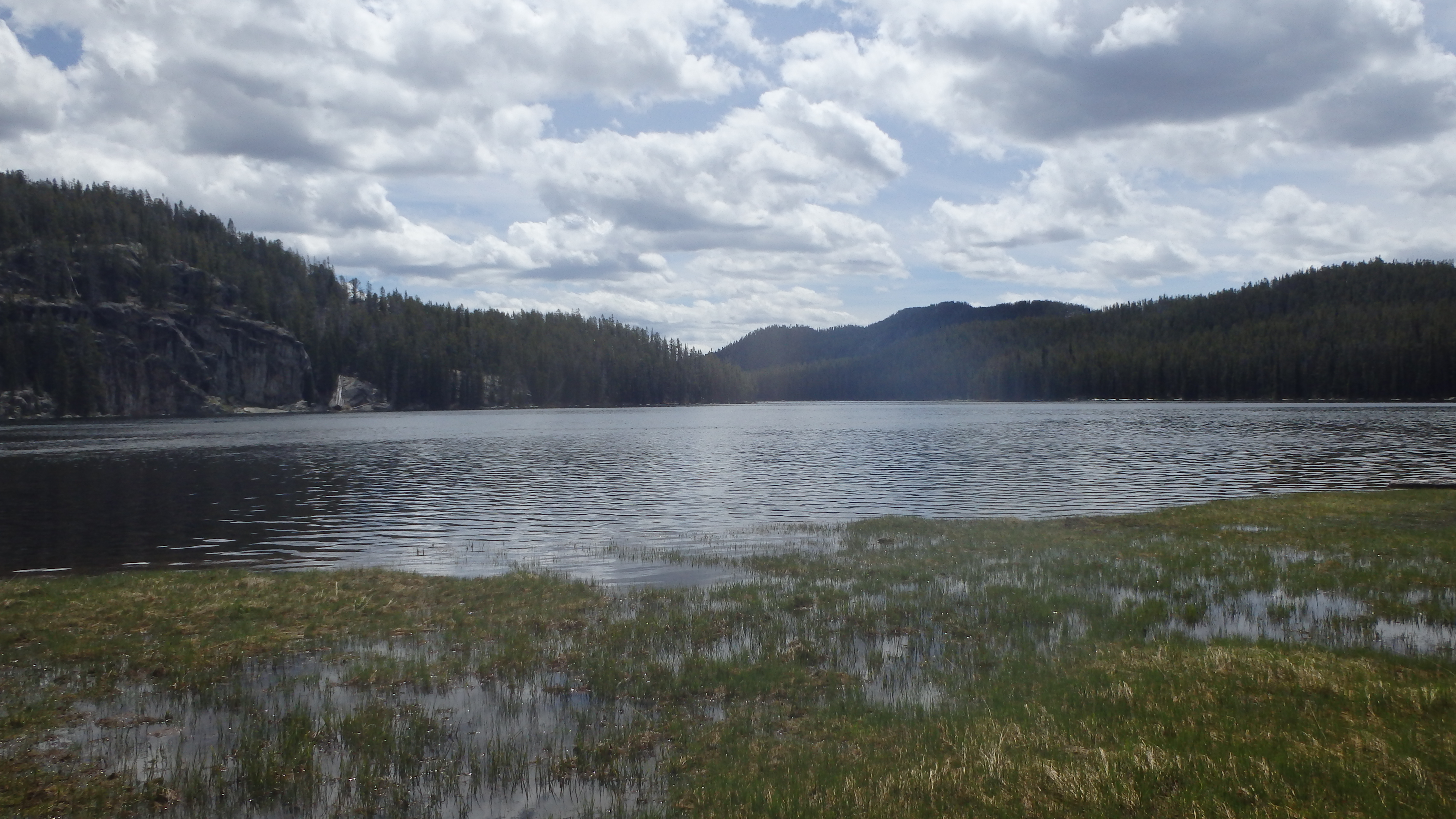
 Marsh at Fox Lake |
Directions to the Trailhead
From Red Lodge, drive on Highway 212 for 58.1 miles, or from Cooke City drive 3.4 miles to the well signed Clarks Fork Trailhead.
