Sioux Charley Lake- Beartooth Mountains
Sioux Charley Lake

Sioux Charley Lake
If you’re looking for a nice lake to hike with the family to, it’s hard to beat Sioux Charley Lake. Gaining a little under 600 feet over the course of three miles, the trail is relatively flat, and easy for children to hike. Add in the low elevation (Sioux Charlie Lake is at 5,651 feet), and it’s easy to see why this lake is a popular early season hike.
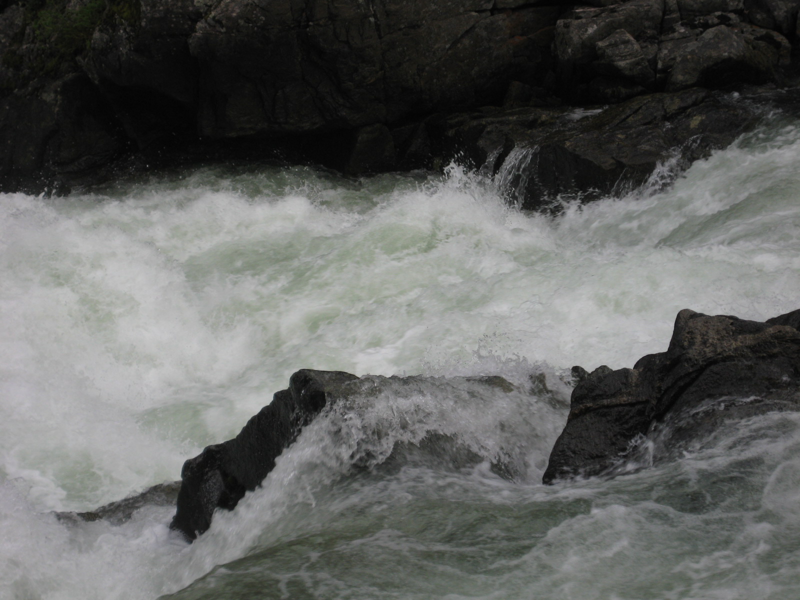
Starting at the large trailhead parking lot (this trail has plenty of parking for horse trailers, as well as cars and trucks), the trail starts off with a dramatic view of the Stillwater River. The best time to see this portion of the trail is in the beginning of June, at the start of the spring runoff. If you’re not in a hurry, take the time to sit and watch the rapids. They are impressive any time of the year.
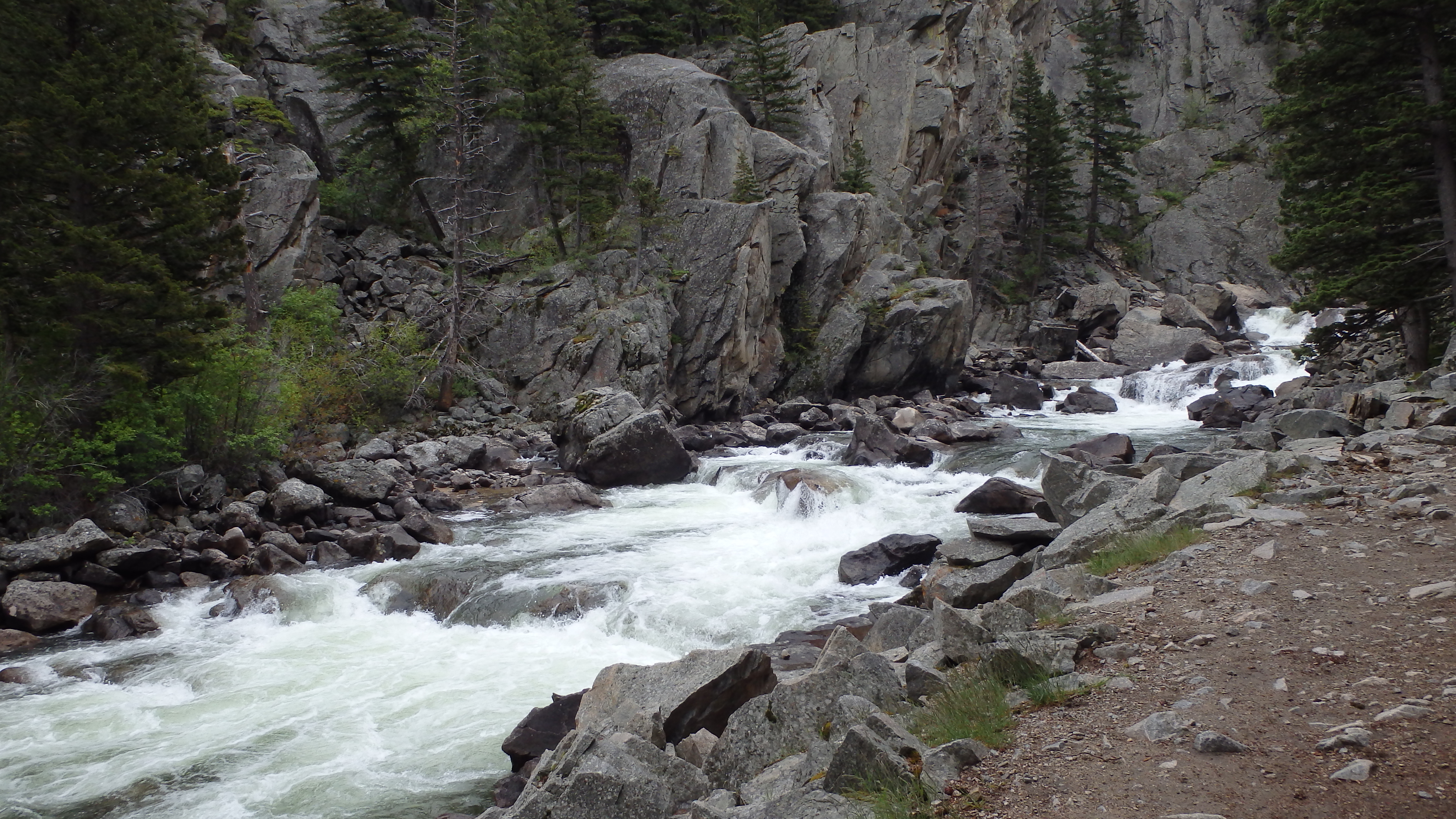
Stillwater River through the gorge, early spring (low water)
After the first quarter mile, you pass the wilderness boundary, which is always a good moment for pictures- especially of any children that are making Sioux Charley Lake their first hiking experience. From there, it’s another three miles of hiking this trail, with the Stillwater River keeping you company the first 2 miles. The trail itself is cut out of the rock cliffs near the river, so the hiking can be bothersome for hikers wearing tennis shoes, or any other improper hiking footwear. There are some pretty promising looking fishing holes here, but the best fishing hole along this part of the river is a small pool that lies about 30 feet from the river. It’s on the left just past the rock fields, and it’s barely visible from the trail.
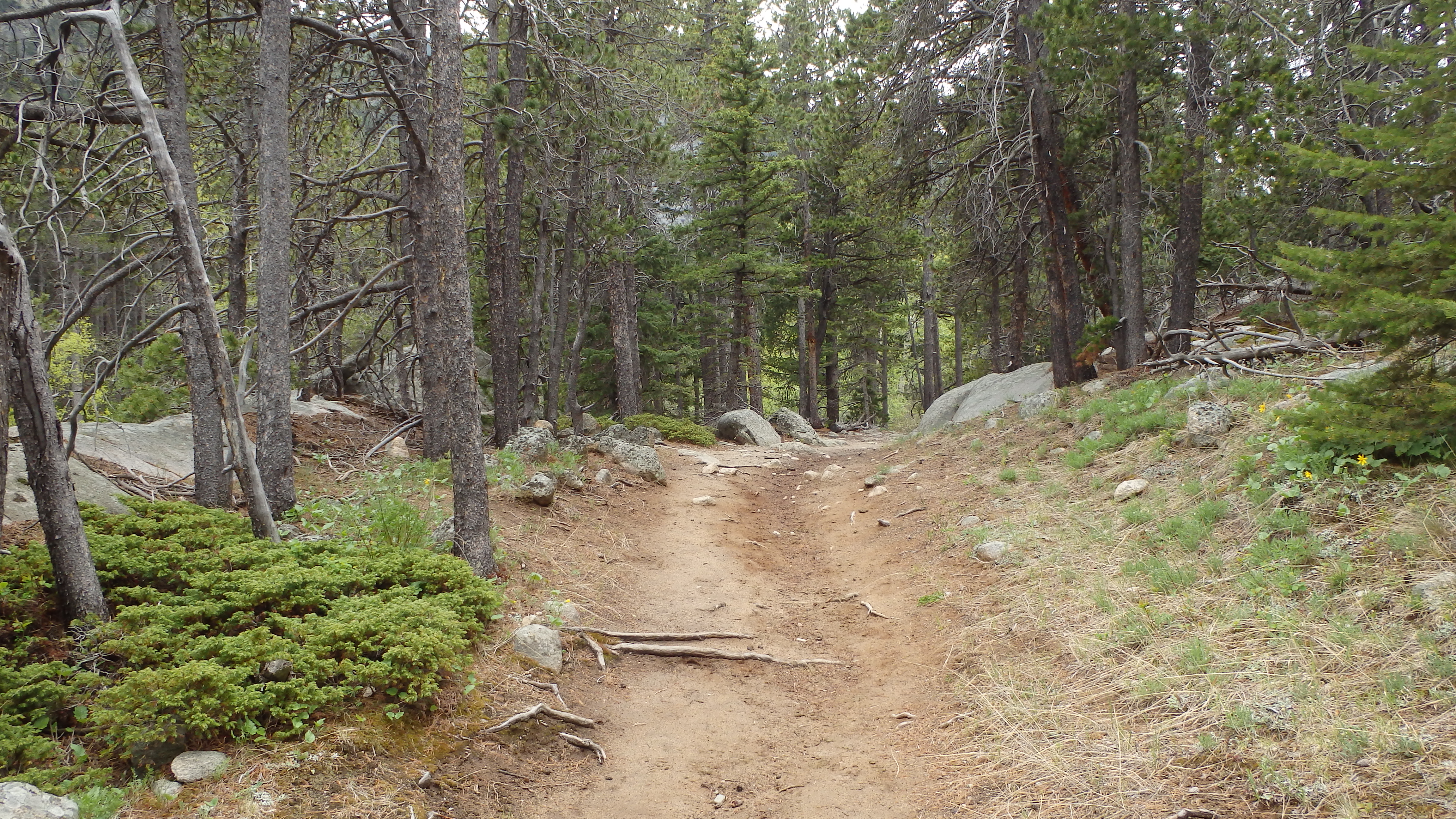
After the rock fields (don’t worry, no boulder hopping here), the trail cuts into the forest. From here, it’s about another mile to the lake. This is the steepest part of the trail, climbing about 180 feet above Sioux Charley Lake. After this short climb, you’re greeted with a view of Sioux Charley Lake, through the trees. It’s another quarter mile to the lake, which is brushy to access. If you’re planning on fishing at Sioux Charley, be prepared to deal with muddy brush.
There are quite a few campsites at Sioux Charley Lake, but I wouldn’t recommend it. To me, the high traffic of this hike would make camping at it an irritation. Instead, Sioux Charley is an excellent lake to visit on a day hike. If your heart is set on camping here, I’d recommend the sites at the end of the lake, which are the proper distance from the lake (300 feet, by forest service regulations), and they receive less traffic.
The fishing at Sioux Charley is, in my opinion, overrated. Brook Trout are common here, as are Rainbow Trout, but they are not very large at all (you’ll be throwing more back into the river, than keeping). The average size here is in the 6 inch range, and the muddy/brushy shoreline makes for a difficult cast. There are some good looking spots at the inlet of the lake, but they are not very productive. My recommendation would be to fish the river, which has in my experience always been more productive than Sioux Charley Lake. On your way back home, be sure to check out nearby Woodbine Falls, which is only a 0.8 mile hike to the falls (1.6 miles round trip).
Pictures of Sioux Charley Lake, and the Trail
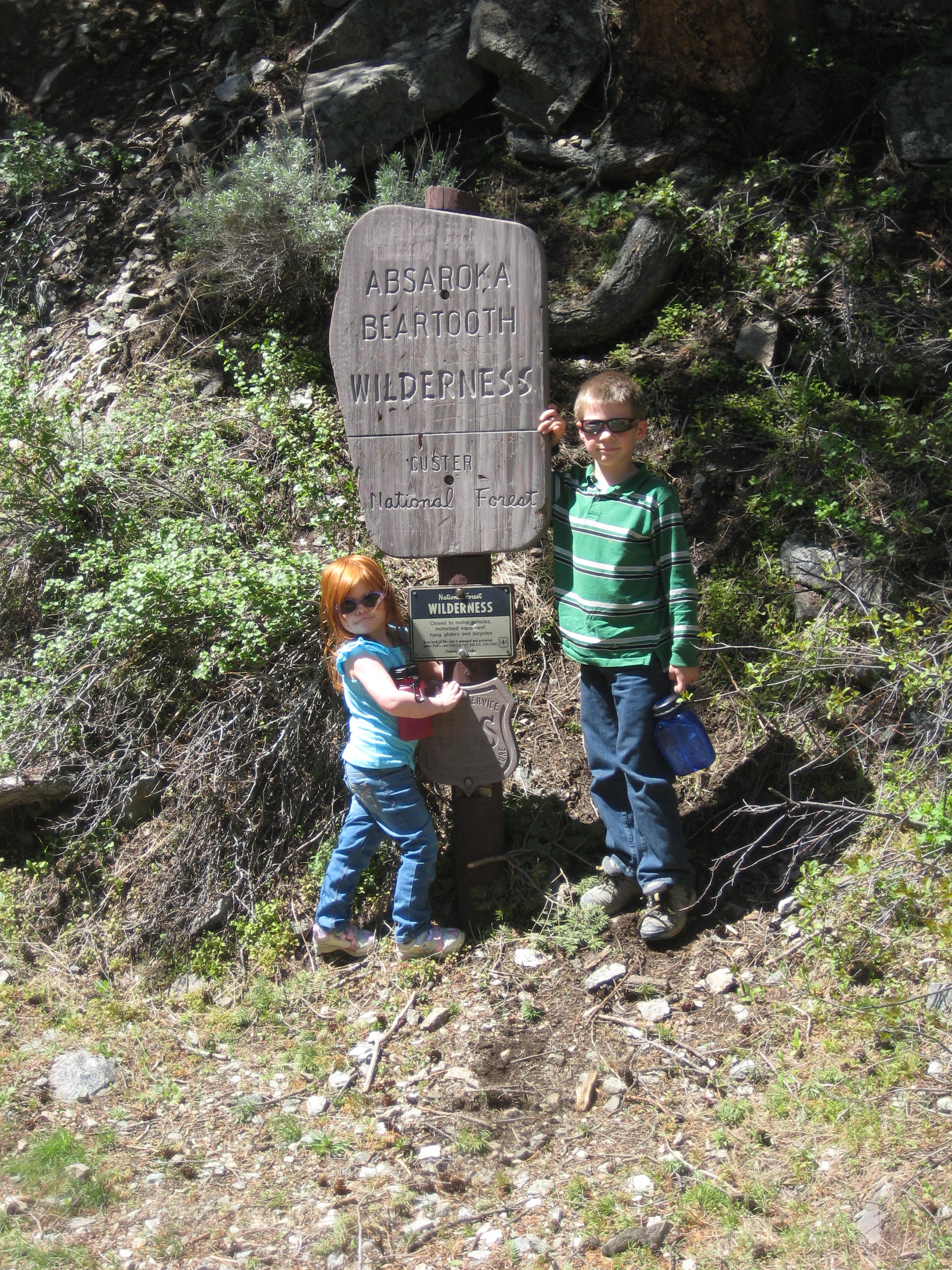 Absaroka-Beartooth Wilderness Boundary on trail |
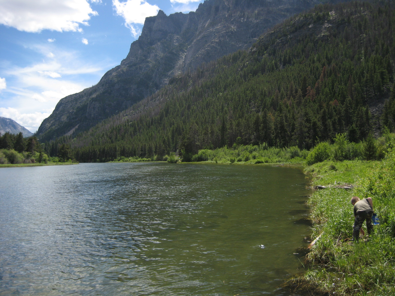
 Stillwater River, on the trail to Sioux Charley Lake |
 Trail to Sioux Charley Lake |
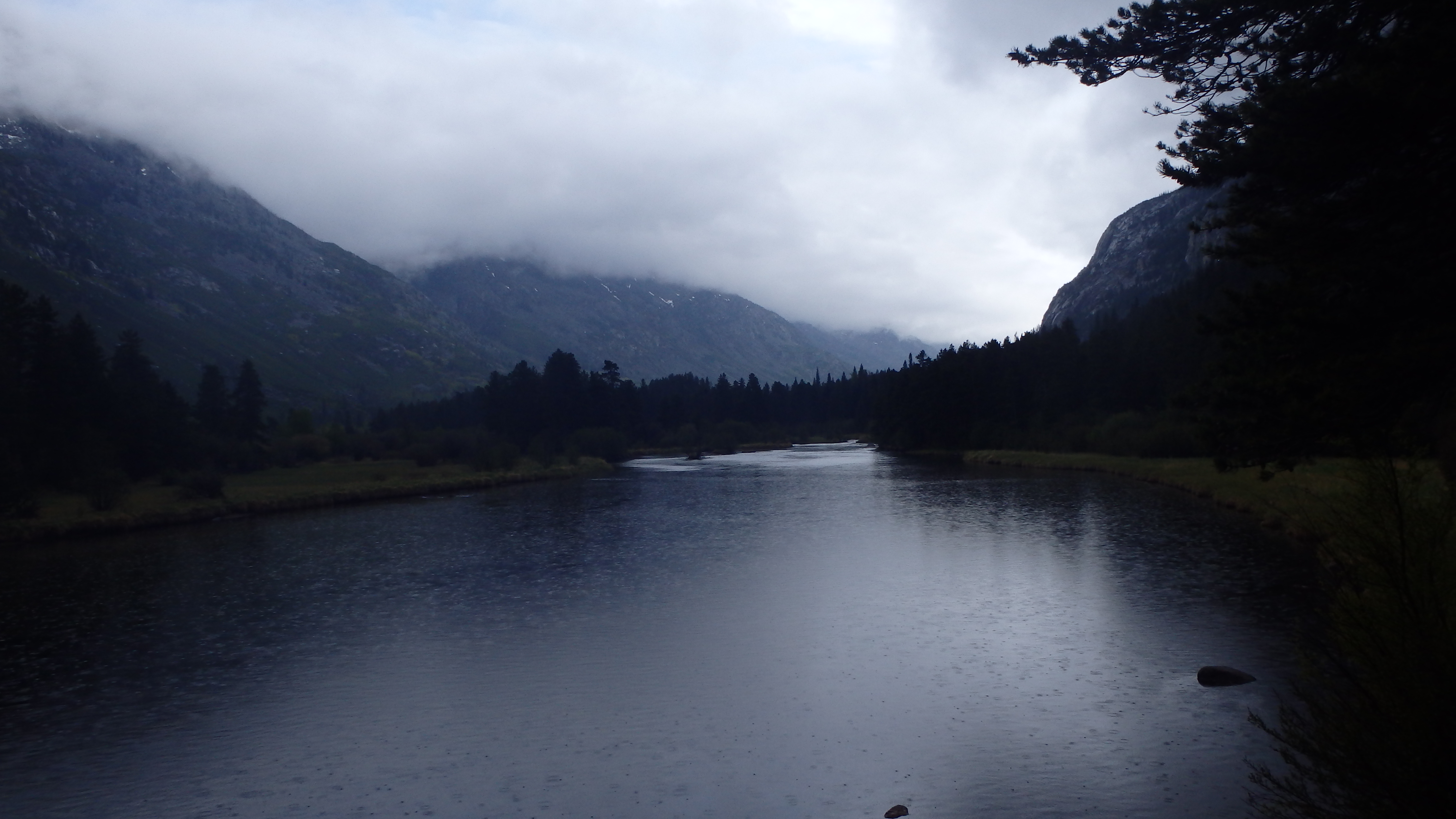 Sioux Charley Lake, after a brief rainstorm. |
 Sioux Charley Lake |
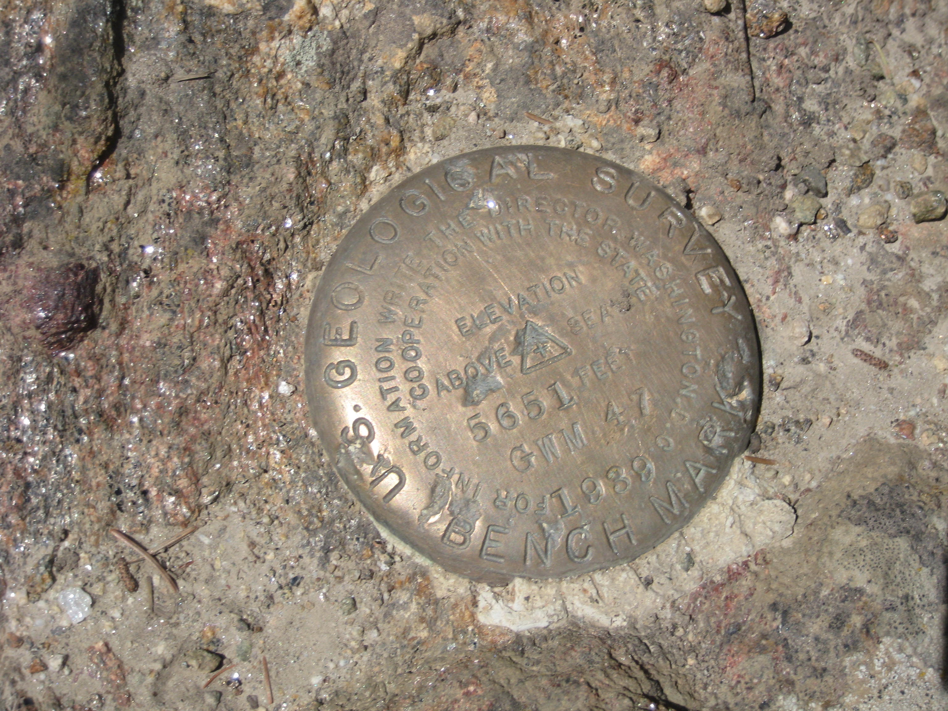 USGS Marker at Sioux Charley Lake |
Directions to the Trailhead
From Absarokee, turn on highway 419 towards Nye. Continue on this road past Nye, and the forest boundary. The trailhead is a few more miles down this road, past Woodbine Campground (bear to the right). The road is paved all the way, and in excellent condition.
Map to the Sioux Charley Trailhead