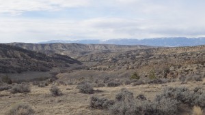
Cottonwood Road BLM- Pryor Mountains
Author: chris | Category: Easy Day Hikes, Hiking Trails in the Pryor Mountains, Montana Hiking Trails | Tags: Easy Day Hikes, Pryor Mountains
Cottonwood Road BLM
Most people think of a beautiful lake or a scenic alpine view, when they think of hiking. They imagine a beautiful drive to the trailhead, where they might see a cascade of water rushing down the valley, or evergreen forests that surround the road. Most people overlook the Cottonwood Road area, which is equally beautiful in its own right. Covered only with sagebrush and a few juniper trees, Cottonwood Road’s beauty is something you have to hike away from the road to appreciate.
01 Apr 2016

