South Cottonwood Creek Trail: Gallatin Range
South Cottonwood Creek Trail: Gallatin Range
South Cottonwood Creek Trail
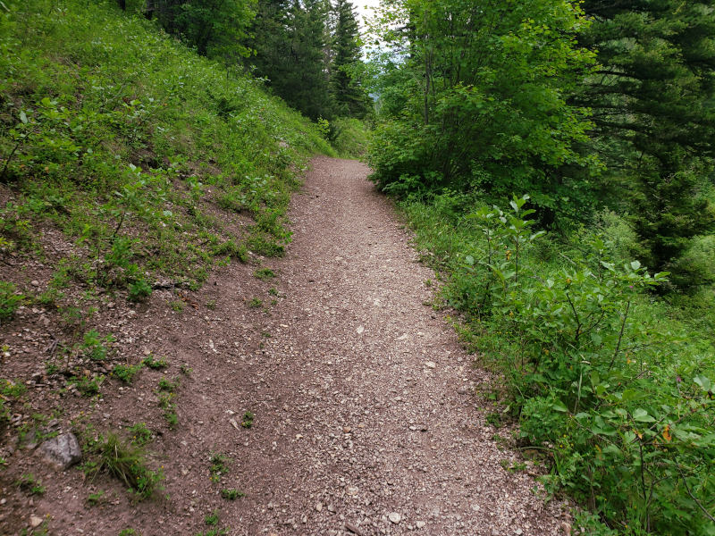
South Cottonwood Creek Trail runs through the heart of a network of trails just outside of Bozeman. Although there are numerous side trips and options that you have on South Cottonwood Creek Trail, the most popular option is a quick and scenic day hike through the forest, crossing over three bridges that lead over South Cottonwood Creek. This quick hike is popular, while being relatively short– it is only 2 ½ miles to the third bridge. That being said, most day hikers prefer to spend less time on this trail and only hike along it for one or two miles. Regardless of which option you choose, the trail begins at the end of Cottonwood Creek Road.
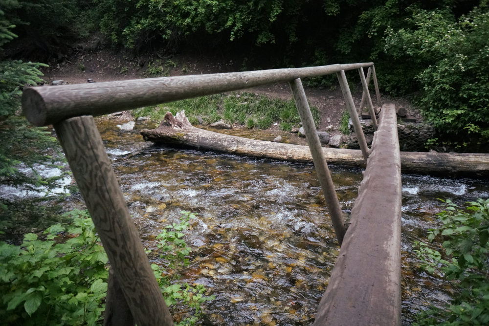
Bridge on South Cottonwood Creek
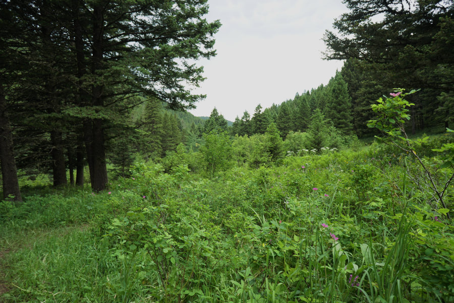
Leaving the spacious parking lot, the trail briefly heads uphill. Most of this hike meanders next to South Cottonwood Creek; refilling your water bottle won’t be a problem on this section of the trail. The trail leads through several meadows and patches of spruce trees, and is a great hike for kids or older hikers. The only obstacles along this portion of South Cottonwood Creek Trail are three bridges, but they are well-built and sturdy. You won’t get your feet crossing the creek on these bridges, which is more than can be said for some of the other nearby trails. This is one of my shortest hiking guides for a reason– the first 2.5 miles of South Cottonwood Creek Trail are best described by the pictures that were taken along the trail.
South Cottonwood Creek

South Cottonwood Creek Valley

South Cottonwood Creek Valley
Directions to the Trailhead
From Bozeman, drive on S 19th Ave for approximately 7 miles. Turn left at the stop sign onto S Cottonwood Creek Road. Travel another two miles, and then turn left onto Cottonwood Canyon Road. Drive another two miles down to the end of the road, which is the trailhead.
