Rock Island Lake- Beartooth Mountains
Rock Island Lake

Rock Island Lake
Located near Cooke City on the famous Beartooth Highway, Rock Island Lake is an excellent choice for a day hike, or relaxed fishing in the wilderness. The hike is relatively short (6 miles round trip), on a trail that is mostly level (only gaining 270 feet at it’s highest point). The hike to Rock Island Lake also offers an excellent opportunity to view wildlife such as moose and deer. The trail is easy to follow, as long as you pay attention to the signs along the trail.

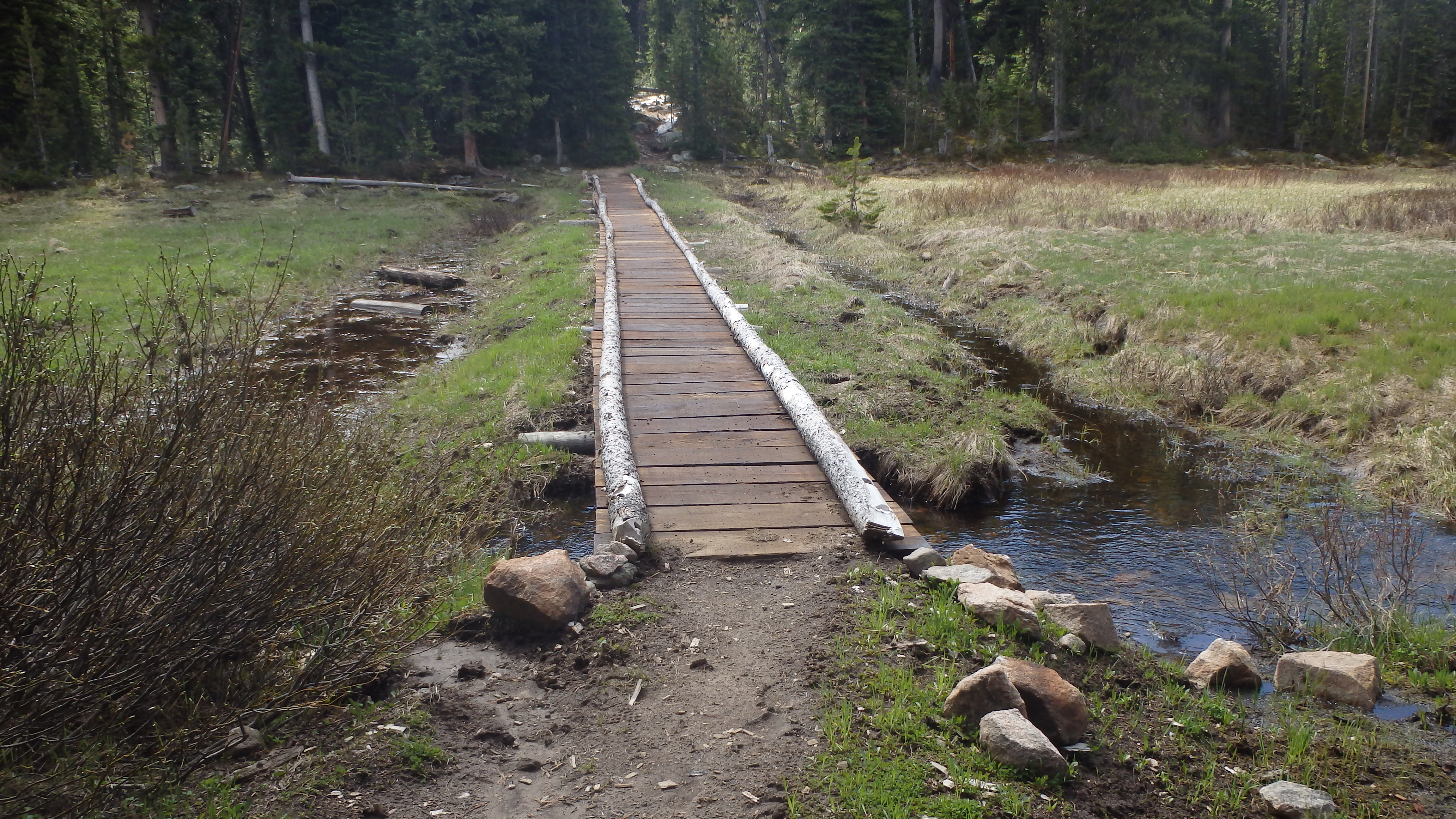
Bridge over the Clarks Fork Yellowstone River.
The trail starts out at the Clark Fork of the Yellowstone River, leading you over a sturdy bridge perched just above the rapids. The trail then leads to a different section of the same river, which resembles a small lake. The water here is calm and clear, much unlike the frothy rapids downstream. Resist the temptation to fish here, and continue hiking down the well groomed trail.
After 3/4 of a mile from the trailhead, you will see another trail on the left. Head uphill and to the right to stay on the Clark Fork trail- the other trail leads to nearby Kersey Lake. At this point, the trail becomes a single track trail that winds through the forest. At approximately a half mile from the Kersey Lake trail junction, the trail to Vernon Lake appears on your right. Stay straight on the Clark Fork trail, and you will soon be rewarded by seeing Kersey Lake off to your left.
This is a breathtaking part of the trail- the trail ascends nearly 200 feet above beautiful Kersey Lake, and you can see miles of wilderness before you. This is the highest point of the hike, and it hardly seems like it. As you hike this portion of the trail, be sure to scan the shore of nearby Kersey Lake for moose or bears- both of which are common in this area. From here forward, the trail intersects marshes and small ponds- perfect moose habitat.
Bridge at Marsh
After Kersey Lake, the trail leads to a large marsh, with a sturdy bridge over it. This is another great place to watch for wildlife, or refill your water bottles. The trail is drier further on, so this is a perfect opportunity to refill your bottle. Once you move past this portion of the trail, the grade steepens just a little.
Trail to Rock Island Lake
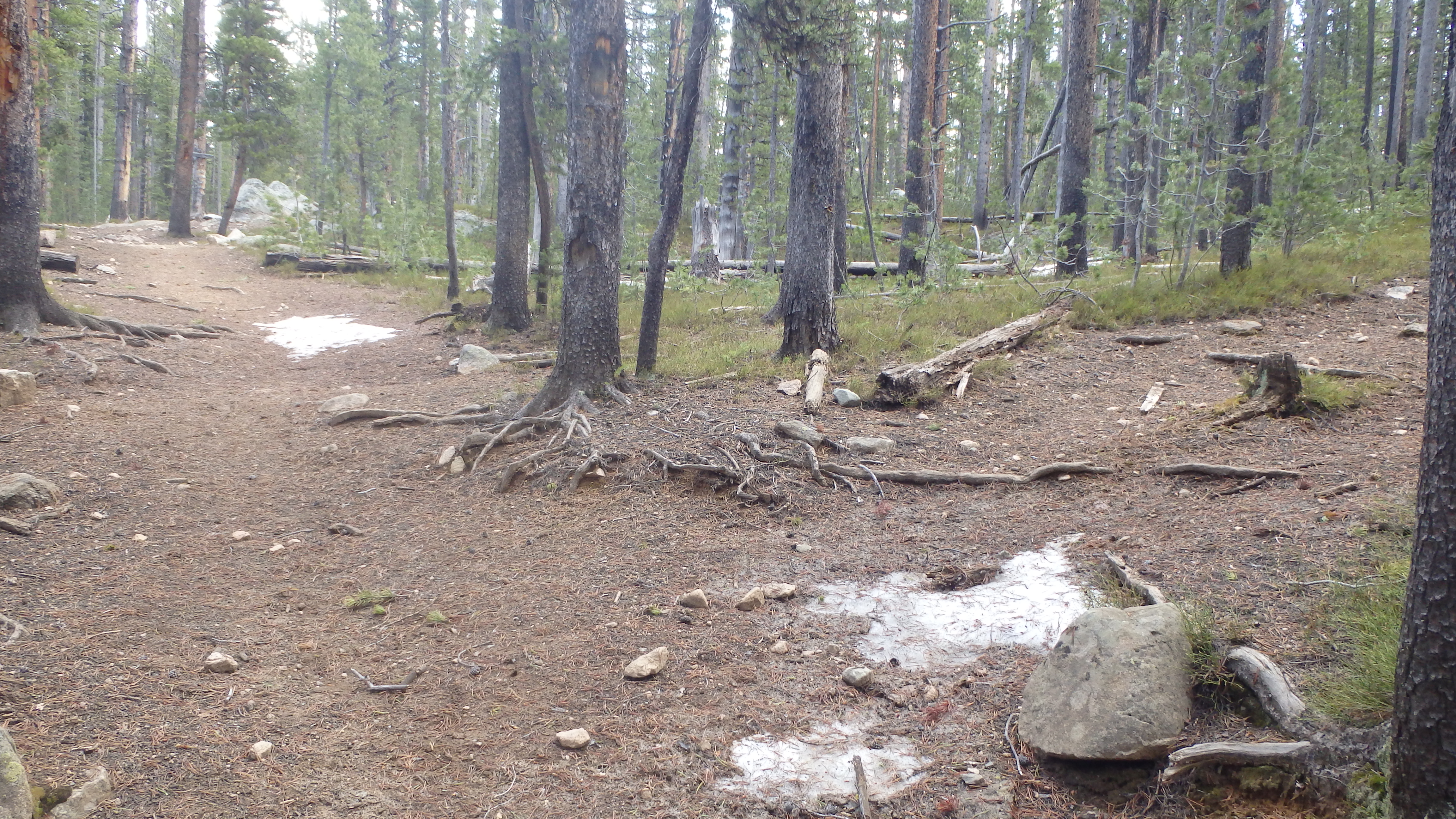
At 2.3 miles, the wilderness boundary appears. Immediately after, the trail can be somewhat confusing. Trail 566 appears on the right, which is the trail to Rock Island Lake. This turn can be hard to see, and you could hike past it easily. If you instead end up hiking about 100 yards uphill, another trail appears on the right, which leads to the Crazy Lakes. Turn here at trail 566, and hike the remaining 2/3 of a mile to Rock Island Lake.
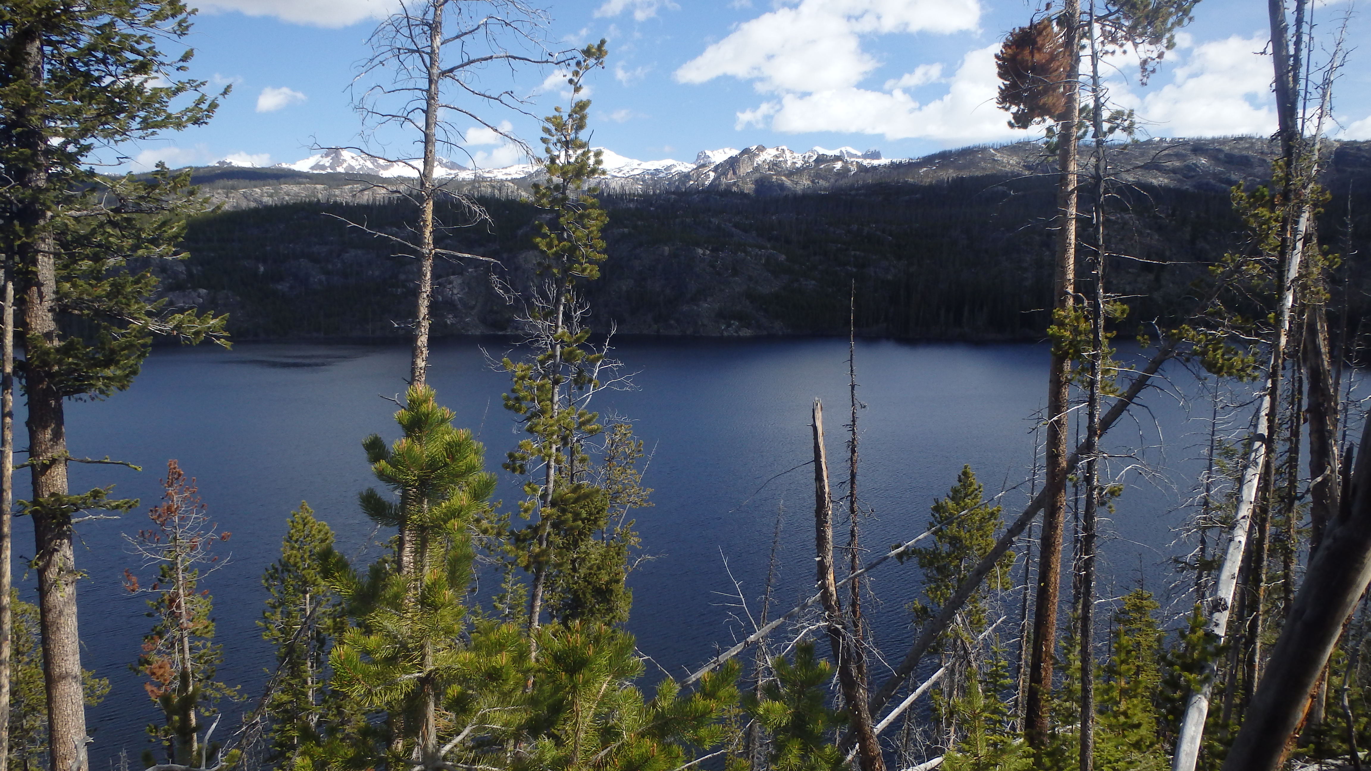
The camping at Rock Island Lake is limited, so this is a good destination for a day of hiking and fishing. The wildlife here will not disappoint- just be sure to have proper protection against bears and moose. Be thankful that although this lake is close to a major highway, it still is every bit wild. Once you have spent your afternoon at Rock Island Lake, follow the trail back to your vehicle at the trailhead.
Pictures of Rock Island Lake, and the Trail
 Deer at Meadows after Kersey Lake |
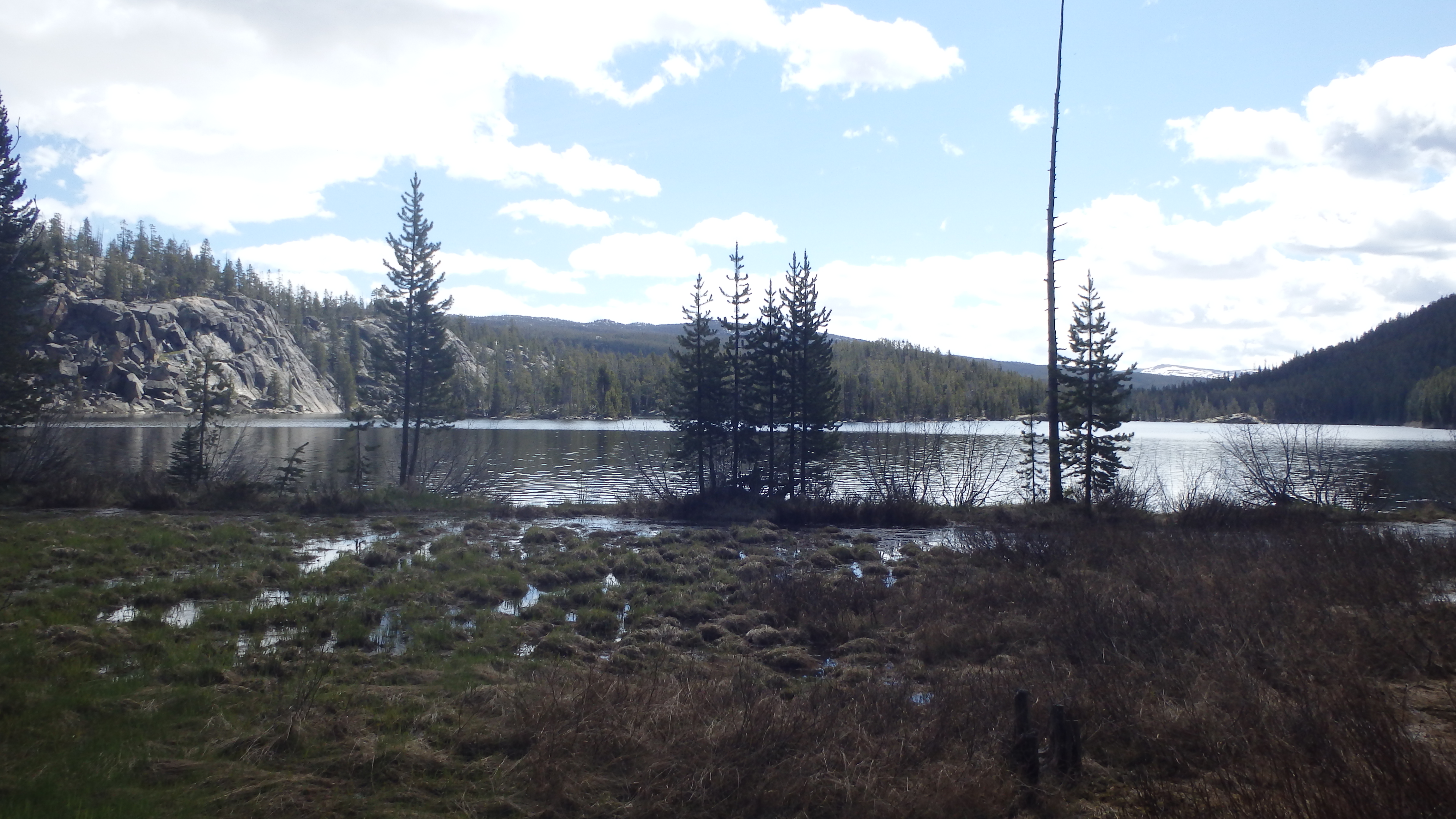
 View of Kersey Lake, from the Clarks Fork Trail |
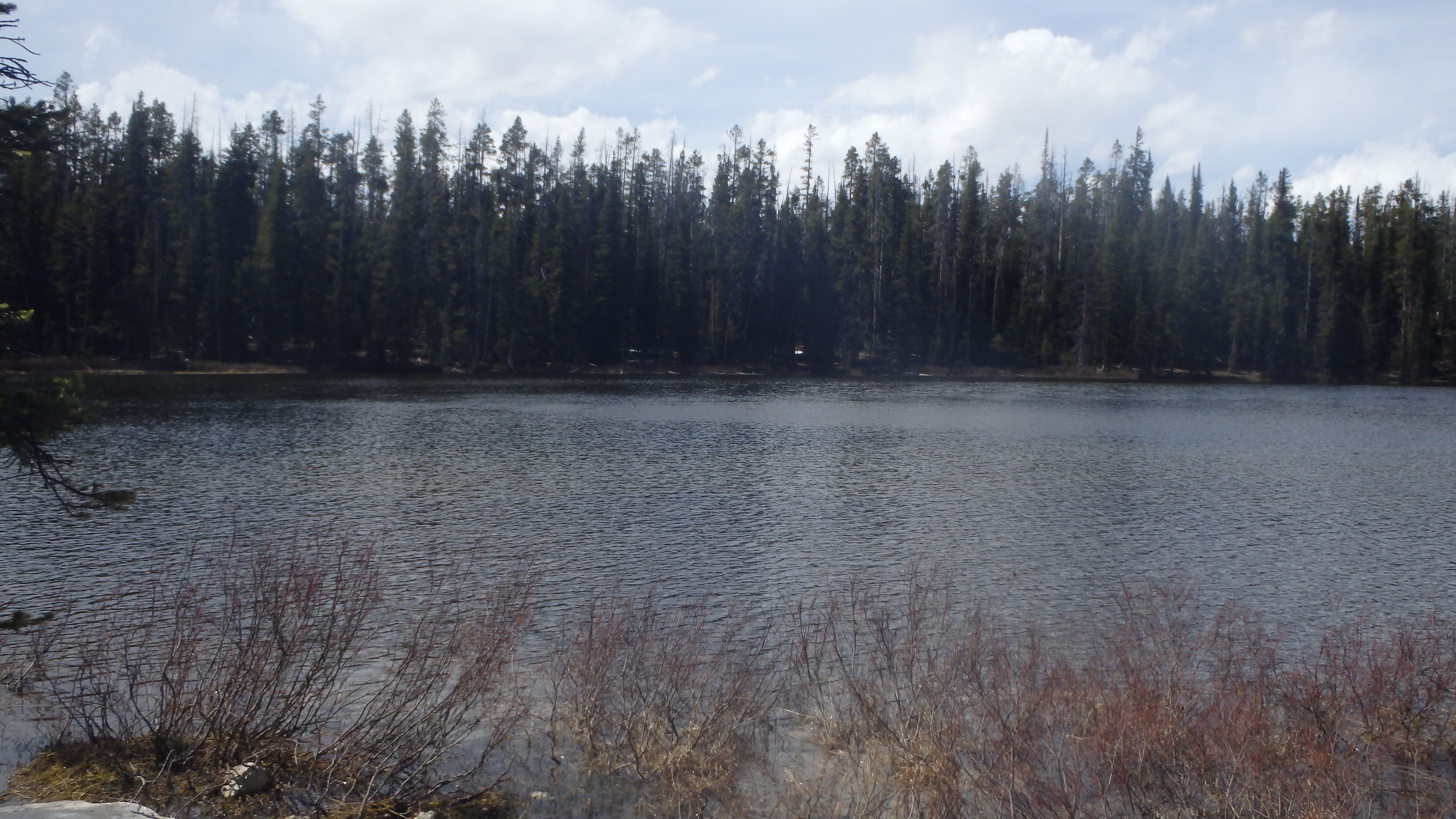
 Rock Island Lake |
 Rock Island Lake |
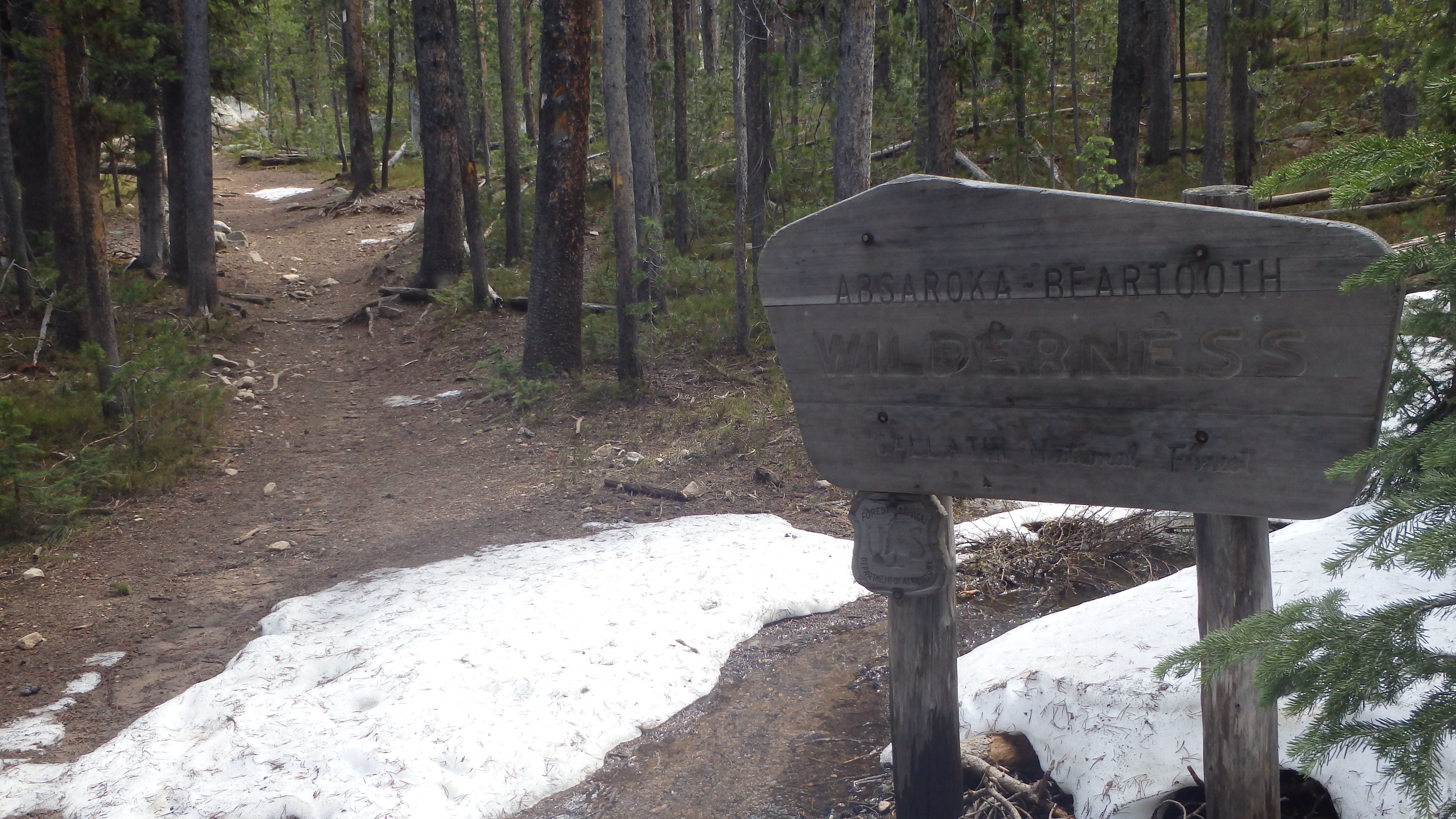 Wilderness Boundary |
 Clarks Fork of the Yellowstone |
Directions to the Trailhead
From Red Lodge, drive on Highway 212 for 58.1 miles, or from Cooke City drive 3.4 miles to the well signed Clarks Fork Trailhead.
