Moser Creek to Buckskin Creek Loop
Moser Creek to Buckskin Creek Loop
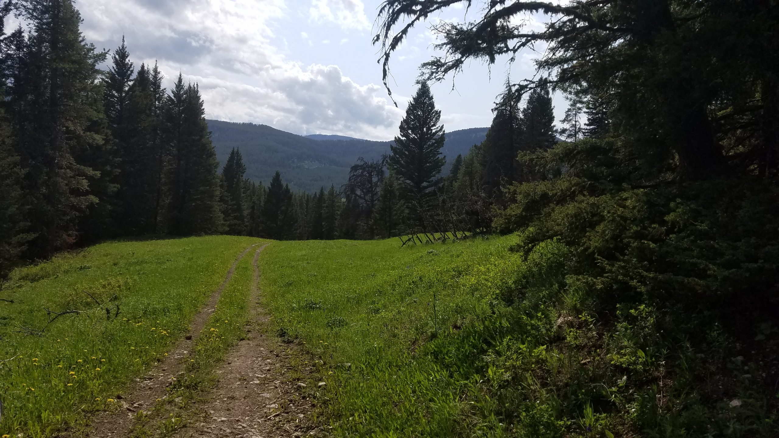
Buckskin Creek Meadow
This is a difficult hike to name since the hike runs along both Moser and Buckskin Creeks in Hyalite Canyon. Some guides refer to this hike as the Moser Creek Loop, while others stick to the more accurate name of Moser Creek to Buckskin Creek Loop. This trail has many side options to change the length of the trail, but the hike as described in this guide is an easy 5-mile loop. Along this trail, you will have plenty of opportunities to view wildlife or search for garnets and fossils. The Moser Creek to Buckskin Creek Loop is less popular than some of its neighbors in Hyalite Canyon, such as Heather Lake or Palisade Falls , making it one of the few day hikes that may allow you to spend most of the hike by yourself.
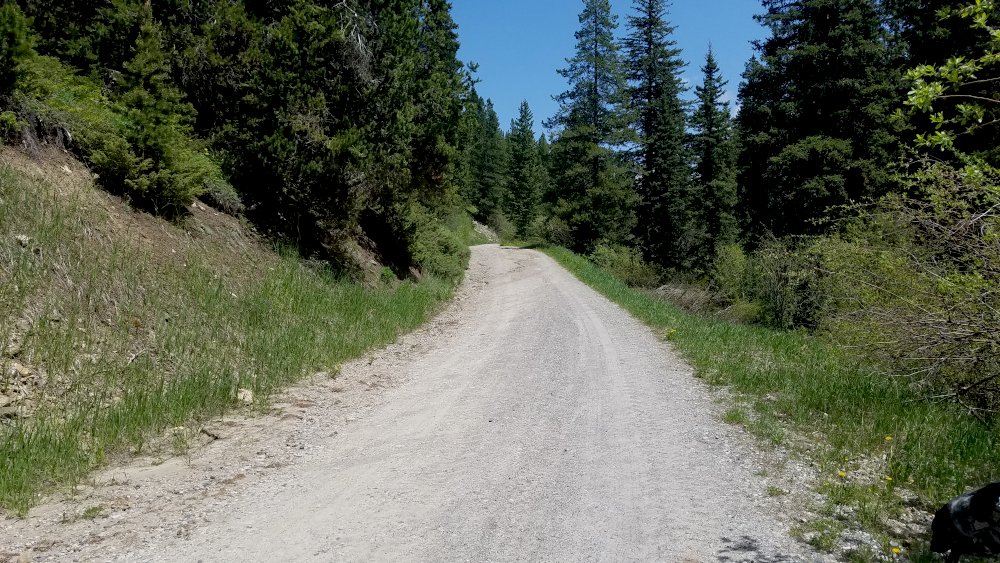
Moser Creek Road
Starting from the upper end of the trailhead, cross the roadblock and head uphill along Moser Creek Road. This part of the trail was my favorite stretch; garnets and fossils are all along this road. Keep an eye out for a glint of red, and you’ll be able to easily find (and keep) some of the abundant small garnets along this section of the trail. Gallatin National Forest regulations allow you to keep some of these treasures you find, whereas the nearby Gallatin Petrified Forest and Yellowstone National Park forbid collecting rocks without a permit. Continuing uphill, a road appears off to the left towards Leverich Canyon. Follow Moser Creek Road to the right to pass this turn, continuing uphill. The first half of this hike follows this road; the distance goes by quickly, thanks to the excellent condition of the road.
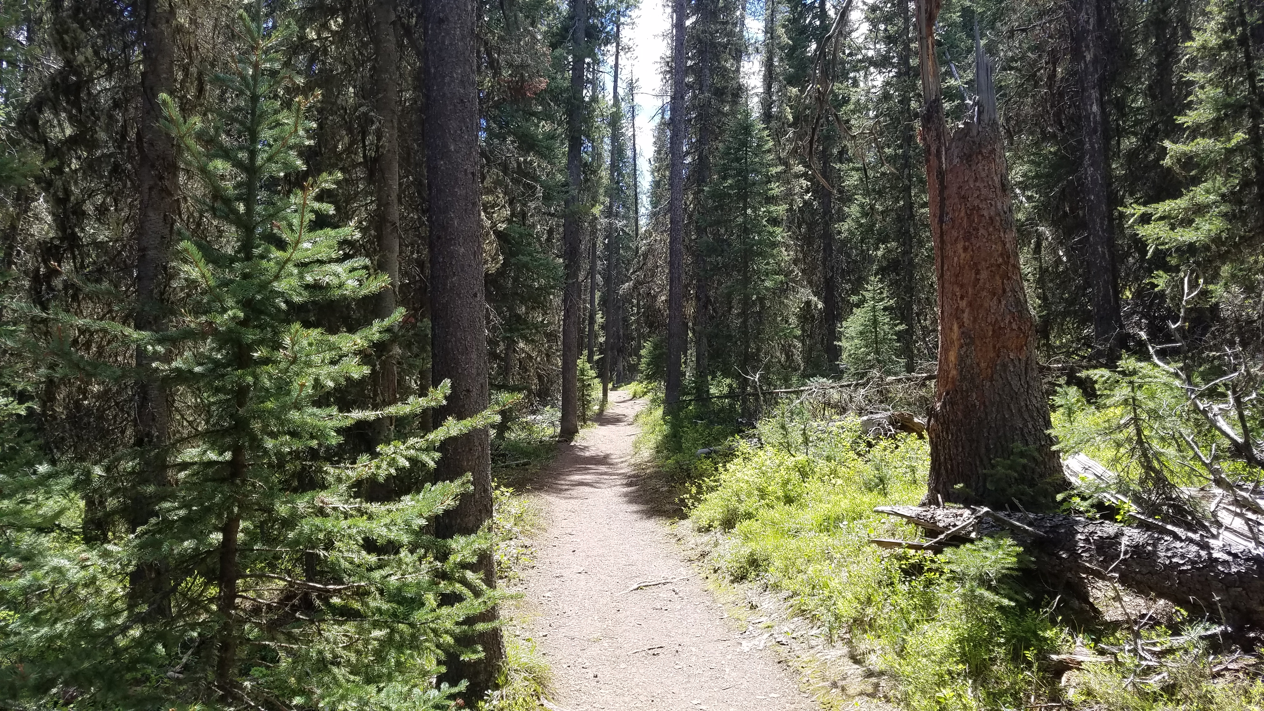
Moser Lick Trail 451
At approximately 2 ½ miles, the trail leads to a four-way intersection. Continue to follow the road straight through the intersection, where the road then bends to the left slightly. This is kind of a weird intersection, so make sure that the road you are following leads downhill. After approximately 300 yards, Moser Lick Trail #451 meets the road. Turn right at this trail, and immediately start hiking downhill. The forest is thicker along this section of the trail– a nice change from the open views and cut timber along the road. A vast meadow lies ahead of you once you emerge from the evergreen forest, this is where the hike becomes a little tricky.
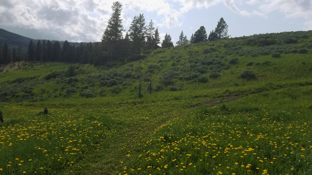
Returning to the Trailhead
Heading downhill, at approximately 4.5 miles from the trailhead, the trail meets a large intersection next to a fence. Turn right here to follow the trail immediately uphill, followed by a sharp left another few hundred yards later. If you miss the first right turn, the trail will lead to Hyalite Canyon Road, and finally to your car at the Moser Creek Trailhead. Missing the left turn will send you on a shortcut back to Moser Creek Road. If you are on the correct trail, the trail will climb briefly before gliding through the Moser and Buckskin Creek drainages, offering luxuries such as log benches for you to rest on. This flat section of the trail is more popular with hikers and families than any of the other trails you’ve hiked on during this hike, but it still isn’t crowded. Keep an eye out for garnets and fossils again, this last stretch of the trail offers both.
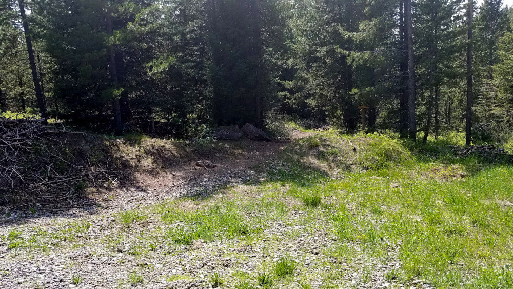
Forest Near History Rock
While there are many ways to hike this particular trail, I have found it to be the most rewarding to hike Moser Creek to Buckskin Creek, and then cut along Moser Lick Trail. Most guides that I have read would instead have you turn left at the first intersection, leading to Moser Creek Road and adding another mile to the hike. Regardless of the way you chose to hike this trail, bring your camera and binoculars– this area is well known for its scenery and wildlife. The wildlife here includes bears, so be sure that you hike safely in bear country.
Directions to the Trailhead
From Bozeman, drive on S 19th Ave for approximately 6.5 miles. Turn left onto Hyalite Canyon Road, and follow this road for 5.6 miles. The trailhead is located on the left side of the road.
