Bacon Rind Creek- Yellowstone National Park
Bacon Rind Creek- Yellowstone National Park
Bacon Rind Creek
If you’re looking for a quick day hike near West Yellowstone with beautiful scenery, look no further than Bacon Rind Creek. This short hike is great for small kids and adults alike, since the trail gains only a little over 300 feet in 2 ½ miles. Hikers looking for an adventure shouldn’t be worried about the trail’s easy grade– just because this is an easy hike it shouldn’t turn you away from Bacon Rind Creek, this grassy valley harbors some of Yellowstone’s famous wildlife; bears, moose, and rainbow trout all thrive in this valley. Once you’ve found the trailhead (refer to the directions below), you can begin this quick hike.

Bear Track on Trail
This guide covers hiking the Bacon Rind Creek Trail a little further than the Yellowstone National Park Boundary, which is where most hikers turn around. This still makes the hike a quick one, and you can extend this hike for as far as you want- the Bacon Rind Creek Trail runs another 3 ½ miles past the boundary, in the Gallatin National Forest. Regardless of how far you plan to hike along Bacon Rind Creek, know how to safely hike in bear country— this hike runs through ideal bear habitat, both black bears and grizzly bears make their homes in this valley.
Bacon Rind Creek Trail
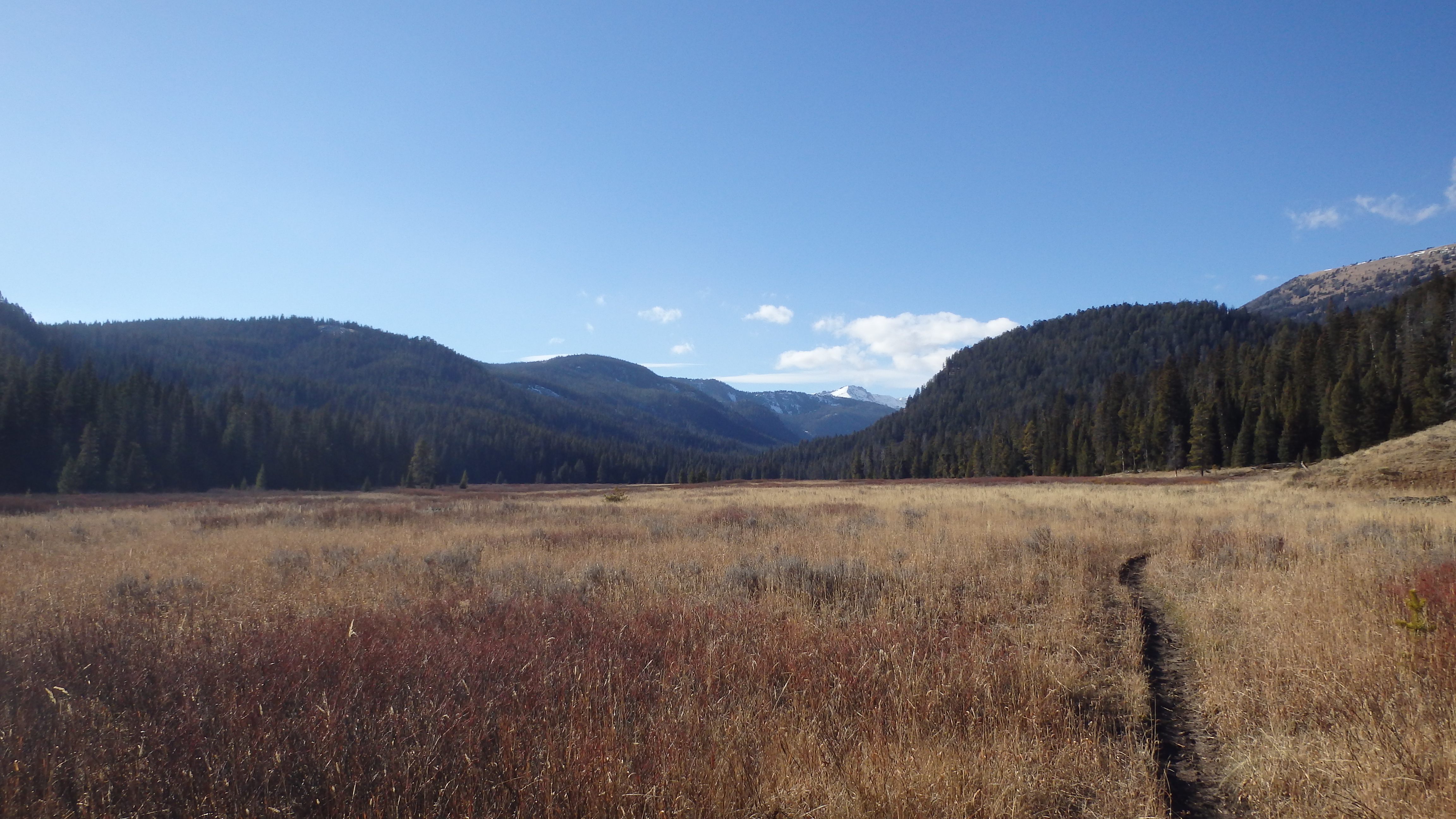
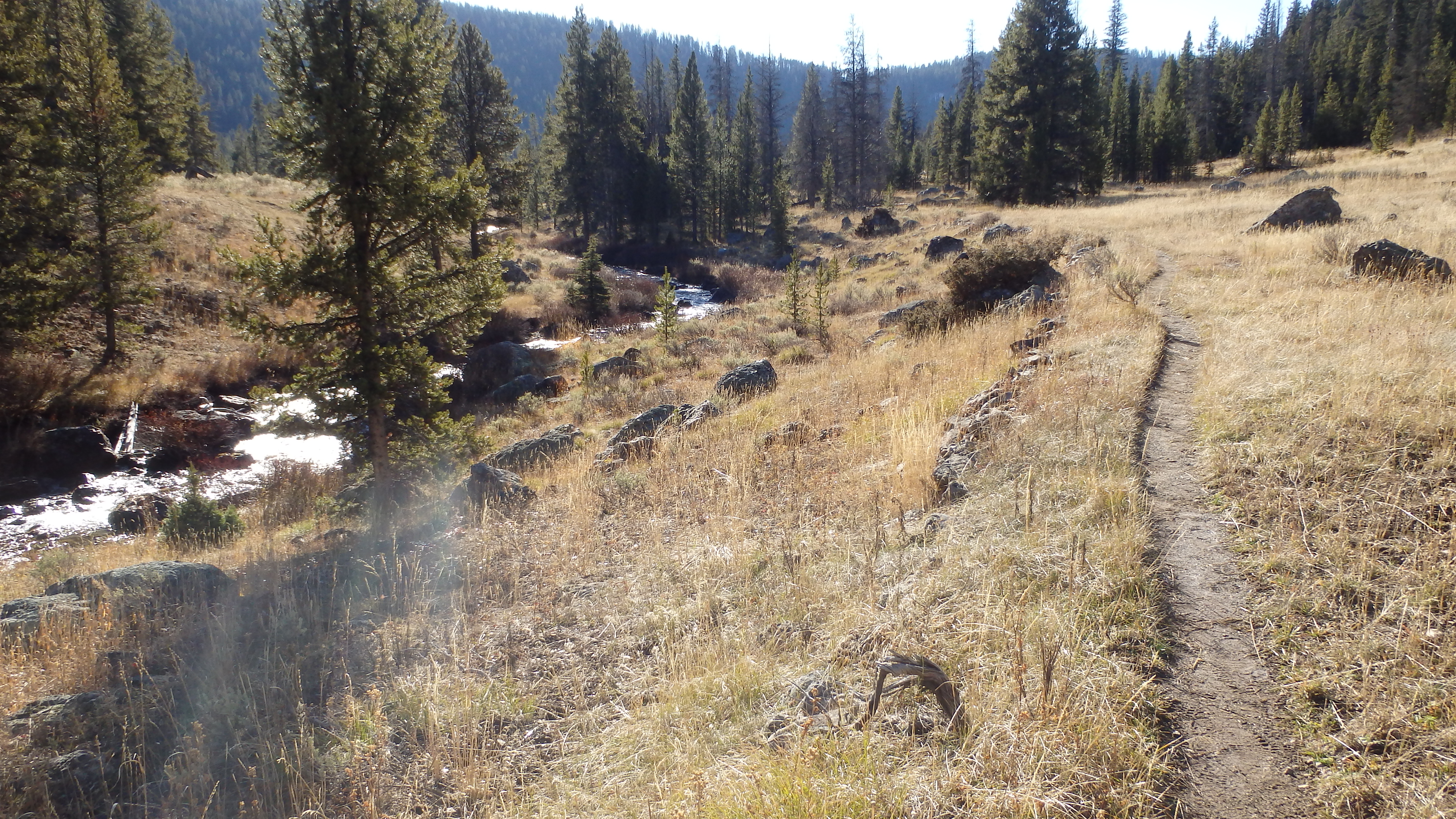
Leaving the trailhead, you are quickly introduced to Bacon Rind Creek, as it tumbles towards the Gallatin River. This is the busiest portion of the creek along this hike- the trail quickly flattens, and the stream slows, offering a splendid view of the valley. This valley is one giant grassy meadow– perfect moose and bear habitat, so keep your binoculars handy. Bacon Rind Creek meanders through the meadow offering anglers ample fishing holes, and water for thirsty hikers. Although Yellowstone’s most notorious insect, the mosquito, is ever present here in the early summer, hiking Bacon Rind Creek in the fall or late summer offers relief from these pests.
Yellowstone National Park Boundary
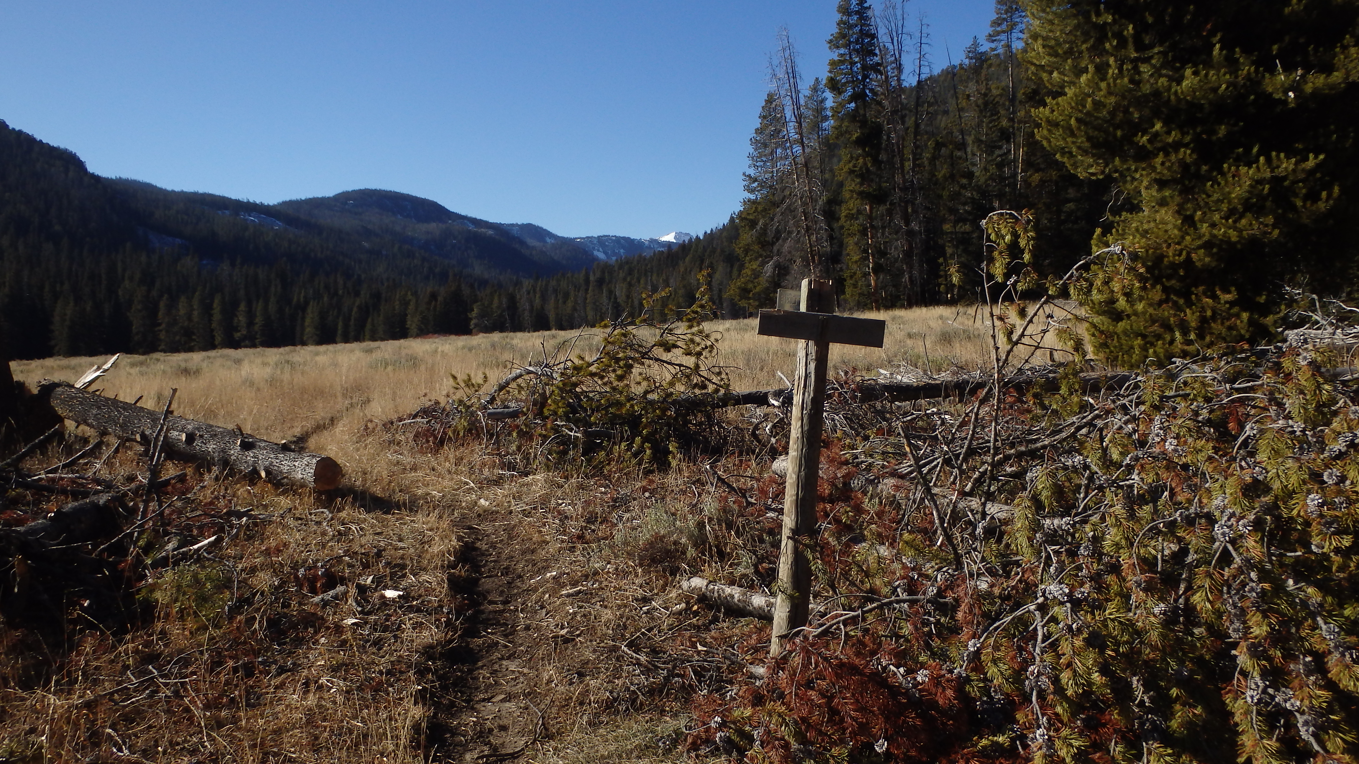
After a quick two miles, the Yellowstone National Park boundary appears. Most hikers turn around here, but an extra half mile of hiking will reward you with an even better view. Hike past the park boundary, and cross Migration Creek. This is an easy crossing any time of the year, although it is marshy in the early summer. Hop across on rocks or cross the marsh bed to the other side, which is where the trail quickly leads uphill. From here, the trail takes on a new character- instead of hiking a level trail next to a scenic creek, the trail switchbacks into a mature forest.
Above Bacon Rind Creek
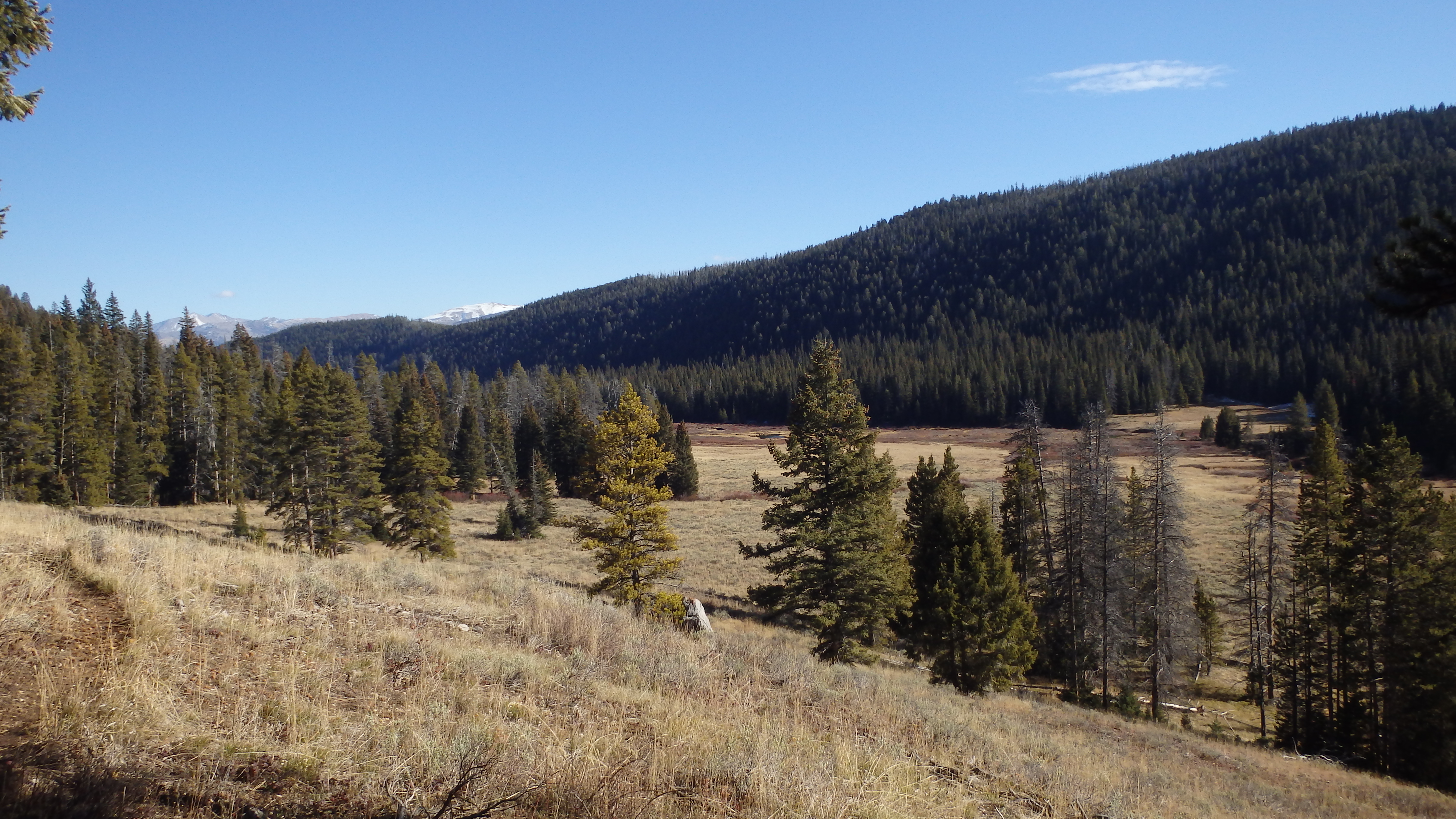
After you cross Migration Creek, you can hike as far as you want along the Bacon Rind Creek Trail. As you gain elevation, you’ll be glad that you didn’t turn around at the Yellowstone Park boundary– the vista of the valley below is something you don’t want to miss on this trail. Once you’ve reached your turnaround point, stop for lunch in the forest (the many downed trees make perfect benches), and start heading back down the trail. As you head back towards the trailhead, be thankful for the few hikers that you pass, since the Bacon Rind Creek Trail receives little traffic compared to other trails in the park.
Directions to the Trailhead
From West Yellowstone, drive 21 miles north on Highway 191. The trailhead will be on the west side of the road, just past the Fawn Pass trailhead. The turnoff for the trailhead can be hard to miss- look out for a small wooden sign that marks the short road to the trailhead.